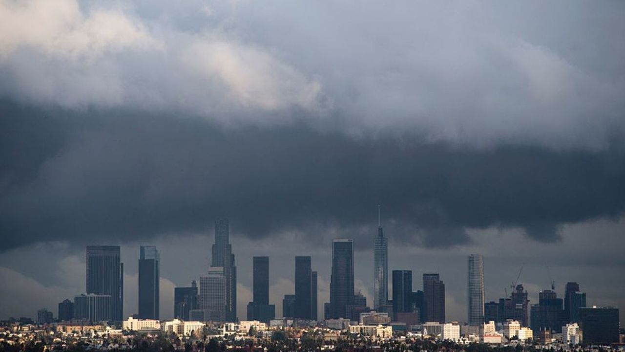
Southern California — After a stretch of warm temperatures and strong Santa Ana winds, a noticeable shift in weather is arriving across Southern California, bringing cooler air and a chance of rain starting Tuesday.
According to the National Weather Service, a weakening storm system is expected to move through the region beginning Tuesday afternoon and continuing into the night. This system marks the first meaningful change after days of dry and breezy conditions.
What’s Changing in the Weather
Residents across the region can expect scattered showers to develop later in the day, with rain continuing overnight in some areas. While not a major storm, the rainfall is expected to be widespread enough to impact daily routines, especially during evening hours.
Meteorologists say the rain is tied to the tail end of a Pacific system moving inland. Although the system is losing strength, it still carries enough moisture to bring light to moderate showers across multiple counties.
Rainfall Expectations by Region
Rainfall totals will vary depending on location. Coastal and central regions are likely to see the most precipitation.
- Santa Barbara and San Luis Obispo counties could receive between 0.50 and 1.5 inches of rain
- Ventura, Los Angeles, Orange counties, and the Inland Empire are expected to see lighter rainfall, ranging from 0.10 to 0.50 inches
While these amounts are not considered severe, they are significant given the recent dry spell.
Noticeable Drop in Temperatures
Along with the rain, temperatures are set to fall sharply compared to the weekend. Most areas will see daytime highs in the upper 60s to low 70s, roughly 10 degrees cooler than recent conditions.
This cooldown will bring a more typical seasonal feel, especially after the unusually warm and windy weather driven by Santa Ana conditions.
Wind and Localized Impacts
In addition to rain and cooler air, some regions — particularly mountains and high desert areas — may experience strong wind gusts between 45 and 50 mph.
Officials warn that these conditions could lead to minor issues, including:
- Reduced visibility in elevated areas
- Travel difficulties in windy corridors
- Light debris movement in exposed locations
Flooding Risk Remains Low but Possible
Forecasters note a low-end risk of minor nuisance flooding, especially in vulnerable areas such as:
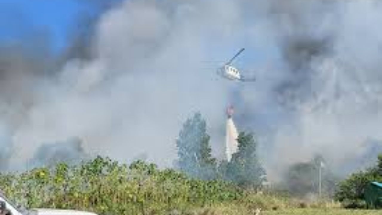
- Burn scar zones
- Mountain slopes
- Poor drainage urban spots
While widespread flooding is not expected, residents in these areas are advised to remain cautious during periods of steady rain.
What Residents Should Keep in Mind
This weather shift serves as a reminder of how quickly conditions can change in Southern California. Even a relatively mild storm can bring noticeable impacts after a long dry period.
Commuters may want to plan for slower travel Tuesday evening, and those in wind-prone areas should secure loose outdoor items.
Officials continue to monitor the system and will provide updates if conditions change.