- Temperatures across the Ozarks will climb 10–15 degrees above normal, hitting the low 90s by Friday.
- Isolated strong storms are possible tonight, Tuesday, May 12, with quarter-size hail and 60 mph wind gusts.
- The highest storm risk runs along and north of the I-44 corridor — Springfield, Lebanon, and Rolla included.
- After tonight, a brief calm returns before more storm chances develop again by Friday.
SPRINGFIELD, Missouri — If you stepped outside today and felt the heat already building, you are not imagining it — and this week, it is only going to get more intense.
A significant warming trend is underway across the Ozarks, and the National Weather Service in Springfield is now tracking multiple rounds of storm activity alongside temperatures that could feel more like July than mid-May.
Tonight Could Get Rough for Parts of the Ozarks
The first concern arrives this evening.
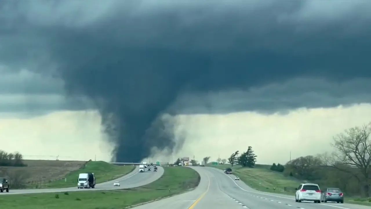
A marginal risk — Level 1 out of 5 — for isolated strong to severe thunderstorms is in place between 7 p.m. and midnight on Tuesday, May 12.
The highest risk area runs along and north of the I-44 corridor, covering Springfield, Lebanon, and Rolla.
Any storms that fire up tonight could bring wind gusts up to 60 mph and hail up to quarter size. Coverage is expected to stay limited, but forecasters are urging residents to stay alert and check for warnings during the evening hours.
Heat Is the Bigger Story This Week
Even if tonight stays quiet in your neighborhood, the heat will not.
Highs across Greene County and the broader Springfield metro will push from the upper 70s and mid-80s early this week to the upper 80s and low 90s by Friday, May 15, and into the weekend.
That puts temperatures 10 to 15 degrees above what is typical for this time of year — a stretch that covers not just Springfield but surrounding Ozarks communities as well.
Residents are encouraged to stay hydrated, limit time outdoors during peak afternoon hours, and check on neighbors — especially elderly family members and those without air conditioning.
Midweek Brings a Brief Break
Wednesday and Thursday are expected to offer mostly sunny skies and quieter conditions — a short window before the pattern becomes more active again.
But do not get too comfortable.
Another Round of Storms Possible by Friday
By Friday, May 15, storm chances may return north of Springfield as temperatures peak and humidity increases heading into the weekend.
The combination of intense heat and rising moisture levels creates favorable conditions for strong storm development, and forecasters will be watching the region closely.
What You Should Do Now
Whether your concern tonight is storms or the heat heading into the weekend, a few steps can make a real difference:
- Charge your phone fully before tonight’s storm window
- Download a reliable weather alert app if you do not have one
- Know where your safe shelter is in case warnings are issued
- Stay hydrated throughout the week — heat-related illness rises fast when temperatures spike this sharply
The National Weather Service will continue updating forecasts throughout the week. Stay tuned to local alerts, especially during evening hours when storm activity is most likely across the Ozarks.
Have you already felt the heat today, or are you watching the storm chances tonight? Tell us where you are in the Ozarks and what conditions look like from your area — drop it in the comments below.