Hastings, Nebraska — A strong line of severe thunderstorms is expected to move across central and southern Nebraska Sunday evening, bringing dangerous travel conditions and possible power disruptions along the busy I-80 corridor.
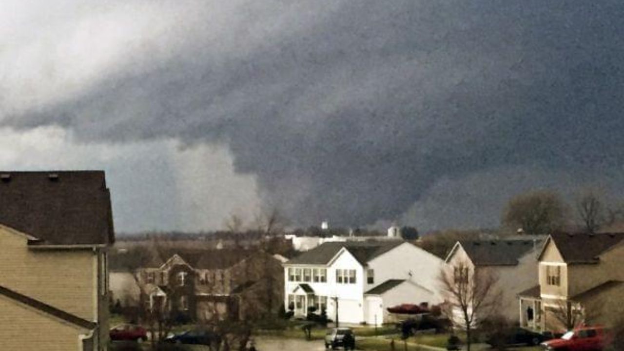
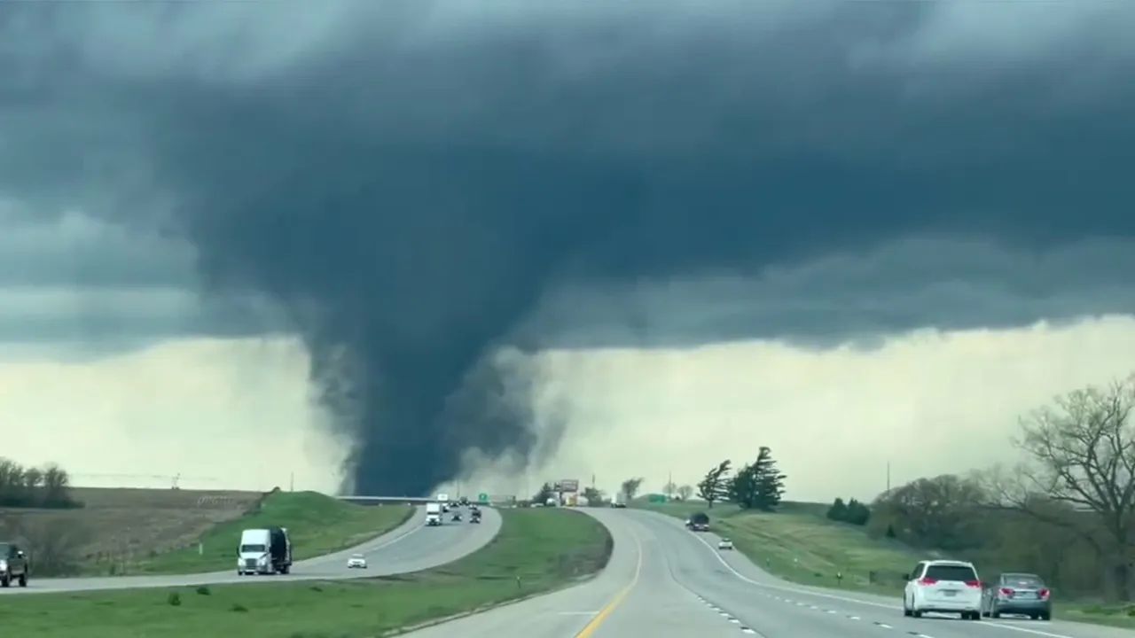
According to the National Weather Service office in Hastings, storms are likely to develop by around 6 p.m. and intensify through the night, with the threat lasting until about 1 a.m. Monday. Forecasters say the system could bring wind gusts up to 65 mph, hail as large as half-dollars, and even a low chance of an isolated tornado.
Where the Impact Will Be Strongest
The most affected areas are expected to include Kearney, Grand Island, Hastings, and Holdrege, with the storm system extending south toward the Kansas border. Weather models suggest storms may track eastward along and south of I-80, impacting key travel routes like Highway 281 and Highway 6.
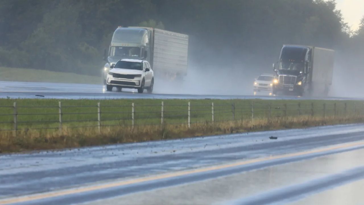
Drivers should be especially cautious, as sudden heavy rain could reduce visibility and create patches of localized flooding on roads.
What to Expect Through the Evening
Storms are expected to begin forming in the late afternoon before strengthening rapidly into the evening hours. This timing could coincide with peak travel periods, increasing the risk of delays and hazardous conditions.
Strong wind gusts may knock down tree branches or power lines, while hail could damage vehicles and property. Even brief storms may produce intense rainfall in a short period.
How Residents Can Prepare
Officials are urging residents to take simple precautions ahead of the storms:
- Secure loose outdoor items before storms arrive
- Charge mobile devices in case of outages
- Avoid unnecessary travel during peak storm hours
- Never attempt to drive through flooded roadways
Being prepared ahead of time can reduce risks, especially as conditions may change quickly once storms begin.
What Happens Next
Storm activity is expected to weaken after 1 a.m. Monday, though weather officials say conditions will continue to be monitored closely. Additional alerts or warnings could be issued if the storm system intensifies or shifts its path.
Residents are encouraged to stay updated through local alerts and be ready to act if warnings are issued overnight.