Eureka, California — Northern California is heading into a concerning stretch of weather after an unusually dry and warm March left large parts of the region struggling with significant rainfall deficits.
According to the National Weather Service in Eureka, several counties including Humboldt, Del Norte, Mendocino, and Lake recorded only a fraction of their normal rainfall—ranging from 0% to just 19% of expected levels. In some of the hardest-hit areas, the shortfall has been severe. Honeydew reported a deficit of more than 17 inches, while Gasquet and Laytonville were each between 8 to 10 inches below normal.
At the same time, inland communities experienced an early surge in temperatures. Cities like Ukiah, Potter Valley, and Clearlake saw highs climb into the upper 70s and even low 80s—well above seasonal averages by as much as 15 degrees. Coastal areas such as Eureka and Crescent City remained cooler, but the inland heat has raised concerns.
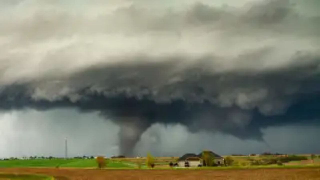
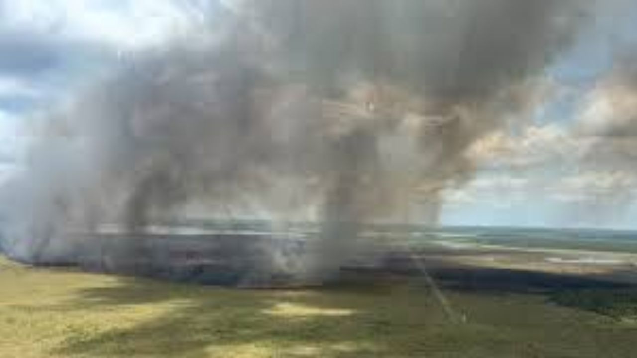
This unusual combination of dry conditions and elevated temperatures is accelerating the drying of vegetation across valleys and foothills. As a result, fire risk is beginning to rise earlier than expected, especially along key corridors like Highway 101 and State Route 20.
While a few scattered showers are expected later this week, they are unlikely to significantly ease conditions. Officials continue to monitor the situation closely as Northern California enters a potentially volatile period heading into spring.