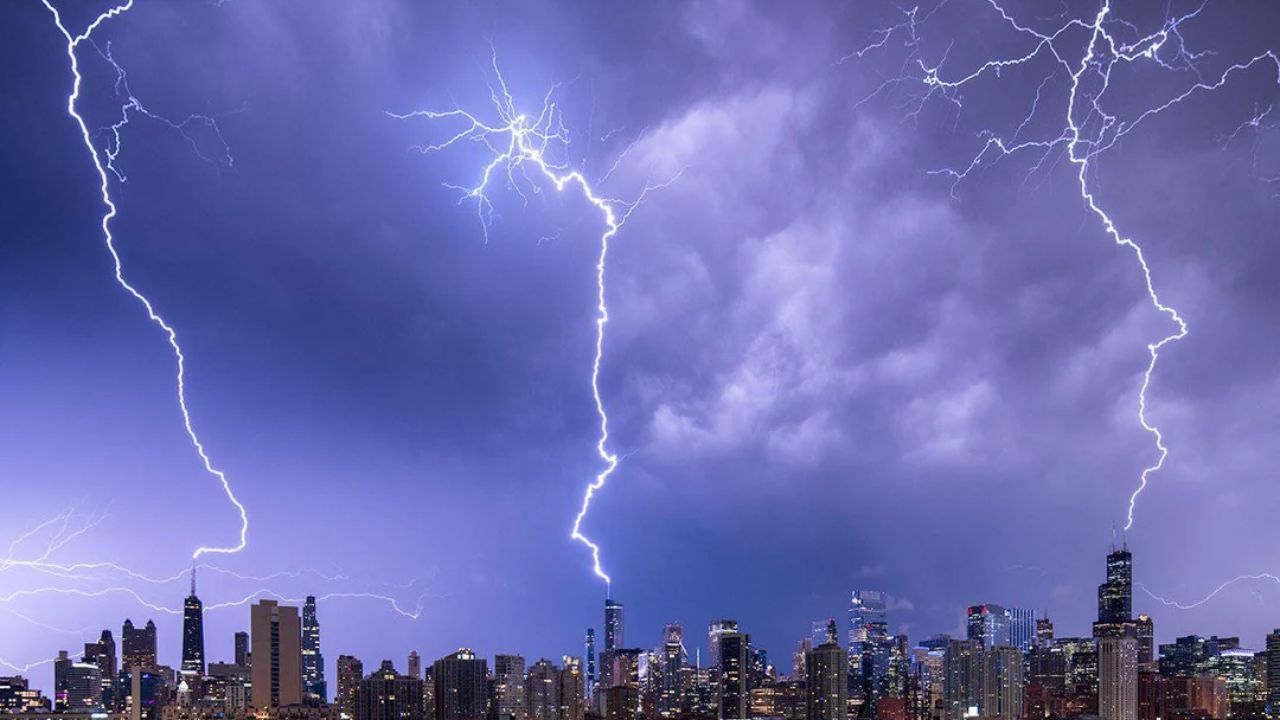
Central Illinois residents are being urged to stay indoors tonight as a dangerous wave of severe storms threatens to unleash tornadoes, 70 mph winds, and baseball-sized hail across the region between 4 p.m. and 10 p.m. Monday.
The National Weather Service Storm Prediction Center has placed central Illinois in an enhanced to moderate risk zone — one of the highest threat levels issued before a major storm event.
Who Is at Risk?
The highest impact cities include:
- Springfield
- Peoria
- Bloomington
- Decatur
- Champaign
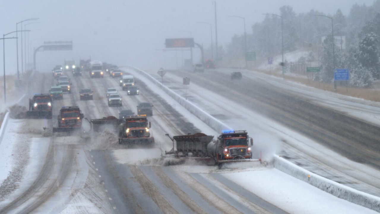
Storms are expected to form west of the Illinois River before rapidly tracking eastward — directly crossing major highways including I-55, I-57, I-72, and I-74 during peak travel hours.
What to Expect
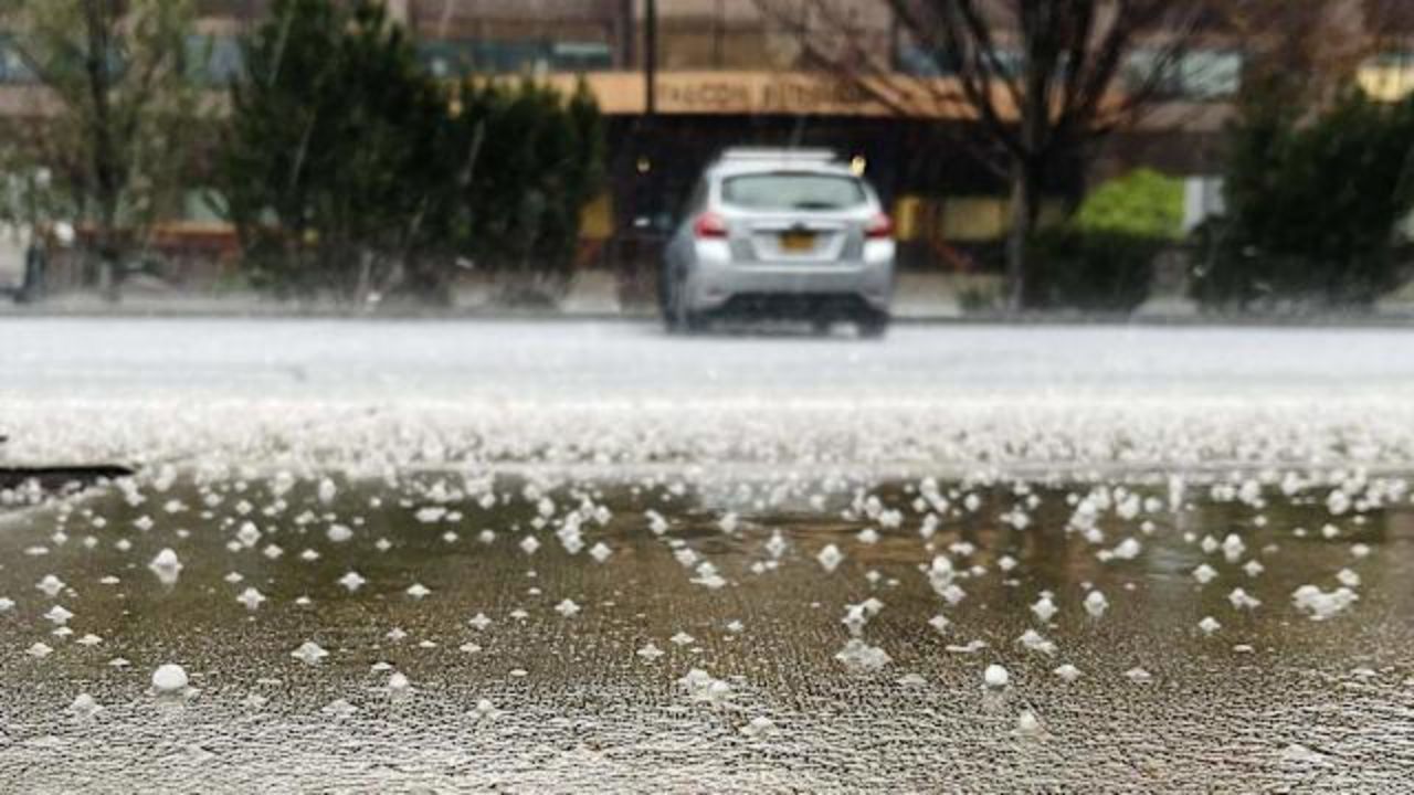
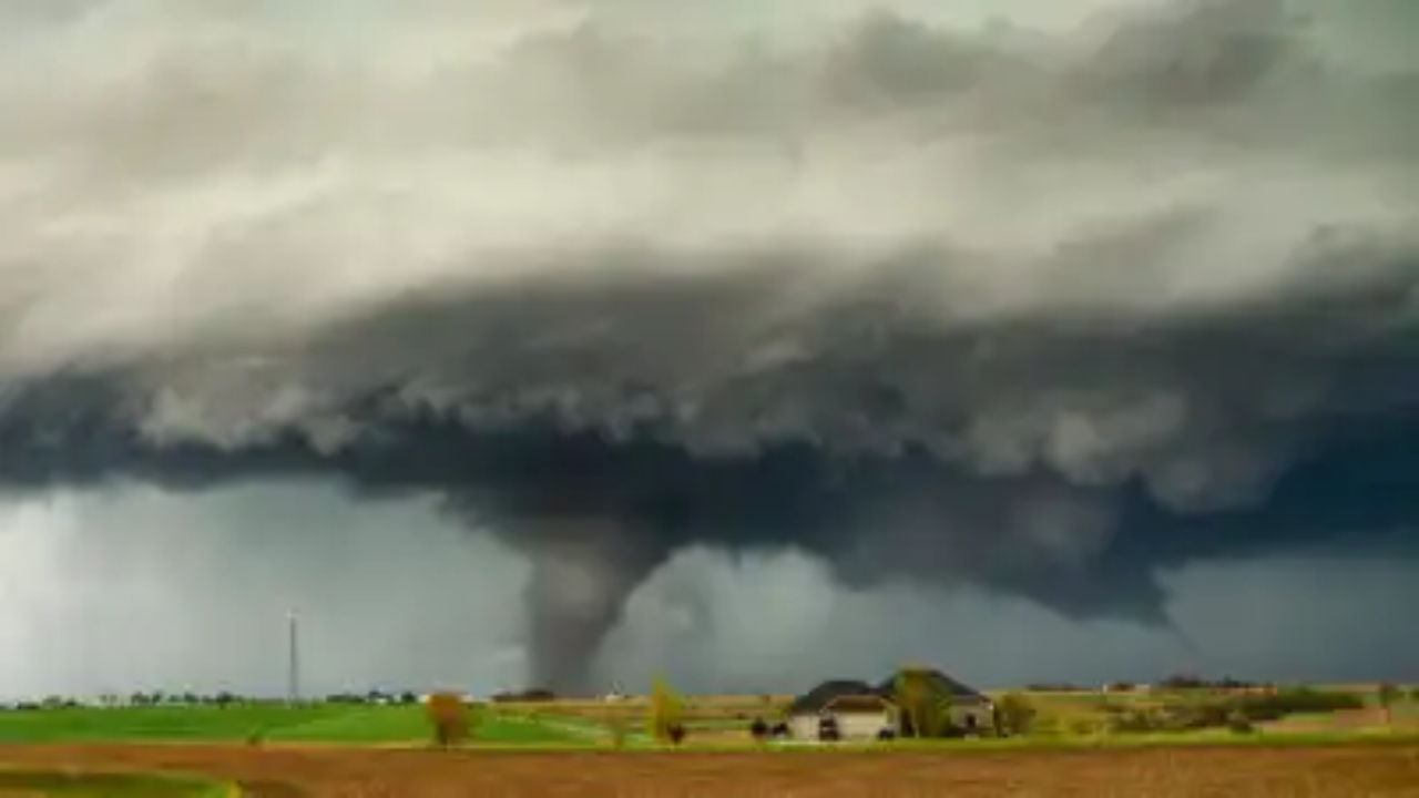
Rapidly developing supercells may produce isolated tornadoes, especially between 5 p.m. and 8 p.m. Hail up to 2 inches in diameter, sudden visibility drops, and debris on roadways could make driving extremely dangerous with little warning.
Wind gusts near 70 mph may bring down trees and power lines, causing widespread outages across Sangamon, McLean, and Champaign counties.
What You Should Do Right Now
- Avoid all travel after 4 p.m., especially on open highways
- Secure all outdoor furniture and items immediately
- Fully charge your phone and devices now
- Identify your nearest shelter location before storms arrive
- Stay tuned for rapidly updating warnings — alerts may come with very little lead time
Storms will move quickly through the evening, with the severe threat continuing until 10 p.m. Additional tornado warnings may be issued as conditions develop eastward.
For live storm tracking, updated road closures, and county-by-county breakdown of the highest risk zones — Full coverage at thecmeaglet.com