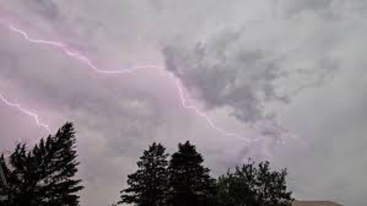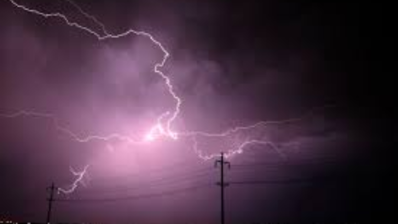
Drivers and residents across eastern Virginia should prepare for a significant weather shift this week as strong thunderstorms are expected to move through the region Wednesday afternoon and evening.
According to the National Weather Service in Wakefield, widespread showers and thunderstorms are forecast to develop after 3 p.m. Wednesday, with storms intensifying through the evening hours and potentially lasting until 10 p.m.
Which Cities Are at Risk?
Several major Virginia cities are in the storm’s path, including:
- Richmond
- Norfolk
- Virginia Beach
- Newport News
Residents in and around these areas should expect heavy downpours, reduced visibility, and possible thunder and lightning during the evening hours.
Major Roads Could Be Affected
The evening commute could be seriously disrupted. Key highways including I-95, I-64, and U.S. Route 58 may experience:
- Slick and wet road surfaces
- Significantly reduced visibility
- Possible traffic slowdowns and accidents
If you plan to travel Wednesday evening, consider leaving early or delaying your trip until conditions improve.
What About Before and After?
Today’s weather remains mostly sunny with comfortable highs between 67 and 71 degrees inland. Tuesday will stay relatively calm with only isolated shower chances in the afternoon.
After Wednesday’s storm system moves through, Thursday brings relief — cooler and drier conditions with highs in the mid to upper 60s. A few light showers are possible again Saturday, but nothing significant is expected.
What Should You Do Now?
- Monitor National Weather Service updates closely
- Secure outdoor furniture and loose items before Wednesday
- Plan alternate routes or adjust travel timing
- Keep an emergency kit in your vehicle
For the latest storm timing, affected zip codes, and hour-by-hour breakdown of Wednesday’s severe weather system across Virginia —
Full coverage and updates at thecmeaglet.com