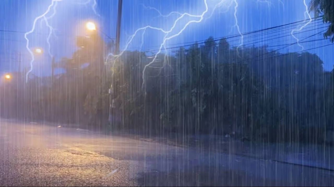
A slow-moving rainstorm is expected to bring much-needed relief across Florida this week, offering hope after months of worsening drought and rising wildfire concerns.
Forecasters say steady rain from Monday through Thursday could deliver 1–2 inches across South Florida and the Atlantic coast. In some areas, repeated thunderstorms may push totals up to 4–6 inches, raising the risk of localized flooding, especially in low-lying or poorly drained neighborhoods.
The rainfall comes at a critical time. Large parts of the state have seen only a fraction of their usual precipitation since the start of the year, with nearly 80% of Florida facing severe to extreme drought conditions. Northern regions have been hit hardest, where rivers and streams have dropped to unusually low levels.
This dry stretch has also increased wildfire danger across the state and parts of the southeastern U.S. Officials expect the incoming rain to help reduce that risk by restoring soil moisture and improving vegetation conditions.
However, the storm won’t be without hazards. Strong onshore winds along the Atlantic coast could create rough surf and dangerous rip currents throughout the week. Beachgoers are being urged to exercise caution, as conditions may become unpredictable, especially during high tide. Minor coastal flooding and beach erosion are also possible in some areas.
While the rain is a welcome change, it may not fully end the drought. Still, for many communities, it marks a much-needed step toward recovery after one of the driest periods in decades.