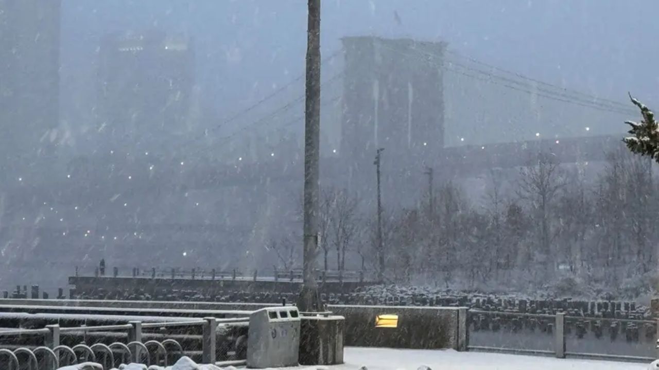
After a brief taste of spring warmth, winter-like conditions are making a sharp comeback across the Northeast, catching many residents off guard.
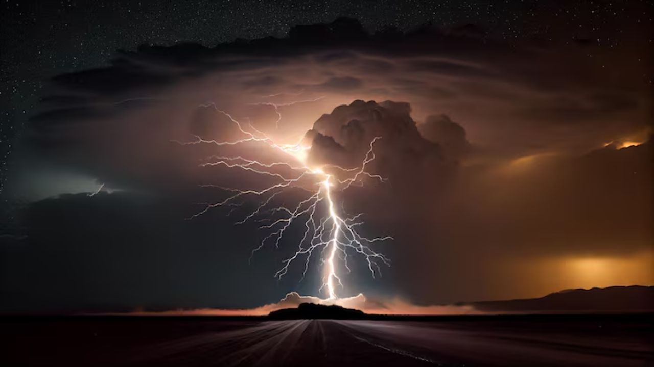
A powerful dip in the jet stream is pulling cold Canadian air deep into the region, triggering a noticeable drop in temperatures and bringing back snow showers in areas that haven’t seen flakes in weeks. The shift follows a warm weekend where temperatures climbed into the 70s and 80s in some places, only to plunge by nearly 30 degrees within a day.
By Monday morning, many cities woke up to temperatures in the 30s and low 40s, a stark contrast that made it feel much colder than usual for this time of year. The second and stronger wave of cold air is expected to intensify conditions, making it feel more like late winter than early spring.
According to AccuWeather meteorologist Brandon Buckingham, the colder air at higher altitudes is helping fuel frequent flurries and snow showers. These are spreading from parts of the Midwest into Pennsylvania, New York, and New England.
While lower elevations may only see light accumulation or slushy coatings, higher terrain areas such as the Adirondacks and Green Mountains could receive several inches of snow. Gusty winds are adding to the chill, making outdoor conditions even harsher.
Despite the cold snap, there is a small upside. The break from heavy rain may help ease flooding concerns in parts of the Midwest.
Forecasters say the coldest temperatures are likely to hit midweek, with cities like New York and Boston struggling to get out of the 40s, prolonging this unexpected return to winter-like weather.