Duluth, MN – A sharp blast of cold air is set to take hold across northern Minnesota tonight, bringing dangerously low temperatures and slick road conditions into early Tuesday morning.
Light snow showers will continue through Monday across the Northland, keeping temperatures below freezing for most of the day. As night falls, a stronger push of cold air will move in, causing temperatures to drop rapidly—especially in inland and low-lying areas where readings could fall below 0°F.
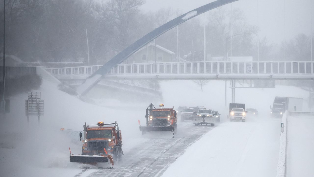
Cities like Duluth, Hibbing, International Falls, and Ely are expected to see icy conditions develop overnight. Roads, bridges, and untreated surfaces will become especially hazardous, creating a difficult Tuesday morning commute. Drivers are urged to slow down and remain cautious as visibility and traction may both be affected.
By Tuesday afternoon, snowfall will ease and skies will clear, but cold temperatures will persist. The next system arrives Wednesday, bringing a mix of rain and snow that could again disrupt travel across the region.
Looking ahead, conditions gradually improve later in the week. Temperatures are expected to climb into the upper 30s and 40s, with some areas reaching the 50s by the weekend. However, increasing chances of rain from late Saturday into Monday may bring additional weather-related challenges.
Residents are advised to prepare for extreme cold, dress in layers, and stay updated on changing weather conditions as the week progresses.