A dramatic warm-up is on the way for northeast Wisconsin, pushing temperatures nearly 20 degrees above where they’ve been — then a storm system crashes the party by Sunday night.
If you’ve been waiting for real spring warmth in Green Bay, this week finally delivers — but you’ll want to make plans for Saturday, because what follows is a whole different story.
After a breezy and cool Wednesday topping out near 61°F, the National Weather Service says temperatures will steadily climb through the rest of the workweek. By Saturday, much of northeast Wisconsin will be basking in sunshine with highs near 78 degrees — a dramatic turnaround from the chilly, gusty start to the week.
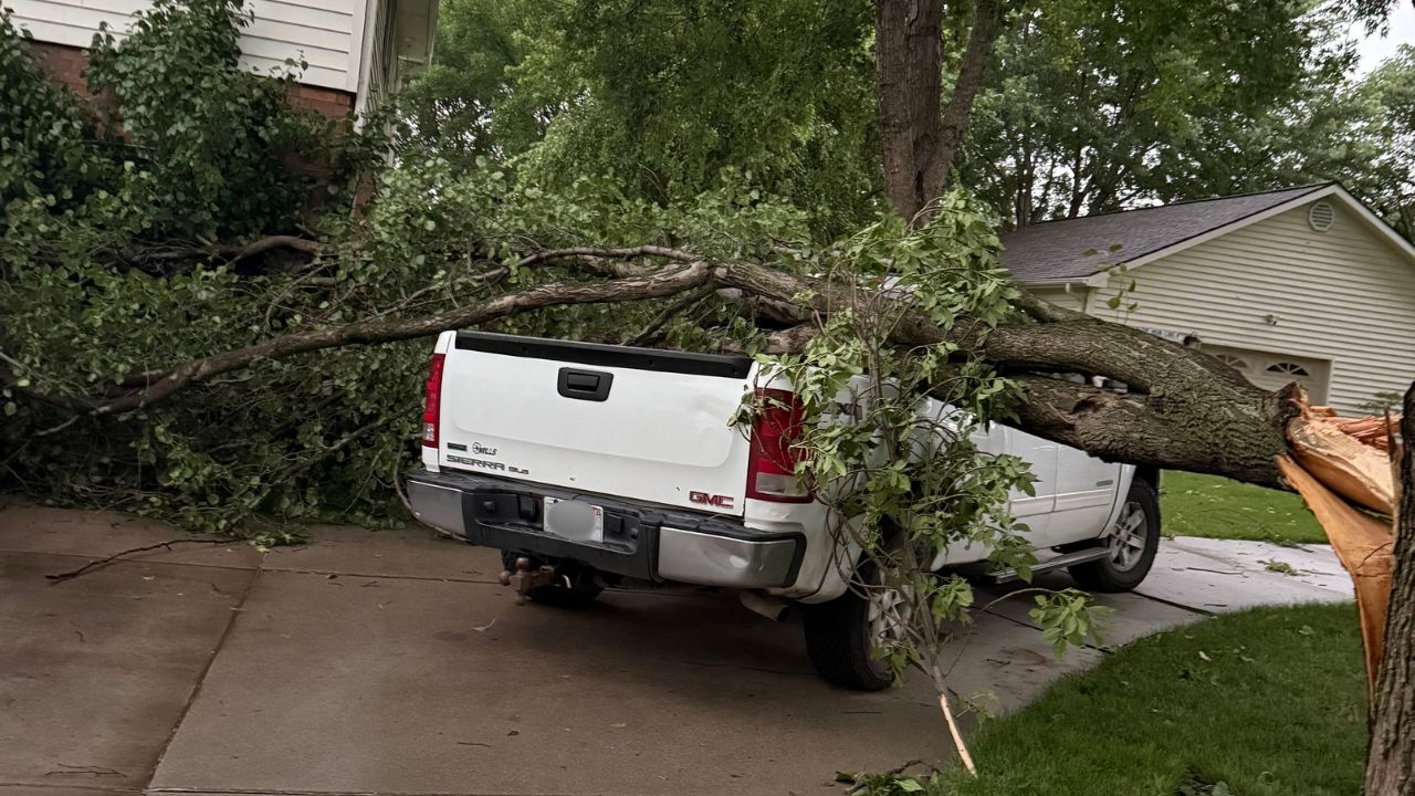
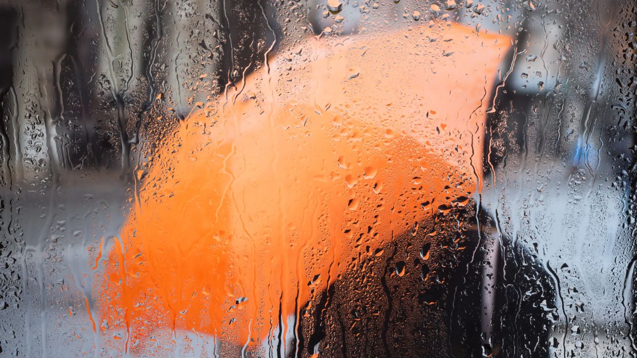
Heads up: Rain chances return late Saturday night, and Sunday into Monday could bring showers and thunderstorms as a new weather system sweeps into the Upper Midwest.
What to expect, day by day
Wednesday starts the week on the cooler side. Partly sunny skies and northwest winds gusting up to 30 mph will keep highs near 61°F — a reminder that spring in Wisconsin doesn’t fully commit without a fight. Overnight lows drop into the upper 30s.
Thursday brings sunshine and a noticeable step up in comfort, with highs reaching the mid-60s. The one wrinkle: a slight chance of overnight showers develops late Thursday night, ahead of Friday’s warmer push.
Friday sees partly sunny skies and highs climbing into the mid-70s — well above the seasonal average for mid-May. Enjoy it; it’s the opening act for the weekend’s main event.
Saturday is the highlight of the forecast. Full sunshine and highs approaching 78°F make this the warmest day of the stretch. Whether you’re heading to a park, a patio, or Lambeau Field’s parking lot for a spring cookout, this is your window.
Sunday through Monday, the pattern shifts. Rain chances increase, and additional showers and thunderstorms are expected Sunday night into Monday as another system rolls across the Upper Midwest. Despite the wet pattern, temperatures remain mild — upper 60s to low 70s — so it won’t feel like a full retreat to winter.
The bottom line
Northeast Wisconsin gets a genuine taste of late-spring warmth this week, but the window is narrow. Saturday is the day to be outside. By Sunday, the rain returns — though at least it’ll be a warm rain. Forecasters say the mild trend holds into early next week despite the stormy stretch, with highs expected to stay in the upper 60s to upper 70s across the Green Bay area.