LA CROSSE, Wisconsin — A shift in weather conditions is expected to impact western Wisconsin over the next two days, bringing light rain on Sunday followed by a higher chance of storms Monday afternoon that could affect travel and evening commutes.
According to the National Weather Service in La Crosse, the first round of rain is expected early Sunday morning between 6 a.m. and 11 a.m. These showers are likely to be light but could still make roads slick in areas including La Crosse, Eau Claire, Winona, and Sparta.
While Sunday’s rainfall is not expected to cause major disruptions, drivers may notice reduced traction on roads during the morning hours, especially on untreated surfaces and less busy routes.
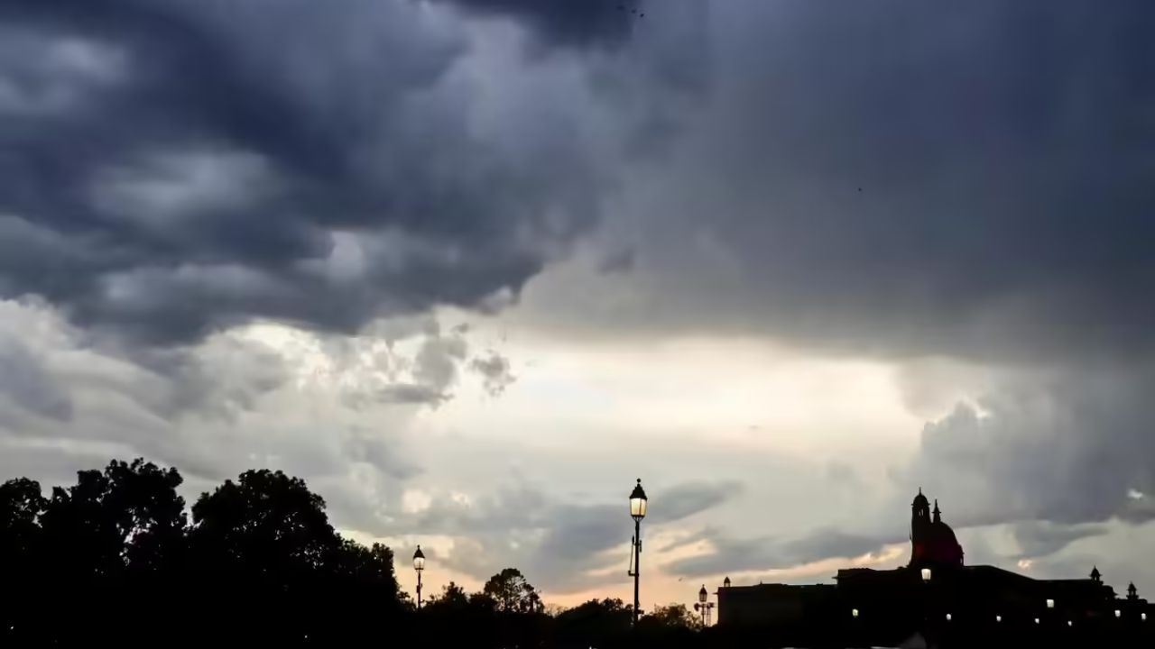
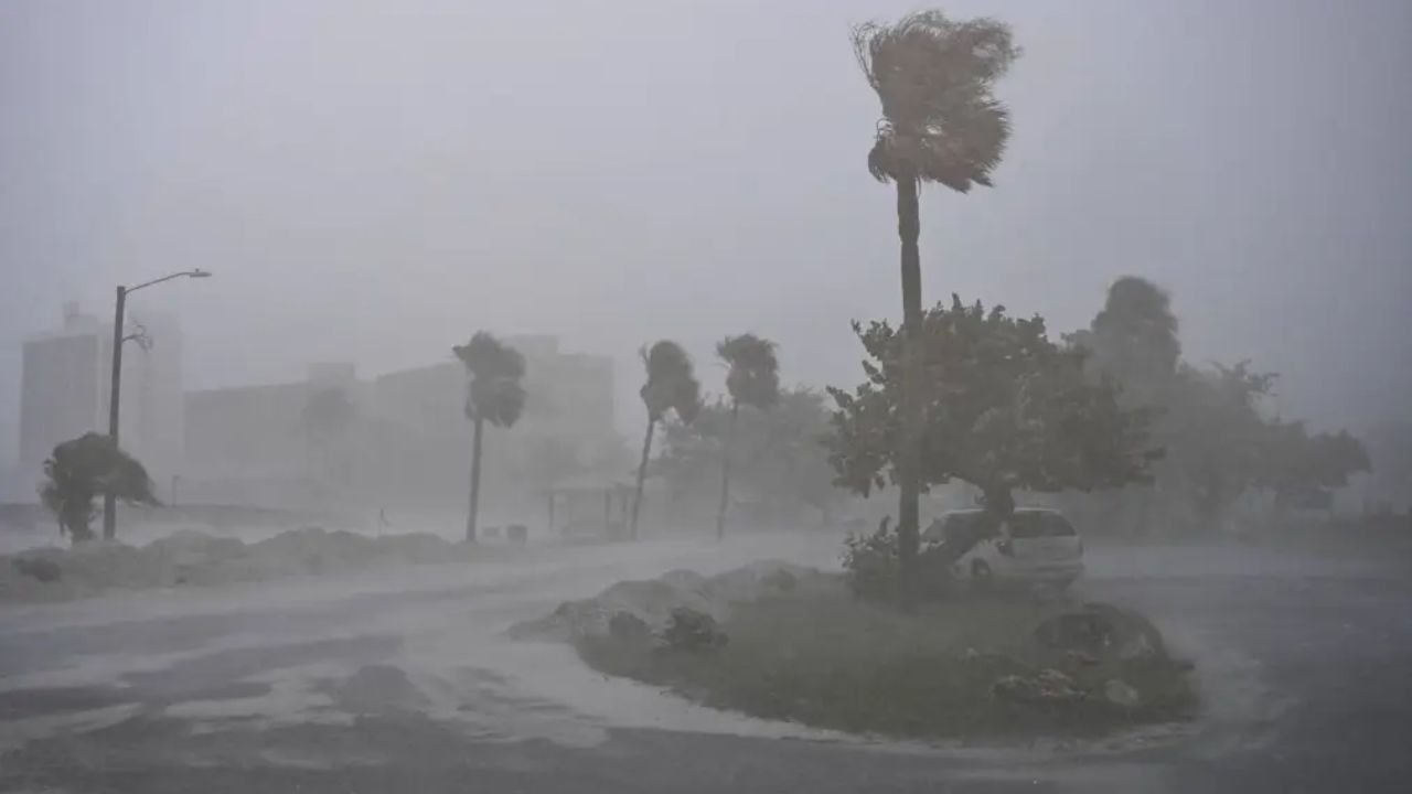
The more impactful weather is expected on Monday, when temperatures will rise into the mid-70s, creating conditions favorable for storm development. Forecasters say there is about a 50% chance of storms between 3 p.m. and 9 p.m., which could lead to brief but significant travel issues.
During this time, heavier rainfall may cause water to quickly collect on major routes such as Interstate 90, U.S. Route 53, and Wisconsin Highway 16. Low-lying areas, underpasses, and urban streets in and around La Crosse are particularly prone to temporary flooding during sudden downpours.
In addition to rain, gusty winds may accompany the storms, potentially blowing small debris onto roads and creating sudden hazards for drivers during the late-day commute.
This weather pattern is part of a larger system moving through the Upper Midwest, bringing a short-lived warm-up before a cold front moves in. Cooler air is expected to return by Tuesday, helping to stabilize conditions after the storms pass.
Residents are advised to stay alert to changing weather conditions, allow extra travel time, and use caution on wet roads. Officials also warn against driving through water-covered streets, as depth and road conditions can be difficult to judge.
The highest risk period remains Monday evening, when storms are most likely to cause slowdowns and temporary hazards across the region.