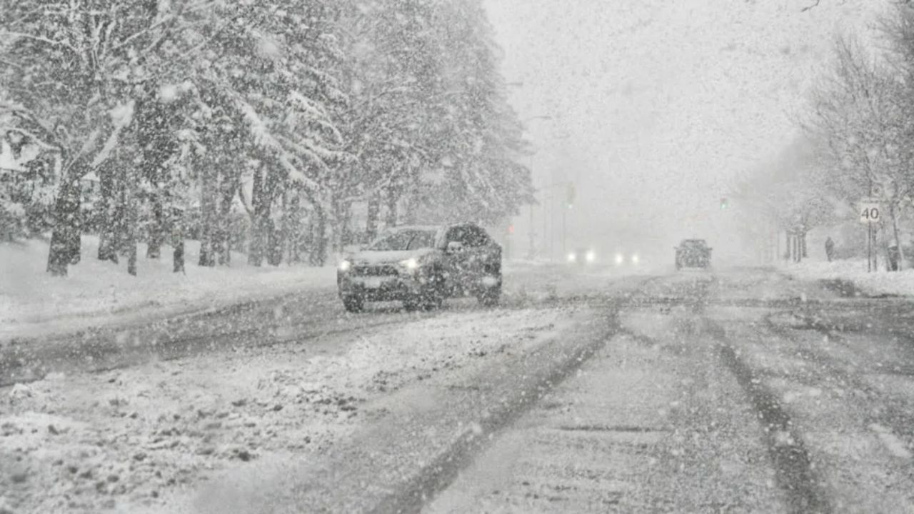
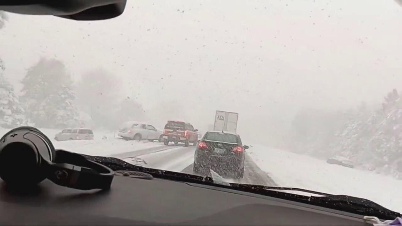
Repeat thunderstorm rounds could dump several inches in hours. Drivers on I-10 and Highway 90 are already facing standing water — and forecasters say the worst is still coming Tuesday and Wednesday.
Active NWS Alert: Flood Watch in effect through Monday evening for southeast Louisiana, including the New Orleans metro area. Repeated heavy rainfall expected, especially afternoon and evening hours.
Streets around Gretna and Harvey were already slick late Sunday morning as tropical moisture streamed inland from the Gulf, leaving puddles lining intersections across the New Orleans metro. What residents woke up to on Monday is only a preview of what forecasters say is shaping up to be a dangerous, multi-day storm stretch.
The National Weather Service has placed a Flood Watch across portions of southeast Louisiana through Monday evening — but the bigger concern lies just ahead. Meteorologists warn that the peak threat arrives Tuesday and Wednesday, when deep Gulf moisture collides with summer-like daytime heat. Stronger storms could drop several inches of rain within short windows, triggering localized flooding in low-lying neighborhoods with poor drainage.
Roads to avoid — or approach with caution
Drivers should prepare for significant disruptions along Interstate 10, the Crescent City Connection, and Highway 90. Reduced visibility, standing water, and rapidly intensifying downpours are expected to slow traffic throughout the week. The danger increases when multiple storm cells track repeatedly over the same corridor — a pattern forecasters expect this week.
Beyond flooding, storms could also produce gusty winds, frequent lightning, and isolated hail — hazards that extend well beyond just getting wet.
Heat is making it worse
Temperatures are climbing from the lower 80s today into the mid-to-upper 80s by midweek — creating hot, steamy conditions that actually fuel more storm development. The warmth recharges atmospheric instability each afternoon, essentially resetting the storm machine daily. Long-range forecasts signal this pattern continues into early June, with Gulf humidity keeping storm chances active across the broader region from Texas to Florida.
Your 5-day forecast
Mon 81°F Showers likely, storms
Tue 84°F Storms likely
Wed 86°F Storms likely
Thu 84°F Showers & storms
Fri 84°F Scattered storms
Residents in flood-prone areas should avoid driving through standing water, move vehicles to higher ground if possible, and monitor NWS alerts throughout the week. Even 6 inches of moving water can knock a person off their feet — 12 inches can carry away a small vehicle.