Northern California — A powerful spring storm swept across the region Tuesday, drenching parts of the Central Valley with steady rain while dumping heavy snow across the Sierra Nevada, creating hazardous travel conditions and raising concerns about localized flooding.
The storm system, which intensified early in the morning, brought widespread rainfall to areas including Modesto, Turlock, and surrounding communities. The heaviest precipitation was reported in the Sierra foothills, stretching from Nevada County down through Calaveras County, where consistent rain and rising runoff began affecting roadways and low-lying areas.
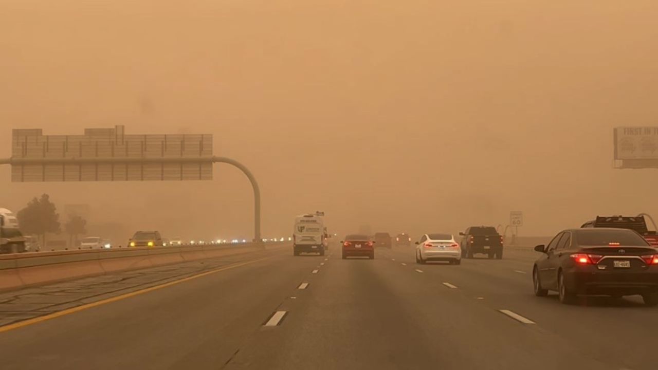
By mid-morning, the impact was already visible on major routes. Authorities reported minor flooding along Interstate 80 near Watt Avenue, slowing traffic and prompting caution among commuters. Officials urged drivers to remain alert as conditions continued to evolve throughout the day.
Storm Conditions Intensify Through the Day
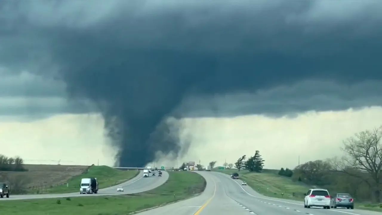
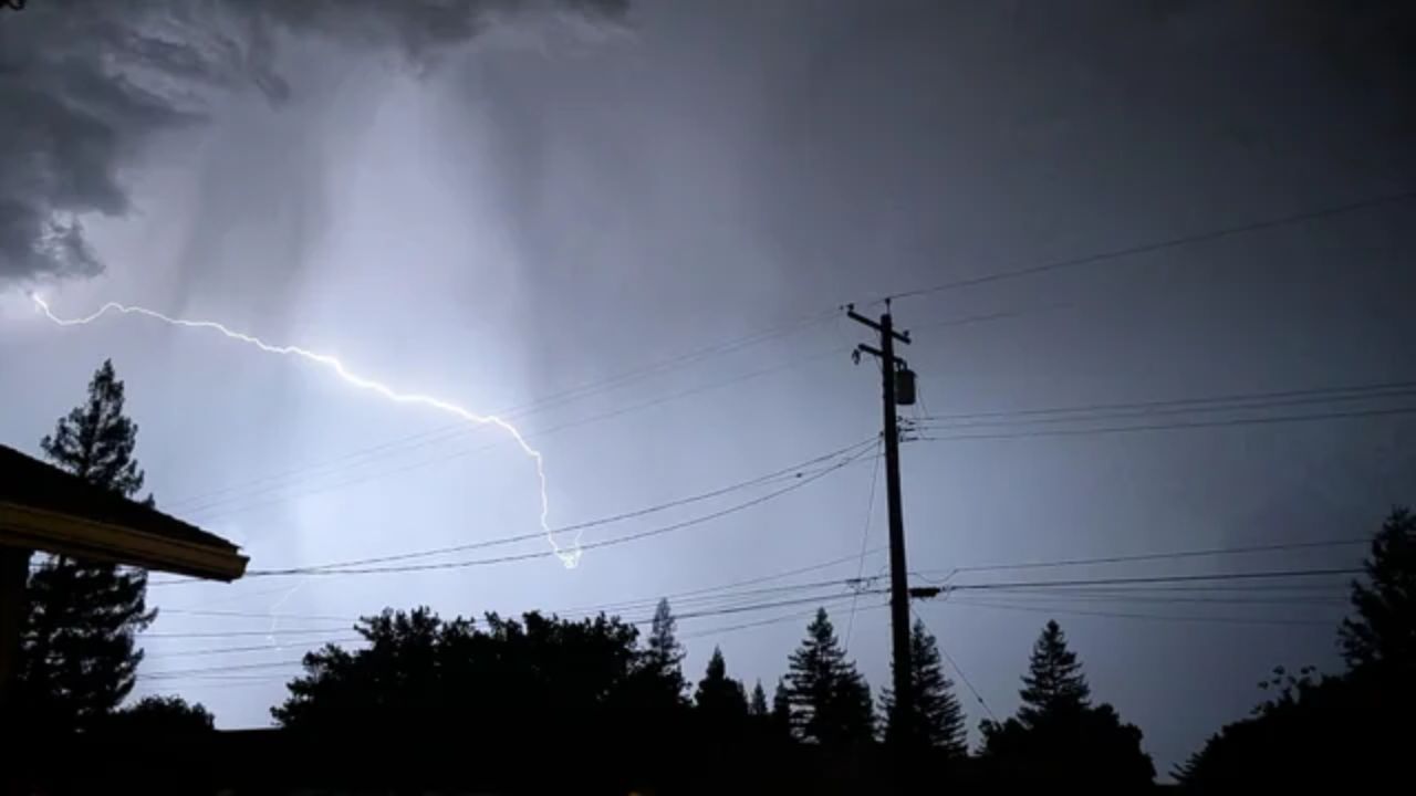
Forecasters warned that the storm was far from over. As temperatures fluctuated and atmospheric instability increased, additional showers were expected into the afternoon, along with the possibility of thunderstorms. These storms could bring brief but intense downpours, small hail, gusty winds, and even isolated funnel clouds.
Weather officials indicated that the highest likelihood of thunderstorms would fall between late morning and early evening, roughly from 10 a.m. to 8 p.m. While widespread severe weather was not expected, isolated pockets of stronger activity could develop quickly, especially in foothill and valley regions.
Sierra Faces Heavy Snow and Dangerous Travel
While the valley dealt with rain, conditions in the Sierra turned significantly more severe. A winter storm warning remained in effect through Wednesday evening, signaling dangerous snowfall and travel impacts across higher elevations.
Snowfall rates in the mountains were expected to reach up to 1 to 2 inches per hour at times, particularly through Tuesday night. Areas above 5,000 feet could see between 12 to 18 inches of snow, with the highest peaks potentially receiving up to 2 feet.
Even lower elevations were not spared. Snow accumulation of up to 2 inches was possible down to around 4,500 feet, increasing the risk of slick roads in areas that don’t typically see heavy snowfall this late in the season.
Travel conditions in the Sierra quickly deteriorated. Visibility dropped significantly in active snow bands, and officials warned of major delays along key mountain routes. Chain controls were enforced on Interstate 80 over Donner Summit, requiring vehicles to carry or install chains to continue safely.
Safety Concerns and Ongoing Monitoring
Authorities emphasized caution for both drivers and residents. Rapid weather changes, especially in mountainous terrain, can create dangerous conditions with little warning. Motorists were advised to check road conditions before traveling and avoid unnecessary trips through high-elevation areas.
Emergency and transportation officials continued to monitor the situation closely, particularly in flood-prone zones and heavily impacted mountain corridors.
As the storm system moves through Northern California, residents are being urged to stay updated on weather alerts and prepare for continued impacts into Wednesday, especially in the Sierra where snowfall is expected to persist.