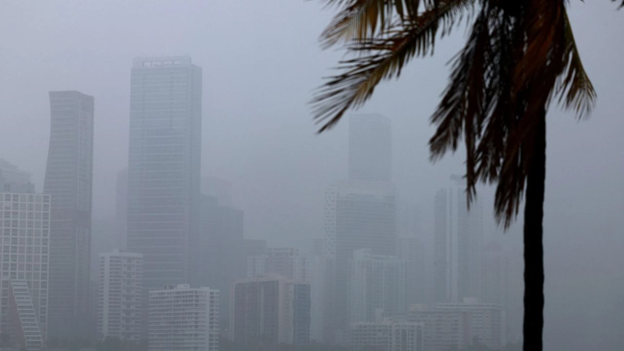
MIAMI, Florida — Before the ink dries on the official start of hurricane season, the Atlantic may already be stirring.
June 1 marks the beginning of the 2024 Atlantic hurricane season, and forecasters are keeping a close eye on what could develop within the very first two weeks.
That is earlier than most people expect.
Why Early June Is Usually Quiet — But Not Always
Historically, the Atlantic does not get busy right away. The first named storm does not typically form until around June 20, and this year’s El Niño conditions are expected to suppress development even further.
But “suppressed” does not mean impossible.
Forecasters are watching a specific setup taking shape over the Gulf and Caribbean that could change things quickly.
The Setup That Has Forecasters Watching
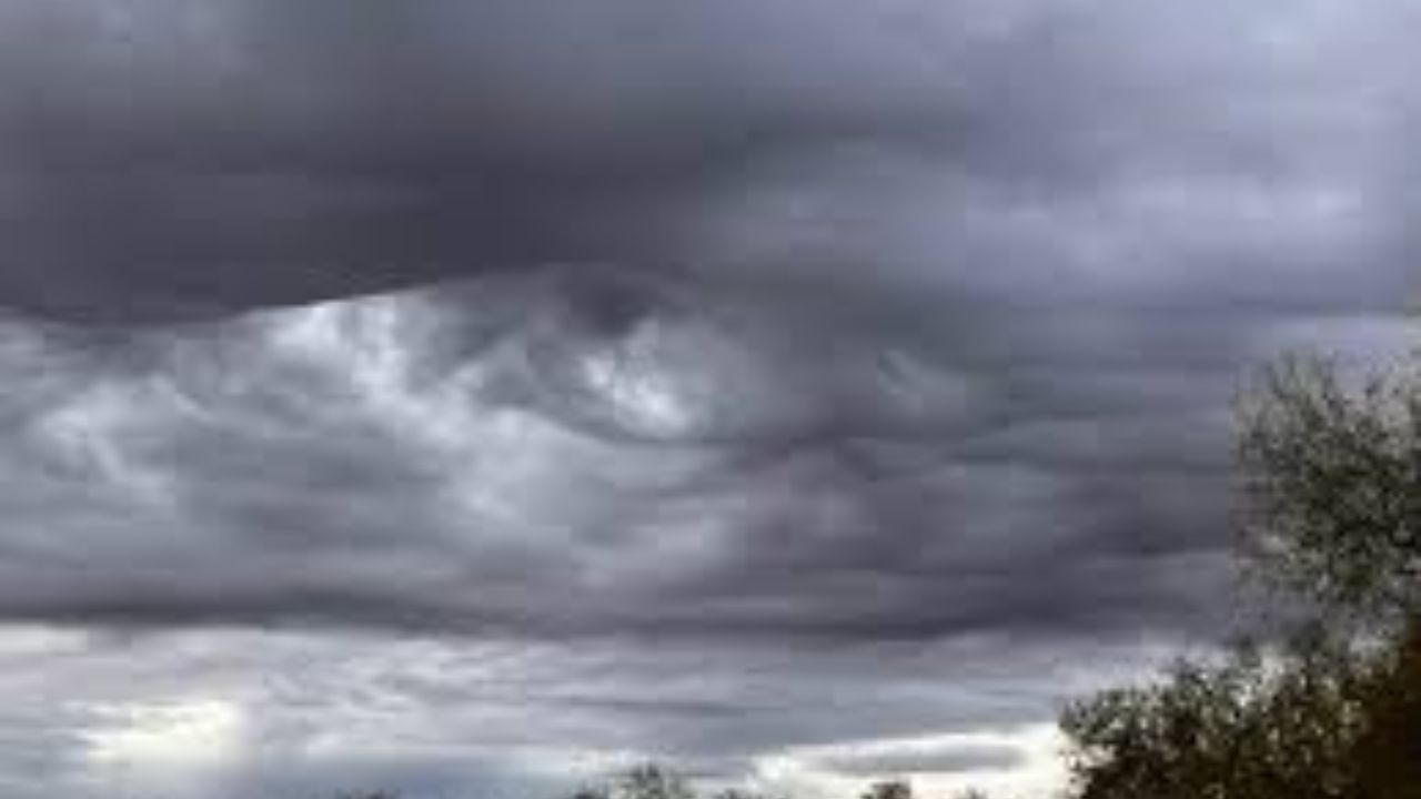
As June begins, a surge of tropical moisture is forecast to settle over the Gulf and Caribbean.
Normally, that moisture would drift northward and fizzle. But a strong area of high pressure is expected to act like a wall, trapping it in place.
With moisture locked in, the only missing ingredient is a trigger — something to set the atmosphere in motion.
That trigger may already be on the way.
A Stalled Front Could Be the Spark
A slow-moving weather front is forecast to stall over the region, igniting widespread thunderstorms and heavy rain across the Southeast.
Those storms could cause an area of low pressure to develop. And if that low picks up enough tropical characteristics, it could become a tropical depression — or even a named tropical storm.
The first named storm of the 2024 Atlantic season would be called Arthur.
A tropical depression is defined as a tropical cyclone with maximum sustained winds below 39 mph. Once one forms, the National Hurricane Center assigns it a number based on its order of formation in the season.
How Worried Should You Be?
Forecasters are stressing one key point: it remains very uncertain whether anything will actually develop.
Even if something does form, strong wind shear in the atmosphere is expected to keep any system disorganized and weak.
That means the biggest threat right now is not a powerful storm — it is heavy rain.
Forecasters note the Atlantic waters off the Southeast U.S. coast are slightly more favorable for tropical development than the Gulf at this point in the season.
One Silver Lining in All of This
Rain is going to fall across the Southeast whether a tropical system forms or not.
And honestly? That rain is badly needed.
The Southeast is currently dealing with one of the worst droughts on record. Whatever develops over the next two weeks, the rainfall that comes with it could offer some relief to a region that has been waiting a long time for it.
Stay tuned — the season has not even officially started, and it is already worth watching.
Are you in the Southeast and keeping an eye on the forecast? Tell us where you are and what conditions look like in your area — drop it in the comments below.