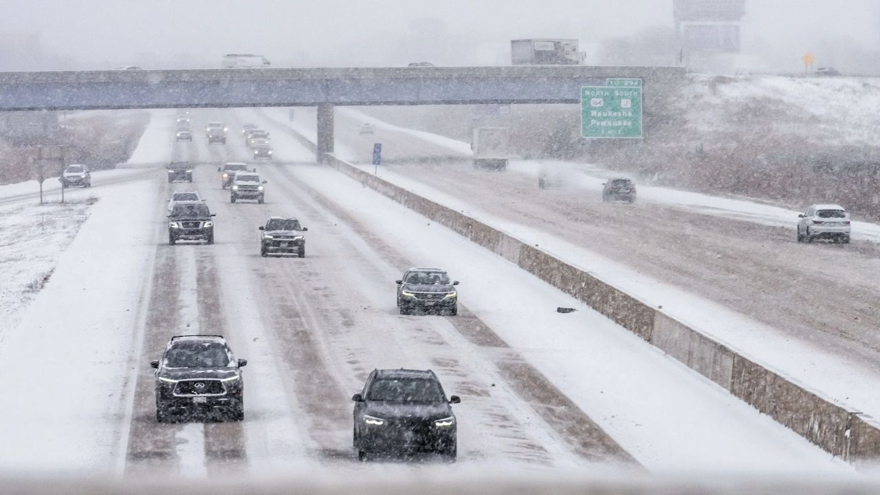
Chicago, Illinois – Severe weather is expected to hit the Chicago region Tuesday evening, with officials warning residents to prepare for dangerous conditions including possible tornadoes, large hail, damaging winds, and flash flooding. Weather alerts have already been issued across multiple counties as the storm system approaches.
Authorities confirmed that a tornado watch remains in effect for several Illinois counties, including Cook, DuPage, Kane, Lake, McHenry, and Winnebago, and has been extended until midnight. Nearby parts of Indiana, including La Porte County, are also under a tornado watch until early Wednesday morning. At the same time, a flood watch has been issued for a broader area, lasting until 6 a.m. Wednesday due to the risk of heavy rainfall and rapid water accumulation.
The developing storm system is expected to intensify between 6 p.m. and midnight, with meteorologists identifying this window as the most dangerous period. Areas south of Interstate 80 face an enhanced risk of severe weather, while Chicago and regions north of I-80 are under a moderate risk level, indicating a higher chance of significant storm activity.
Forecasters say storms could begin moving into parts of northern Illinois, including McHenry and DeKalb counties, shortly after 8:30 p.m. These storms are expected to be severe from the start, bringing the possibility of tornado formation along with strong winds capable of causing structural damage.
In addition to tornado threats, large hail is expected, particularly in areas north of I-90. Flash flooding is also a major concern as intense rainfall could overwhelm drainage systems and lead to water accumulation in low-lying areas.
The impact of the weather system is already being felt in transportation. A temporary ground stop was issued at O’Hare International Airport due to thunderstorms, causing delays and disruptions for travelers late Tuesday night.
Utility companies are also preparing for possible outages. Commonwealth Edison (ComEd) has deployed additional crews in anticipation of storm-related damage. Officials say teams are on standby and will work overnight if necessary to restore power quickly in affected areas.
Residents are being strongly advised to stay alert and monitor weather updates. If a tornado warning is issued, immediate action is critical. People should move to the lowest level of their home, preferably a basement. If a basement is not available, an interior room away from windows—such as a bathroom, closet, or hallway—is recommended.
Those caught outdoors should seek shelter in a sturdy building right away, as mobile homes, sheds, and temporary structures do not provide adequate protection. Drivers are urged to find the nearest safe shelter if possible. If no shelter is available, staying low in a vehicle or moving to a ditch or low-lying area may reduce risk.
Emergency preparedness officials also recommend keeping essential items nearby, including a flashlight, water, a fully charged phone, and a radio to stay updated on changing conditions.
A tornado warning indicates that a tornado has either been spotted or detected by radar and poses an immediate threat to life and property. In such cases, delaying action can be dangerous, and taking shelter right away is essential.
As the storm system moves through the region, authorities continue to monitor conditions closely. Residents across Chicago and surrounding areas are urged to remain cautious, limit travel if possible, and prioritize safety throughout the night.