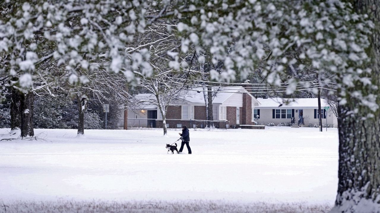
Charleston, South Carolina – A rare early-May cold spell is set to sweep across parts of the southeastern United States, bringing unusually low temperatures and travel disruptions from North Carolina to northern Georgia through May 6.
The shift in weather begins Thursday, April 30, as a strong mass of cold air moves down from the Great Lakes region and settles across the Carolinas. Forecasters from the National Weather Service say the system will stall near northern Georgia over the weekend, keeping temperatures well below seasonal averages for several days.
What’s Happening and Why It Matters
This cold push is expected to drop daytime temperatures 30% to 50% below normal. Cities like Raleigh, Charlotte, Columbia, and Charleston will see highs stuck in the mid-50s to low 60s—conditions more typical of early spring than May. Overnight temperatures could dip into the 40s, especially in inland areas.
The reason behind this unusual chill is a persistent cold air mass that is not moving quickly. Instead, it is settling and lingering across the region, preventing normal seasonal warming.
Travel Impact Across Major Highways
Morning commuters may face slower travel conditions, particularly along key routes such as I-95, I-26, and I-85. Light rain and damp road surfaces are expected from Wilmington down to Savannah, which could reduce visibility during peak hours.
In inland areas like Greensboro, Fayetteville, and Augusta, early-morning fog may develop where moisture remains, adding another layer of difficulty for drivers. While no major storms are expected, even light precipitation combined with cooler temperatures can create hazardous driving conditions.
Effects on Daily Life and Utilities
The colder weather may also lead to an unusual increase in heating use across homes and businesses. Early May typically brings warmer nights, but this sudden drop in temperature could push residents to rely on heating systems again.
Coastal regions, including areas from the Outer Banks to South Carolina’s shoreline, may also experience breezy conditions. This could affect bridge travel and marine activities, especially during early mornings and evenings.
How Long Will It Last?
The cold pattern is expected to remain in place through Tuesday, May 6. Gradual warming is likely after that, though exact timing will depend on how quickly the cold air mass weakens and moves out of the region.
For now, the core of the chill will stay concentrated across North Carolina, South Carolina, and northern Georgia, while areas farther south—like central and southern Florida—will largely avoid the impact.
Officials continue to monitor the situation and advise residents to stay updated on local forecasts, especially those planning early morning travel.