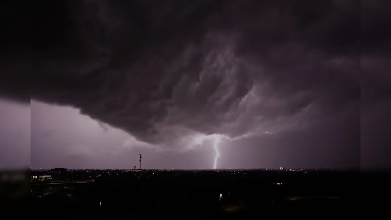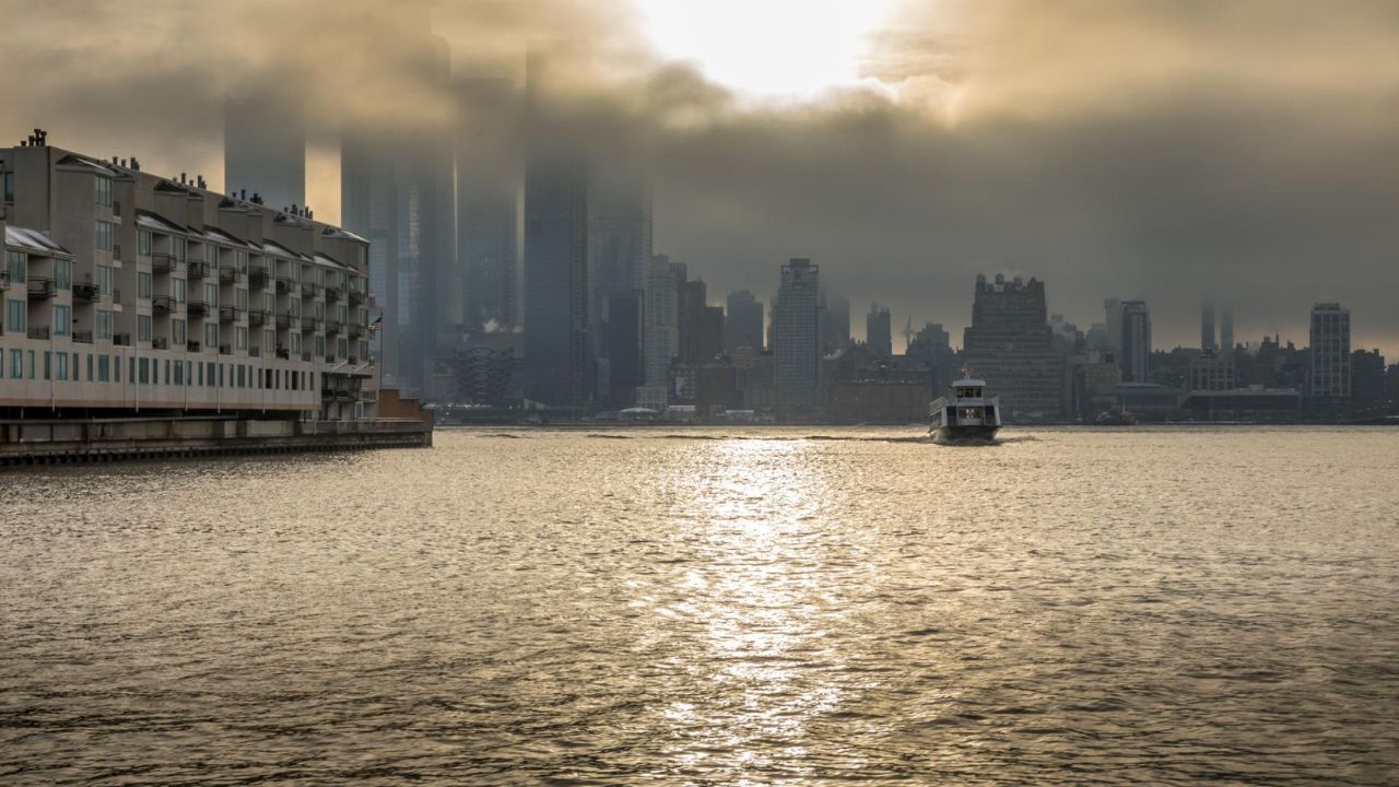
A noticeable shift in weather is underway across New York City as strong winds give way to a rapid warm-up that will push temperatures into the 80s by midweek. This afternoon, gusts between 20 and 30 mph are sweeping through the city, making conditions feel cooler than they actually are—but that won’t last long.
According to the National Weather Service, temperatures are expected to climb to around 78°F today, rising slightly to 79°F on Tuesday before peaking near 83°F on Wednesday. While the warmth may feel like a preview of summer, increasing humidity will bring a higher chance of rain.
Rain risks begin Tuesday night with a slight chance of showers, then increase through Wednesday. By Wednesday afternoon and evening, scattered showers could impact travel across major routes like I-95, FDR Drive, and the Brooklyn-Queens Expressway, potentially creating slick roads and slower commutes.
Overnight conditions will also turn milder, with temperatures staying in the mid-60s. The added moisture could lead to patchy drizzle before steadier rain develops later Wednesday.
By Thursday, the weather stabilizes slightly with highs returning to the upper 70s and some sunshine. However, occasional showers may linger into the weekend, keeping conditions somewhat unsettled.
Residents are advised to stay prepared for quick changes—carry an umbrella and plan extra travel time during peak hours.