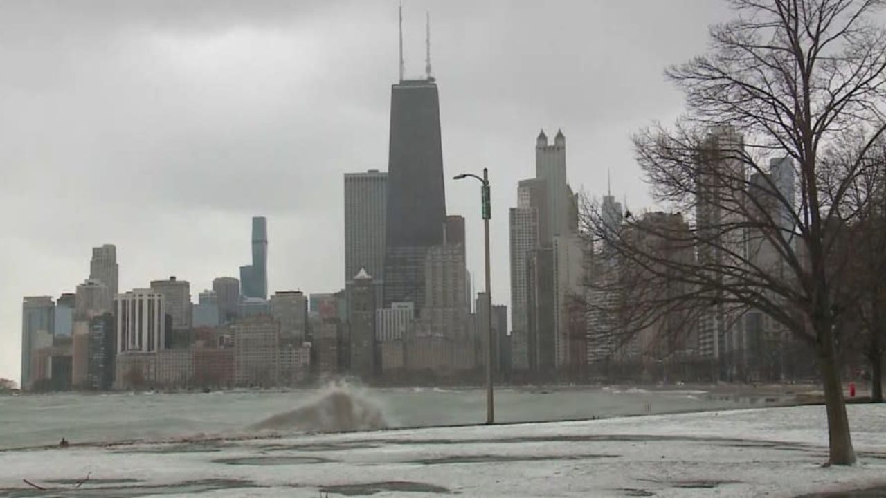
Multiple storm systems are rolling through western Washington — but forecasters say one window of relief is coming, and you’ll want to know exactly when.
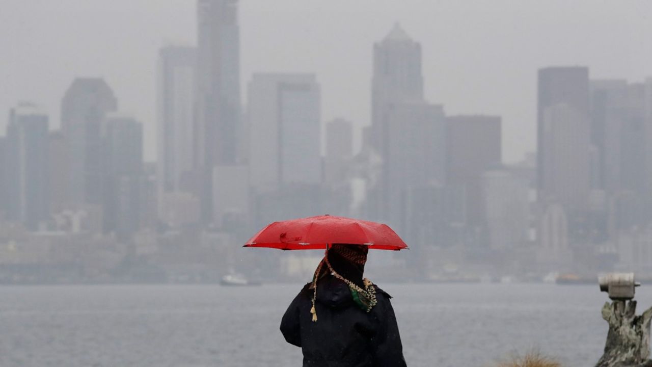
If you’ve been waiting for a break in the clouds, Seattle has one brief window this week — and it’s not today. A wet and unsettled weather pattern is keeping western Washington under multiple rounds of rain through Saturday, with only a short pause before the next system rolls in.
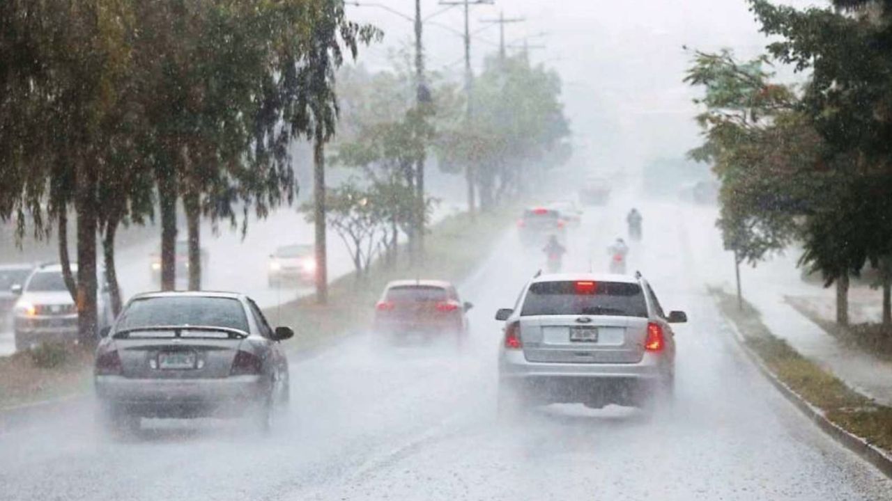
The National Weather Service says Wednesday will bring steady rain through much of the day, with highs reaching only around 62°F across downtown Seattle and King County. Wet roads and reduced visibility will likely slow morning and evening commutes.
Thursday offers the best — and possibly only — chance of partial sunshine this week, with temperatures holding near 62°F. But don’t put away the umbrella just yet: clouds and rain return Thursday night as another Pacific system pushes inland.
By Friday, rain returns and temperatures dip into the upper 50s. Saturday brings continued showers, and forecasters are also flagging the possibility of isolated thunderstorms during Saturday afternoon across parts of western Washington.
Driver alert: Wet roads, reduced visibility, and slower commutes are expected through Saturday. Allow extra travel time during heavier rain periods.
The pattern begins to ease Sunday as rain chances decrease and partial sunshine returns. Temperatures are forecast to rebound into the low-to-mid 60s heading into early next week.
7-Day Forecast
WednesdayRainHigh 62°F
Wed Night Slight chance of rain, mostly cloudyLow 50°F
Thursday Partly sunny High 62°F
Thu Night Chance of rainLow 48°F
Friday Rain likely High 57°F
Saturday Showers, possible thunderstorms High 57°F
Sunday Partly sunny High 60°F