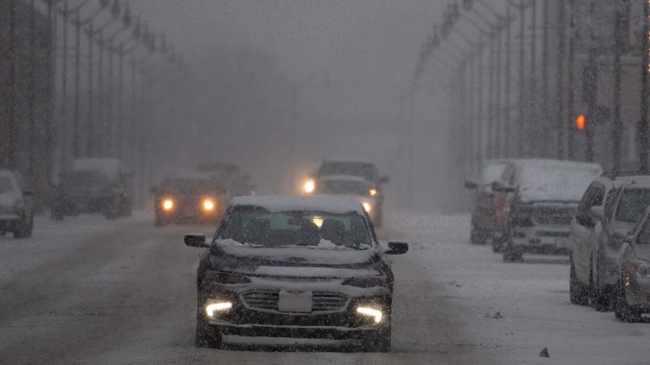
La Crosse, Wisconsin – Dense fog has settled over the Mississippi River valley this morning, reducing visibility and creating slick driving conditions across La Crosse and surrounding communities. Moist air clinging to cold pavement has led to patchy icing, especially on bridges and low-lying roads, before a wetter pattern arrives later today.
Dense Fog and Morning Travel Concerns
Early commuters are encountering gray haze along river crossings and rural routes. According to the National Weather Service in La Crosse, visibility may drop to around four miles or less at times, with temperatures hovering near 30 degrees. That combination allows fog and mist to freeze on untreated surfaces, increasing the risk of slick spots.
Bridges, overpasses, and shaded stretches of road are most vulnerable this morning. Drivers along Highway 35 and county roads near the river should be especially cautious, as conditions can change quickly from mile to mile.
Rain Arrives Later Today
As the day progresses, rain spreads into the area during the afternoon and evening. Highs climb into the low 40s, easing widespread icing concerns, but wet pavement will remain an issue for commuters heading home. Reduced traction and lingering fog pockets may still affect visibility, particularly during heavier rain.
Motorists are urged to slow down, increase following distance, and allow extra time for travel through the evening hours.
Tonight: Rain Changes to a Wintry Mix
Overnight, falling temperatures bring a transition from rain to a rain-and-snow mix. Lows dip near freezing, while winds turn north and increase slightly. Any leftover moisture on roads may refreeze late tonight or before daybreak, creating areas of black ice that are difficult to spot.
Friday: Colder but Calmer
Friday brings a quieter stretch of weather. Clouds thin at times, with highs near 37. Daytime temperatures should help improve road conditions, though shaded areas and untreated surfaces may remain slick. While the day feels relatively calm, forecasters note that another system is already lining up for the weekend.
Saturday Snow Brings the Biggest Impact
Saturday is shaping up to be the most impactful weather day of the period. Snow becomes likely, especially during the morning and midday hours. Current projections suggest 1 to 2 inches of accumulation around La Crosse, with brief reductions in visibility during steadier bursts.
Travel could slow quickly on bridges, hills, and secondary roads. Anyone with weekend plans should monitor updates and consider adjusting travel times.
Cold Sunday Follows
Snow chances linger into Saturday night, with lows near 17. Sunday turns sunnier but sharply colder, as highs struggle into the mid-20s. Wind chills may dip into the teens, reinforcing a true midwinter feel across the region.
Five-Day Outlook for La Crosse
- Today: Fog early, rain later, high near 43
- Friday: Mostly sunny, colder, high near 37
- Saturday: Snow likely, 1–2 inches possible, high near 29
- Sunday: Mostly sunny and cold, high near 26
- Monday: Mostly sunny, milder, high near 38
What to Watch
Slow down in fog this morning, stay alert for icy patches late tonight, and plan ahead for accumulating snow on Saturday. Conditions may shift quickly, especially near the river and on elevated roadways.
Are roads slick where you are right now? Share your experiences in the comments below.