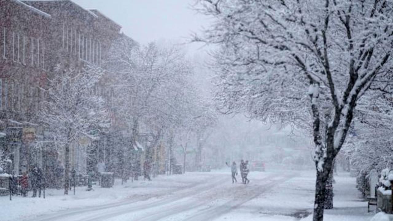
Kansas City, MO – A chilly start blankets western Missouri and eastern Kansas this morning as temperatures hover in the upper 30s across the Kansas City metro. Calm winds and pale winter sunshine create a crisp feel, while shaded sidewalks and overpasses still cling to leftover moisture from earlier melting.
Drivers should remain cautious during the early commute. Damp pavement along major routes such as I-70, I-35, U.S. 71, and I-435 could briefly turn slick in shaded stretches. While widespread ice is not expected, isolated spots may be slippery before temperatures climb later this morning.
Rapid Warm-Up Today
After the cold start, a noticeable warm-up unfolds through the afternoon. Clouds gradually decrease, allowing sunshine to take over. High temperatures are forecast to reach near 60 degrees, marking a significant jump from early morning readings in the upper 30s.
This kind of temperature swing reflects a classic late-winter thaw pattern. Sunshine combined with light winds will make the afternoon feel more like early spring than mid-February. Outdoor plans, errands, and school activities should proceed without weather disruptions once morning slick spots clear.
Friday Feels Like Spring
Friday brings even milder air into the region. Sunshine dominates much of the day, pushing highs to around 63 degrees. The warmer temperatures will feel closer to late March conditions.
It’s an ideal day for outdoor lunches, walks, or evening events. Winds remain manageable, and no precipitation is expected during daylight hours. However, subtle changes begin developing overnight.
Rain Returns Friday Night
Cloud cover increases late Friday night, and a slight chance of rain develops after midnight. Overnight lows settle near 45 degrees. By early Saturday morning, roads may become wet across the metro area, particularly during early travel hours.
While rainfall Friday night is expected to be light, commuters should allow extra time if roads are slick at sunrise.
Steady Showers Saturday
Saturday shifts into a wetter pattern. Rain becomes more widespread with an 80 percent chance of steady showers throughout the day. High temperatures cool slightly to near 54 degrees.
Rainfall totals could range between one-half and three-quarters of an inch. Ponding on roadways is possible, especially on heavily traveled highways and low-lying areas. Slower traffic conditions are likely during periods of heavier rain. Anyone with evening plans should anticipate wet conditions and plan accordingly.
Sunshine Returns Sunday
Rain gradually tapers off Saturday night. Sunday brings a return to sunshine and mild air, with highs near 60 degrees. The weekend closes on a comfortable note, offering a pleasant end after Saturday’s rain.
Warmer Pattern Ahead
The warming trend continues into early next week. Monday climbs toward 65 degrees under partly sunny skies. By Tuesday, highs approach 70 degrees with mostly cloudy conditions.
The extended outlook favors above-normal temperatures across Missouri and Kansas through midweek, with periodic rain chances but no signs of a significant cold outbreak. The pattern suggests a continued transition toward springlike conditions across the region.
Five-Day Outlook – Kansas City, MO
Friday: Mostly sunny, high 63
Saturday: Rain likely, high 54
Sunday: Sunny, high 60
Monday: Partly sunny, high 65
Tuesday: Mostly cloudy, high 70
Residents should enjoy the brief stretch of warm, dry weather before weekend showers move in, and stay alert to changing road conditions during early morning hours.