
Memphis, Tennessee — A sudden shift in weather is set to bring an unseasonably cold stretch across the Mid-South, with temperatures expected to fall well below normal levels starting April 30 and lasting through May 6. The change is likely to affect daily routines, travel conditions, and even energy usage across the region.
According to the National Weather Service, a cold air mass moving south from the Midwest will settle over parts of Tennessee, Arkansas, Kentucky, and northern Mississippi. This system is expected to hold daytime temperatures in the mid-50s to low 60s—significantly cooler than typical early May conditions.
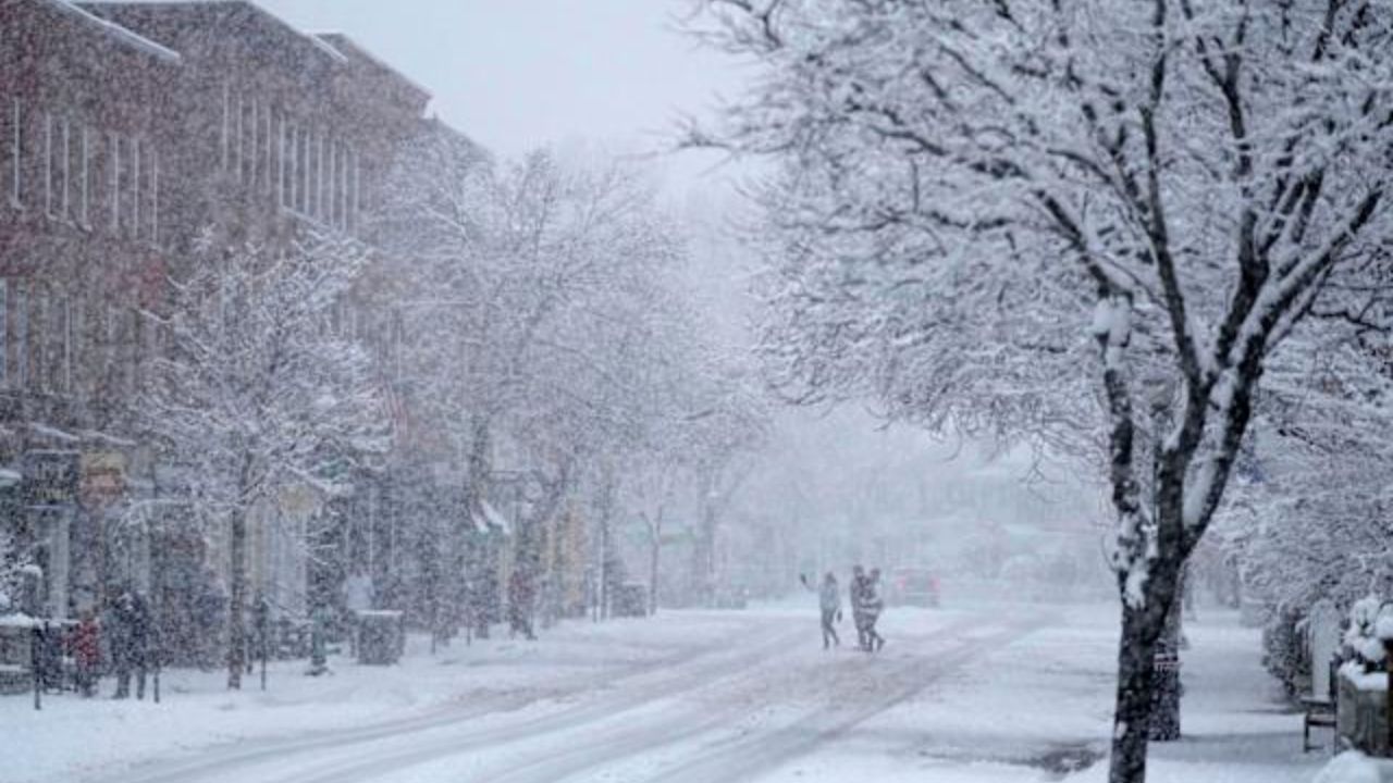
Cities including Memphis, Nashville, Little Rock, and Louisville will experience chilly days, while overnight lows are forecast to dip into the upper 30s and low 40s. In rural and low-lying areas, temperatures could fall even further, raising concerns about patchy frost.
The cooler conditions are expected to impact early morning travel, especially along major highways such as I-40, I-55, and I-65. Light rain combined with damp roads may reduce visibility and slow down commuters during peak hours. Drivers are advised to allow extra time and remain cautious during early morning travel.
Beyond travel, the temperature drop may also affect agriculture. Farmers and gardeners in western Tennessee, northern Mississippi, and eastern Arkansas could see minor impacts on early crops and sensitive plants due to potential frost in sheltered areas.
Another noticeable effect will be increased energy demand. With temperatures dropping overnight, many households may turn back to heating systems—something uncommon for early May. Utilities across the region could see a temporary rise in usage, particularly during pre-dawn hours when temperatures are at their lowest.
While the cold spell is expected to persist through May 6, forecasters indicate that gradual warming may follow. However, officials continue to monitor the situation, as slight changes in the system’s path could influence how far south the colder air extends and whether frost risks increase further.
Residents are encouraged to stay updated with local forecasts and take simple precautions, especially during early mornings and late nights when the chill will be most noticeable.


