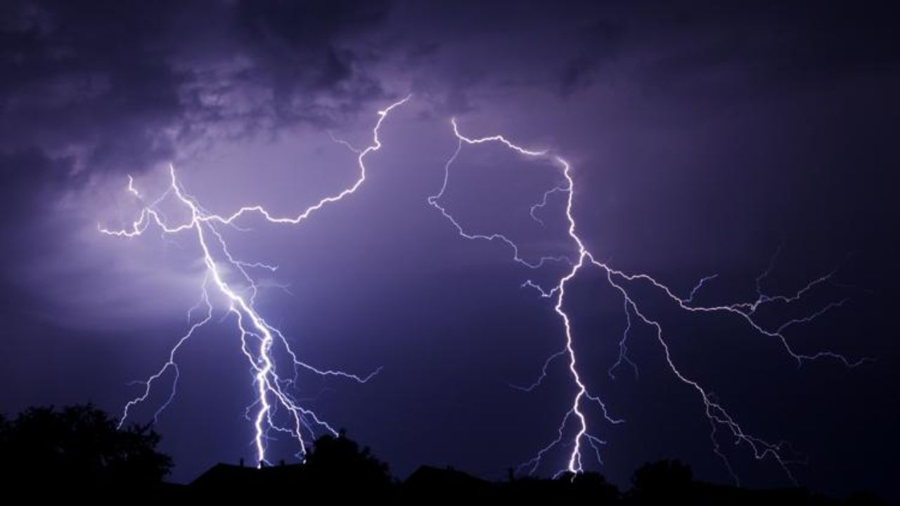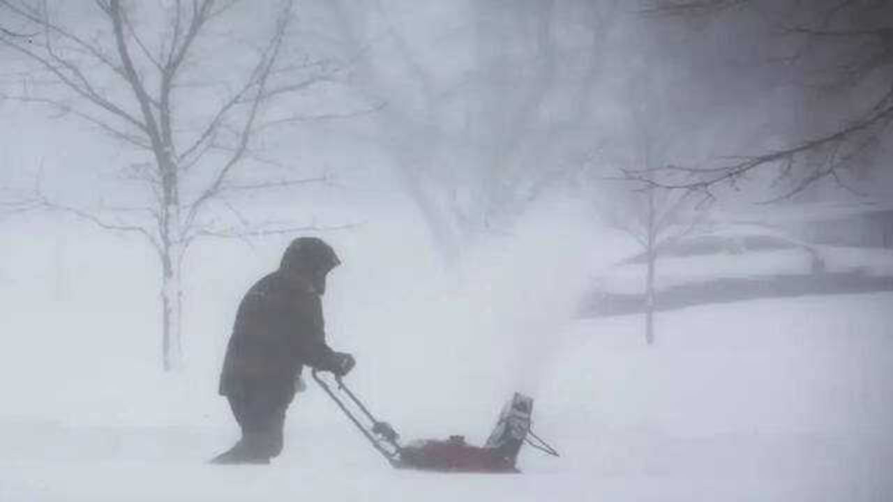
Minneapolis, Minnesota – A sudden return to winter-like conditions is set to impact the Upper Midwest starting April 30, bringing an extended stretch of unusually cold temperatures that could disrupt daily routines, travel, and farming activities across multiple states.
According to the National Weather Service, a strong cold air mass is moving into the region, pushing temperatures far below what’s typical for this time of year. Cities including Minneapolis, St. Paul, Fargo, Sioux Falls, and Milwaukee are expected to see daytime highs stuck in the low to mid-40s, while nighttime temperatures could drop into the upper 20s and low 30s.
What’s Happening and Why It Matters
This isn’t just a brief cold snap. The system is expected to linger through May 6, making it one of the more prolonged early-May cold stretches in recent years. For many residents, it may feel more like late winter than spring.
Meteorologists explain that the cold air mass has settled firmly over the northern Plains and Midwest, preventing warmer air from moving in. As a result, temperatures could remain significantly below seasonal averages for nearly a week.
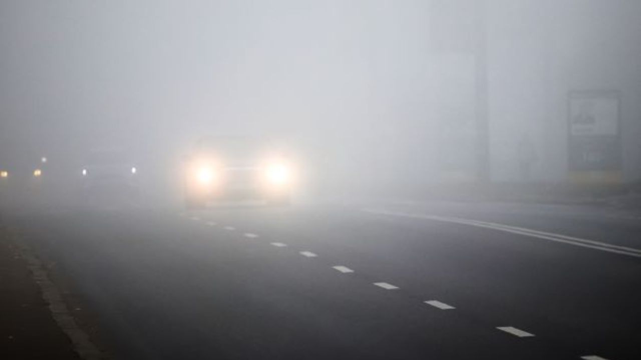
Travel Could Get Risky During Mornings
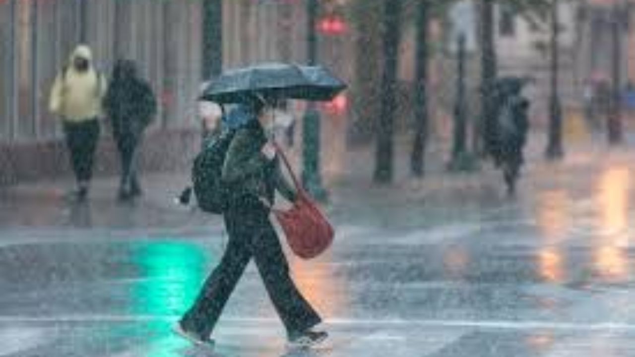
While heavy precipitation isn’t expected, early morning travel could still become challenging. Light rain or drizzle, combined with cold temperatures, may lead to slick roads and reduced visibility.
Key routes like I-94, I-35, and I-90 could see slower traffic, especially during peak commute hours. Drivers, particularly those in open areas, should also be cautious of gusty winds that may impact vehicle stability.
Farmers and Gardeners on Alert
The biggest concern may be for agriculture. Several nights of near-freezing or freezing temperatures could damage early crops and newly planted vegetation across Minnesota, the Dakotas, and parts of Wisconsin.
Farmers are being advised to take protective measures, while homeowners are encouraged to cover sensitive plants or bring them indoors where possible.
Increased Energy Demand Expected
With temperatures dropping well below normal, heating systems are likely to run longer, especially overnight and in the early morning. This could lead to a noticeable increase in energy usage across the region.
What to Expect Next
Forecasters say the cold pattern will likely hold through May 6, with only gradual warming expected afterward. While conditions should slowly improve, residents are advised to stay prepared for continued chilly mornings and potential frost.
Officials continue to monitor the situation, and updates may follow if conditions shift or new risks emerge.