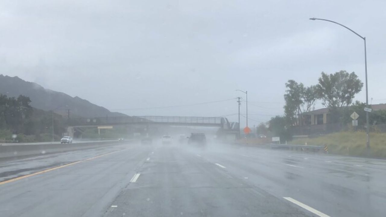
Las Vegas, Nevada — Strong northwest winds are sweeping across the Las Vegas Valley this morning, rattling windows, bending palm trees, and kicking up dust in exposed areas. Conditions are deteriorating quickly as the desert wind event intensifies, creating hazardous travel and outdoor conditions across the region.
Wind Advisory Issued for Southern Nevada
The National Weather Service has issued a Wind Advisory for the Las Vegas area that remains in effect through late tonight. Northwest winds are increasing steadily through the morning hours, with sustained speeds of 20 to 30 mph. Forecasters warn that gusts could reach up to 50 mph, particularly near Red Rock Canyon, the Spring Mountains, and open desert corridors surrounding the valley.
These stronger gusts are capable of lifting loose dust and debris, reducing visibility and creating sudden hazards for drivers and pedestrians.
Peak Travel Impacts Expected This Afternoon
Travel conditions are expected to worsen from late morning through the afternoon, when winds reach their strongest levels. High-profile vehicles, including semi-trucks, RVs, and trailers, face the greatest risk on major roadways such as I-15, US-95, and I-215.
Crosswinds may push vehicles unexpectedly, especially in open stretches of roadway. Blowing dust could briefly reduce visibility, particularly along the western and northern edges of the Las Vegas Valley, where desert terrain allows winds to accelerate.
Drivers are urged to reduce speed, allow extra following distance, and remain alert for sudden changes in visibility.
Outdoor Hazards and Possible Power Disruptions
By midday, conditions may become hazardous for unsecured outdoor items. Loose debris can become airborne, posing a risk to property and personal safety. Tree limbs may snap, and officials note that isolated power outages are possible if winds damage lines or equipment.
Residents should take time early today to:
- Secure patio furniture, trash bins, and lightweight decorations
- Avoid leaving objects loose on balconies or rooftops
If driving during peak wind periods, keep both hands firmly on the steering wheel and use extra caution when passing large vehicles.
Cooler Temperatures Add to the Chill
Despite abundant sunshine, temperatures will remain seasonably cool, with highs reaching the upper 50s this afternoon. The combination of dry air and strong winds will make it feel noticeably colder than the thermometer suggests.
Winds are expected to gradually ease after sunset, though breezy conditions may linger into the evening hours before finally diminishing overnight.
Calmer Weather Ahead for the Weekend
Relief is on the way. Friday brings calmer conditions, lighter winds, and clear skies across southern Nevada. Afternoon highs will settle into the mid-50s, offering a welcome break from today’s blustery weather.
Looking ahead, the weekend forecast turns brighter and warmer, with temperatures climbing toward 60 degrees by Sunday. Early next week continues dry, featuring gradually rising temperatures and calmer desert nights.
Stay Weather-Aware
Residents are encouraged to monitor local forecasts and advisories as conditions evolve throughout the day. Wind events like this can change quickly in the Mojave Desert, especially near open terrain and mountain passes.
If today’s winds affected your commute or neighborhood, share your experiences in the comments below to help others stay informed and prepared.