Hawaii is bracing for another round of heavy rain this week, marking the third major storm to impact the islands in just three weeks. With the ground already saturated from recent downpours, officials warn that flooding and mudslides could quickly become dangerous.
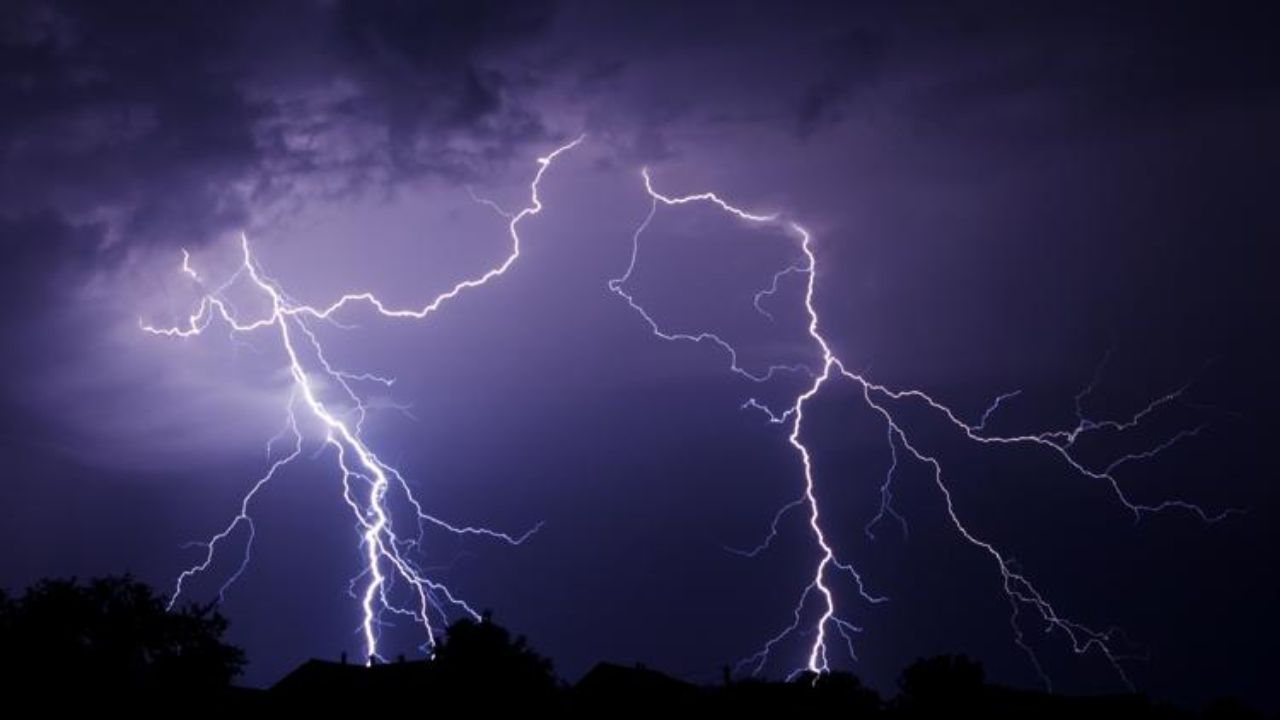
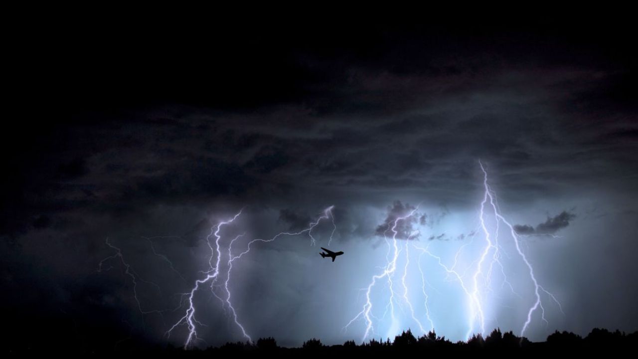
The incoming system is expected to develop west of the islands and slowly move eastward, pulling in deep tropical moisture. This will bring intense showers and thunderstorms, even to areas that are usually protected from heavy rain by steady trade winds.
Rain is expected to increase from Tuesday night through Thursday, with the most serious impacts likely beginning late Thursday into Friday. Forecasters say rainfall totals could rival the recent Kona storm from March 19–22, which dropped 3–4 inches in Honolulu. Earlier in the month, another storm delivered nearly 10 inches of rain, pushing totals far above normal levels.
Experts say the repeated storms have already caused significant damage across the state, with estimates reaching around $2 billion in losses due to flooding, evacuations, and infrastructure damage.
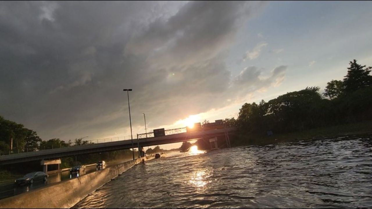
Because the ground remains soaked, even moderate rainfall could lead to rapid runoff. Streams and reservoirs may rise quickly, and there is growing concern about potential mudslides and pressure on levees in vulnerable areas.
While conditions may improve slightly toward the weekend, the overall weather pattern is expected to remain unusually wet. Residents are advised to stay alert, avoid flooded areas, and prepare for sudden changes in conditions as the storm moves through.