Chicago, Illinois – A wet and windy Saturday across the Chicago area is now setting the stage for a sharp overnight temperature drop, bringing a potential frost risk into early Monday morning.
Rain has been falling steadily through the day, leaving water pooling on roads and creating slow-moving traffic across parts of the city. Areas like downtown Chicago, Cicero, and Oak Park have reported slick streets and reduced visibility, especially along major routes such as I-90, I-94, and Lake Shore Drive. Gusty winds have only added to the challenge for drivers navigating already damp conditions.
According to the National Weather Service in Chicago, flood concerns remain in place in some locations as rivers continue to rise and drainage systems struggle to keep up with the earlier rounds of rain and thunderstorms. Low-lying roads, viaducts, and areas near creeks remain the most vulnerable.
As the evening progresses, conditions are expected to gradually improve. Rain will taper off, and cloud cover will begin to break, offering some relief after a gray and wet day. However, this improvement comes with a quick shift in temperatures.
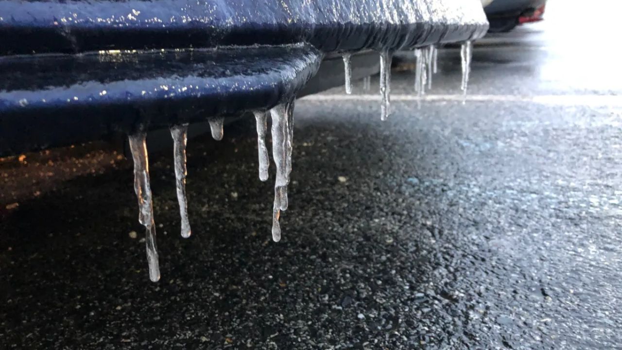
By late Sunday night into early Monday morning, temperatures are forecast to drop into the upper 30s, with some areas potentially reaching around 37°F. This opens the door for patchy frost, particularly in suburban and outlying areas west of the city where temperatures tend to fall more quickly.
This sudden transition from rain to cold creates a brief but important concern. Surfaces that remain wet overnight could develop isolated slick spots in colder pockets, especially during the early morning commute. While widespread freezing isn’t expected, localized frost could still impact roads, sidewalks, and vehicles left outside.
Sunday itself will feel noticeably cooler, with daytime highs struggling to reach the low 50s. A mix of clouds and sun is expected, along with a slight chance of lingering light showers.
The good news is that this cooler stretch won’t last long. By Monday afternoon, sunshine returns and temperatures begin to recover. A more noticeable warm-up follows quickly, with highs approaching the upper 60s by Tuesday under mostly clear skies.
5-Day Outlook for Chicago:
Saturday: Rain early, gradual clearing, high near 52°F
Sunday: Partly sunny, slight shower chance, high near 51°F
Monday: Early frost possible, then sunny, high near 53°F
Tuesday: Mostly sunny, warmer, high near 69°F
Wednesday: Mostly sunny, high near 68°F
Residents are advised to stay cautious through the transition—wet roads today could turn into slippery spots by early morning. Checking local updates and allowing extra travel time can help avoid unexpected delays as conditions shift.