Houston, Texas – A stormy Saturday is unfolding across the Houston area as fast-moving thunderstorms bring bursts of heavy rain, gusty winds, and dangerous driving conditions across major highways.
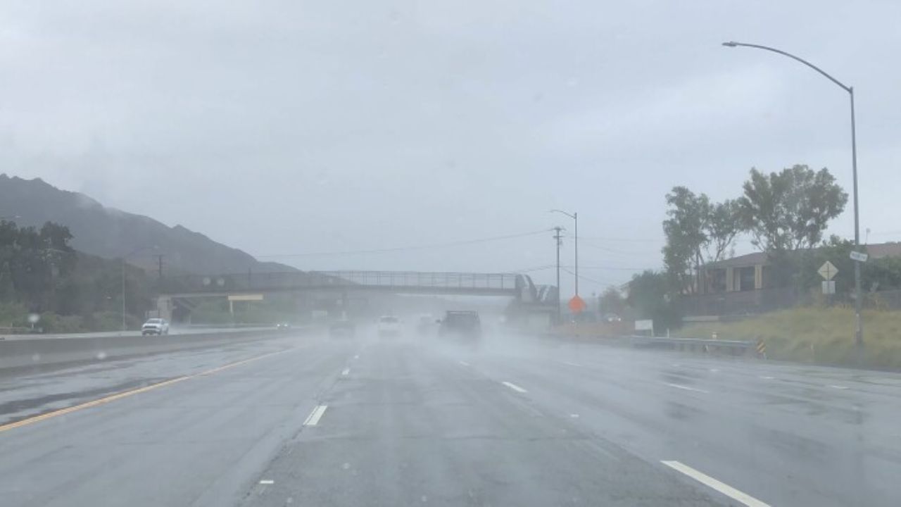
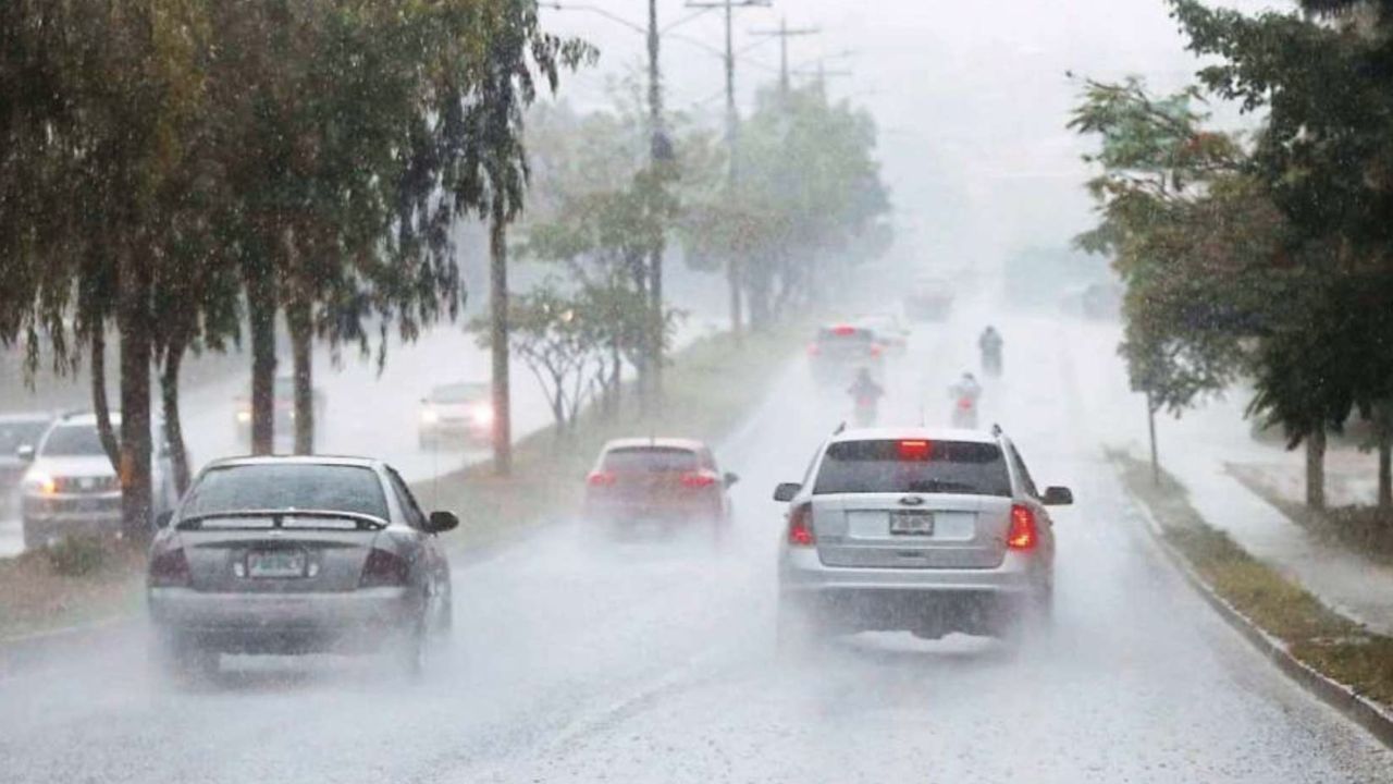
The unsettled weather began building earlier in the day, with dark clouds, rising humidity, and lightning visible across the skyline. By afternoon, conditions had intensified, especially along busy corridors like I-10, I-45, and the 610 Loop, where drivers are now dealing with reduced visibility and slick pavement.
According to the National Weather Service, rain chances have surged to around 90% across southeast Texas. Stronger storm cells are capable of producing wind gusts up to 30 mph along with brief but intense rainfall totals nearing 1 inch. Even short bursts of rain are enough to create standing water on roads, increasing the risk of hydroplaning and sudden slowdowns.
Areas including Houston, Pasadena, and Sugar Land are seeing the most impact this afternoon. Traffic conditions have become unpredictable, with sudden braking and congestion reported as storms move quickly across the region. Drivers are being urged to stay alert, reduce speed, and avoid low-lying underpasses where water can collect rapidly.
Emergency officials are also advising residents to keep their phones charged and limit non-essential travel during peak storm hours. While flooding is not expected to be widespread, localized ponding can still create hazardous situations in a matter of minutes.
Looking ahead, relief is on the horizon—but only briefly. Conditions are expected to improve by Sunday as the main line of storms shifts east. Skies will begin to clear, bringing partly sunny conditions, lower humidity, and a more comfortable high near 71°F.
However, the calmer weather won’t last long. Moisture is forecast to return late Monday, bringing another round of scattered storms into early Tuesday. While these storms may be less widespread, isolated downpours and lightning could once again affect travel, especially during commute hours.
Temperatures are expected to remain steady in the low 70s through early week before gradually warming into the upper 70s by midweek, signaling a return to a more typical spring pattern for southeast Texas.
For now, the focus remains on navigating today’s storms safely, as changing conditions continue to challenge drivers across Houston’s busiest roads.