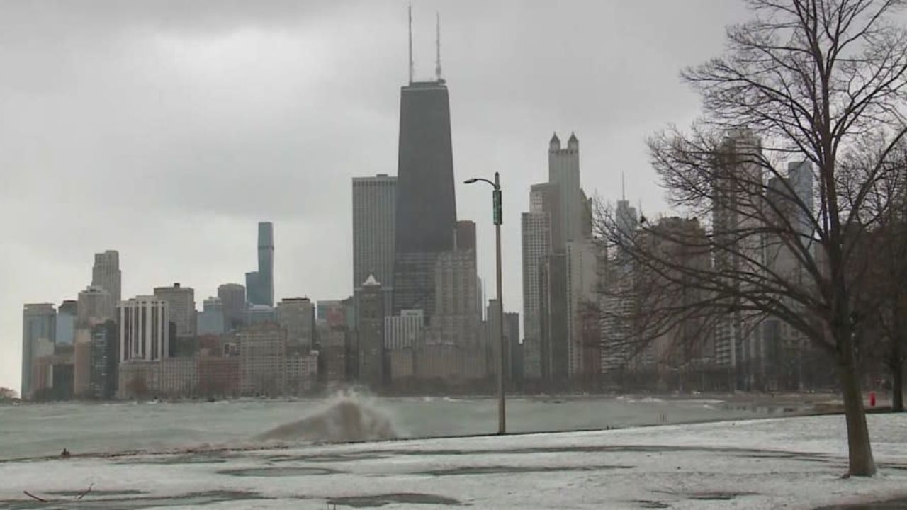
Buffalo’s quiet Monday is about to end. A wet and cooler week is moving in fast — and it starts during Tuesday’s morning rush hour.
What’s Coming
The National Weather Service in Buffalo has confirmed that showers will redevelop by early Tuesday morning and continue off and on through Friday. This is not a one-day event — residents should prepare for nearly a full week of unsettled weather.
How Cold Will It Get?
Temperatures will drop significantly throughout the week:
- Monday: Upper 60s (last mild day)
- Tuesday–Wednesday: Drop into the 50s
- Thursday–Friday: Fall to upper 40s — nearly 10 degrees below normal for this time of year
Which Areas Are Affected?
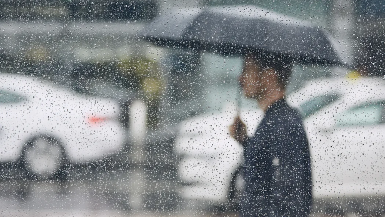
Buffalo, Niagara Falls, Jamestown, and Rochester will all see repeated rounds of light to moderate rainfall, especially during daytime hours Tuesday through Thursday.
Road Warning
Major roads including I-90 and Route 33 may become slick during peak travel times. Ponding on roads is possible during heavier rain bursts — allow extra travel time and drive carefully.
Overnight Lows
Nights will also turn cold, with lows dropping into the low 40s and even upper 30s in inland areas by mid to late week. The damp air will make it feel even colder.
For the complete hour-by-hour forecast, safest travel windows, and full list of affected roads — read the full story at thecmeaglet.com