The National Weather Service has issued a hazardous weather alert for the greater Baltimore and Washington DC region, warning residents that conditions will turn dangerous this evening between 5 PM and 10 PM EST. If you do not have to be on the road tonight — stay home.
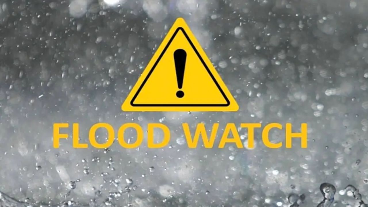
Hazardous weather alert: 5 PM – 10 PM EST tonight. High winds, heavy rain, flash flooding, and tidal flooding expected across Baltimore, Washington DC, Annapolis MD, and Alexandria VA.
A strong frontal system is moving into the region this afternoon and will pass through by late evening. The NWS warns this will bring a several-hour window of heavy, intense rainfall between 6 PM and 10 PM. Soils are already saturated from recent rain, making flash flooding of small streams and creeks a serious and immediate threat.
Wind danger: Easterly winds will gust up to 50 MPH across the region. Near the Chesapeake Bay, gusts of 60 to 70 MPH are possible — strong enough to down trees and powerlines. Do not park under trees tonight.
Nighttime conditions make this storm especially dangerous. Flooded roads are hard to spot in the dark, and the NWS specifically warns that drivers may not be able to identify water hazards due to reduced visibility from heavy rain. Their message is clear: do not attempt to drive across flooded roadways.
Tidal flooding: Residents along the tidal Potomac River and the western shore of the Chesapeake Bay — especially Baltimore, Annapolis MD, and Alexandria VA — should prepare for moderate-to-major tidal flooding. The combination of heavy rain and 50–60 MPH onshore winds will push water levels significantly higher than normal.
Conditions are expected to improve after midnight as winds decrease and the frontal system passes. But the hours between 5 and 10 PM tonight are when the greatest risk exists. Stay weather-aware, check on elderly neighbors, and keep emergency supplies on hand in case of power outages.