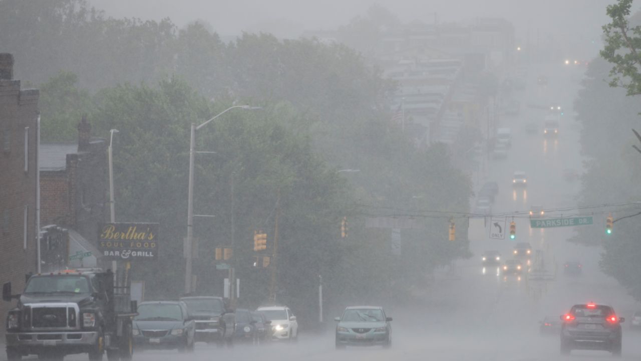
Maryland — A stretch of gloomy weather is returning across the state, and it could affect daily routines on Wednesday as rain and storms move through the region. Weather officials have flagged the day as an Alert Weather Day, warning residents to stay prepared for changing conditions, especially during the afternoon and evening hours.
The shift begins overnight, with temperatures gradually dropping into the upper 40s and 50s. While some brief clearing is expected late at night, clouds will quickly build again by Wednesday morning. Early risers could encounter patchy drizzle or light rain, but the more impactful weather is expected later in the day.
Afternoon and Evening Could Bring the Most Impact
By mid-morning, a few isolated showers or storms may begin to develop, particularly west of the Baltimore metro area. As the day progresses, the system is expected to strengthen and move toward the Chesapeake Bay region during the early to mid-afternoon hours.
Forecasters warn that the strongest storms could bring heavy rain, gusty winds, and even small hail. While the overall severe weather risk remains low, it is not zero. A Level 1 (marginal risk) has been issued, meaning a few storms could briefly intensify and cause localized disruptions.
Residents are advised to keep at least one reliable way to receive weather alerts, especially if commuting or traveling during peak evening hours when storms are most likely.
Rainfall totals are expected to average between 0.5 to 1 inch, though some areas could see higher amounts depending on storm intensity.
Evening Relief, But Cooler Days Ahead
Conditions are expected to improve gradually Wednesday evening as showers move out of the area. However, the cooler trend will stick around for the rest of the workweek.
Daytime temperatures will remain in the low to mid-60s, while overnight lows will dip into the 40s across much of Maryland. The cooler air may feel noticeable after recent milder conditions.
Looking ahead, there’s still a chance for additional scattered showers late Friday and into Saturday, keeping the weather pattern somewhat unsettled.
What This Means for You
If you have outdoor plans or an evening commute on Wednesday, it’s a good idea to plan ahead. Carrying rain gear, allowing extra travel time, and staying updated on local weather alerts can help avoid disruptions.
While this isn’t expected to be a major severe weather event, the timing and potential for heavier storms mean it’s worth staying cautious and informed.