MINNEAPOLIS, Minnesota — Monday will start calm, but do not let the dry daytime skies fool you.
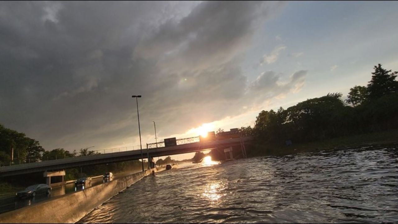
Another round of potentially severe storms is expected to move into Minnesota come nightfall — and forecasters say some of them could pack a serious punch.
The greatest risk will be in southeastern Minnesota, particularly near the Interstate 90 corridor. But residents in the Twin Cities metro should not assume they are in the clear.
Strong Winds Are the Biggest Concern Tonight
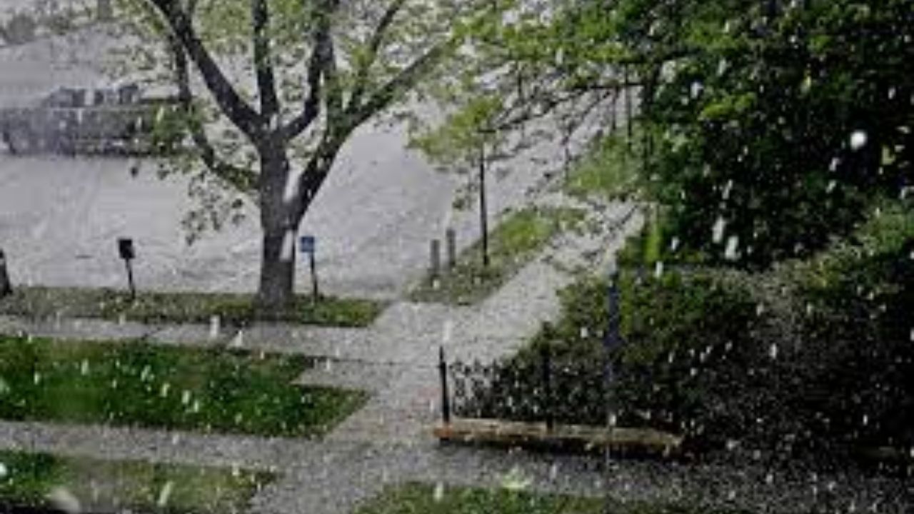
Out of all the threats that come with severe storms — hail, heavy rain, lightning — strong and damaging winds are the top concern with tonight’s system.
If these storms fire up as expected, wind gusts could be strong enough to down trees and power lines.
Southeastern Minnesota will be watching most closely, but the metro area remains in the zone of possible impact as storms push through after dark.
What to Expect Hour by Hour
During the day Monday, conditions will remain dry. Highs in the Twin Cities metro will climb into the high 60s — a pleasant enough afternoon before the evening takes a turn.
Storm chances increase significantly after sunset.
Rain could linger into Tuesday morning before finally clearing out. Once it does, noticeably cooler air moves in behind the system.
Temperatures are expected to run 10 to 15 degrees below average for the middle of the week. The good news is that each day after that will trend a little warmer.
Memorial Day Weekend Forecast
Planning ahead for the long weekend? Here is the early picture.
Memorial Day weekend is expected to begin with rain chances, so outdoor plans for Saturday could face some disruption. The outlook improves as the weekend goes on, with drier and more seasonal conditions likely by Sunday and Monday.
Keep an eye on updated forecasts as the holiday weekend gets closer.
Stay Prepared Tonight
With severe weather possible after dark, it is worth taking a few minutes now to prepare.
Charge your phone fully before tonight. Have a way to receive weather alerts — whether that is a weather app, local radio, or a NOAA weather radio. Know where you will shelter in your home if a warning is issued for your area.
If you are in southeastern Minnesota near the I-90 corridor, pay close attention to conditions this evening. Storms can move fast after dark and warnings can come with little lead time.
Stay weather-aware tonight, Minnesota — and share this with a neighbor who might not have heard the forecast yet.
Did your area get hit by tonight’s storms? Let us know in the comments what conditions were like where you live.