
Los Angeles, California – A wetter-than-usual weather pattern is set to impact much of California from April 30 through May 6, bringing multiple rounds of rain and raising concerns about slower travel and hazardous road conditions across key routes statewide.
According to the National Weather Service, a series of Pacific storm systems will move inland over several days, increasing precipitation chances above seasonal averages. This prolonged pattern is expected to affect both Northern and Southern California, though impacts will vary by region.
In Northern and Central California, including cities like Sacramento, Redding, and the San Francisco Bay Area, residents can expect steady and repeated rainfall. These systems may not always be intense, but their frequency could lead to cumulative effects such as water buildup and reduced road safety over time.
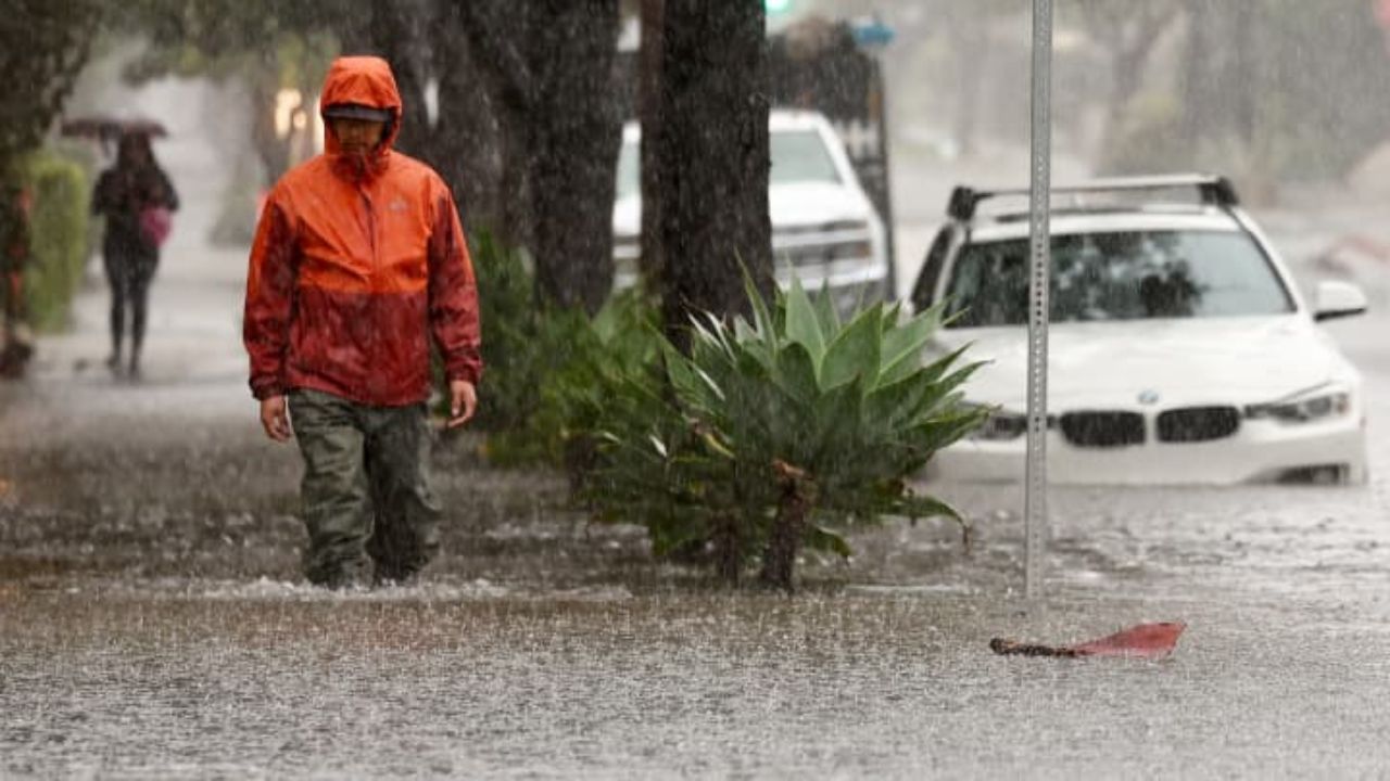
Southern California, including Los Angeles, will likely experience lighter rainfall overall, but with more frequent showers spread across multiple days. Even moderate rain in urban areas can create slippery roads, reduced visibility, and minor flooding where drainage systems are overwhelmed.
Travel disruptions are expected across major highways. Key corridors such as Interstate 5 through the Central Valley, Highway 101 along the coast, and Interstate 80 through higher elevations could see periodic slowdowns. Wet pavement, sudden rain bursts, and visibility issues during peak commuting hours may increase the risk of delays and minor accidents.
In the Sierra Nevada region, conditions could become more challenging. Higher elevations are expected to receive consistent precipitation, making routes like I-80 near Donner Pass and Highway 50 particularly slick. Early mornings and late evenings may bring the most hazardous driving conditions due to temperature drops and reduced visibility.
The Central Valley may also face localized water accumulation, especially in low-lying or poorly drained areas. With rainfall occurring over consecutive days, even moderate precipitation could lead to standing water on roads and agricultural land.
Authorities are advising drivers to remain cautious throughout this period. Allowing extra travel time, maintaining safe distances, and avoiding flooded roadways will be important steps to reduce risk. Checking vehicle readiness, including tires and brakes, is also recommended before heading out in wet conditions.
This unsettled weather pattern is expected to continue through May 6, with additional storm systems possible. While forecasts may shift slightly in timing or intensity, the overall risk of travel disruption and wet conditions is expected to remain elevated across California during this period.


