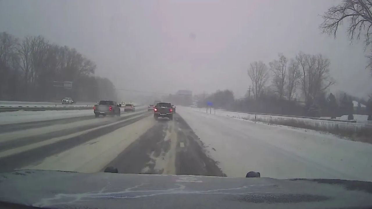
Buffalo, New York – Drivers across western New York should prepare for slick and potentially hazardous travel conditions late tonight into early Wednesday as a passing cold front causes rain to mix with and change to snow. While snowfall totals are expected to remain light for most locations, untreated roads, bridges, and overpasses could become slippery during the overnight hours and early morning commute.
Rain Changing to Snow Overnight
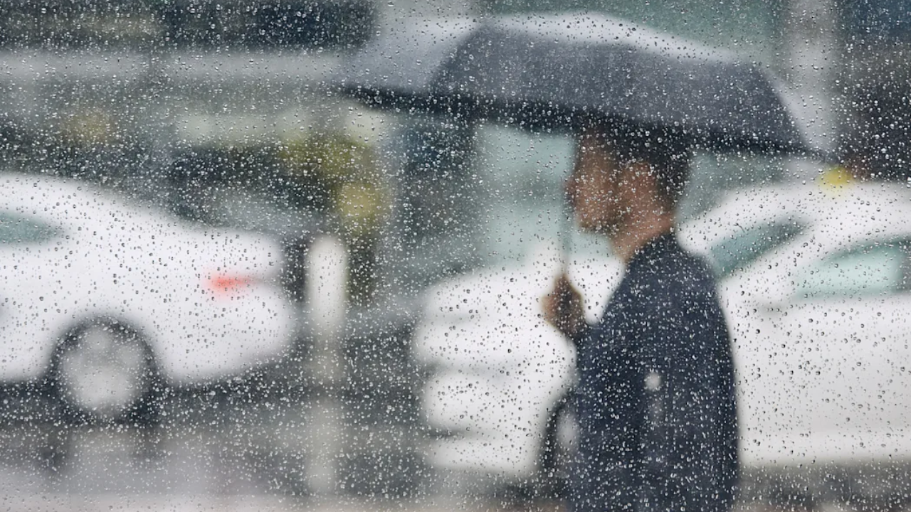
According to the National Weather Service Buffalo, a surge of colder air moving in from the west will gradually shift precipitation types overnight. Rain will first transition to a wintry mix, then to light snow, particularly as temperatures fall toward the freezing mark.
Forecasters indicate that areas east of Lake Ontario will see the most persistent precipitation overnight. In these locations, light snow and minor ice accumulation may continue through the night and into early Wednesday, while western areas begin to see improving conditions closer to daybreak.
Travel Impacts Expected Late Tonight
As temperatures dip, even a thin coating of snow or ice could lead to slick travel, especially on elevated and untreated surfaces. Bridges, overpasses, and secondary roads are most vulnerable to freezing as colder air settles in behind the cold front.
Communities such as Buffalo, Rochester, Batavia, and Jamestown may experience brief bursts of snow overnight. While accumulations in these areas are expected to remain minimal, sudden reductions in traction could catch drivers off guard, particularly during the early morning commute.
Farther north and east, including Watertown and the Tug Hill region, forecasters warn of a higher likelihood of steadier light snow, which could lead to more consistent slick conditions through Wednesday morning.
Lake-Enhanced Snow a Factor
The colder air moving across the relatively warm waters of Lake Ontario may enhance snowfall rates in localized areas. While widespread heavy snow is not anticipated, lake-enhanced bands could briefly increase snowfall intensity east of the lake, reducing visibility and creating patchy icy roads.
Meteorologists stress that even light lake-enhanced snow can create uneven travel conditions, where roads may rapidly shift from wet to snow-covered over short distances.
Wednesday Outlook: Gradual Improvement
By Wednesday, temperatures remain on the cooler side, and lingering rain and snow showers are expected, mainly east of Lake Ontario. According to forecasters, precipitation coverage will diminish from west to east throughout the day as the system moves out of the region.
Western New York locations, including the Buffalo metro area, should see gradually improving travel conditions by midday, while eastern zones may contend with intermittent light snow for a longer period.
Safety Tips for Drivers
With overnight and early-morning travel impacted, motorists are encouraged to take precautions:
- Reduce speed and increase following distance
- Use extra caution on bridges and overpasses
- Allow additional time for the morning commute
- Be alert for rapidly changing conditions in lake-effect prone areas
Officials remind drivers that even light snow or freezing drizzle can significantly reduce traction, especially during the first few hours after temperatures drop below freezing.
Additional Updates Possible
Forecasters note that if temperatures fall more quickly than expected, slightly higher accumulations could develop in localized areas. Additional weather statements or advisories may be issued if conditions warrant.
Drivers and residents are encouraged to stay informed through official weather updates and local alerts as conditions evolve overnight and into Wednesday.
Conclusion
While this system is not expected to bring significant snowfall, slick roads remain a concern across western New York, particularly late tonight and early Wednesday. Caution, reduced speeds, and extra travel time can help minimize risks as rain gives way to snow behind the cold front.
Share your experiences in the comments below.