Fort Wayne, IN – Flood concerns remain active across Northern Indiana as water levels stay elevated along key rivers, creating ongoing risks for nearby communities. Authorities are urging residents to stay cautious as additional rainfall and storms are expected to move into the region over the next few days.
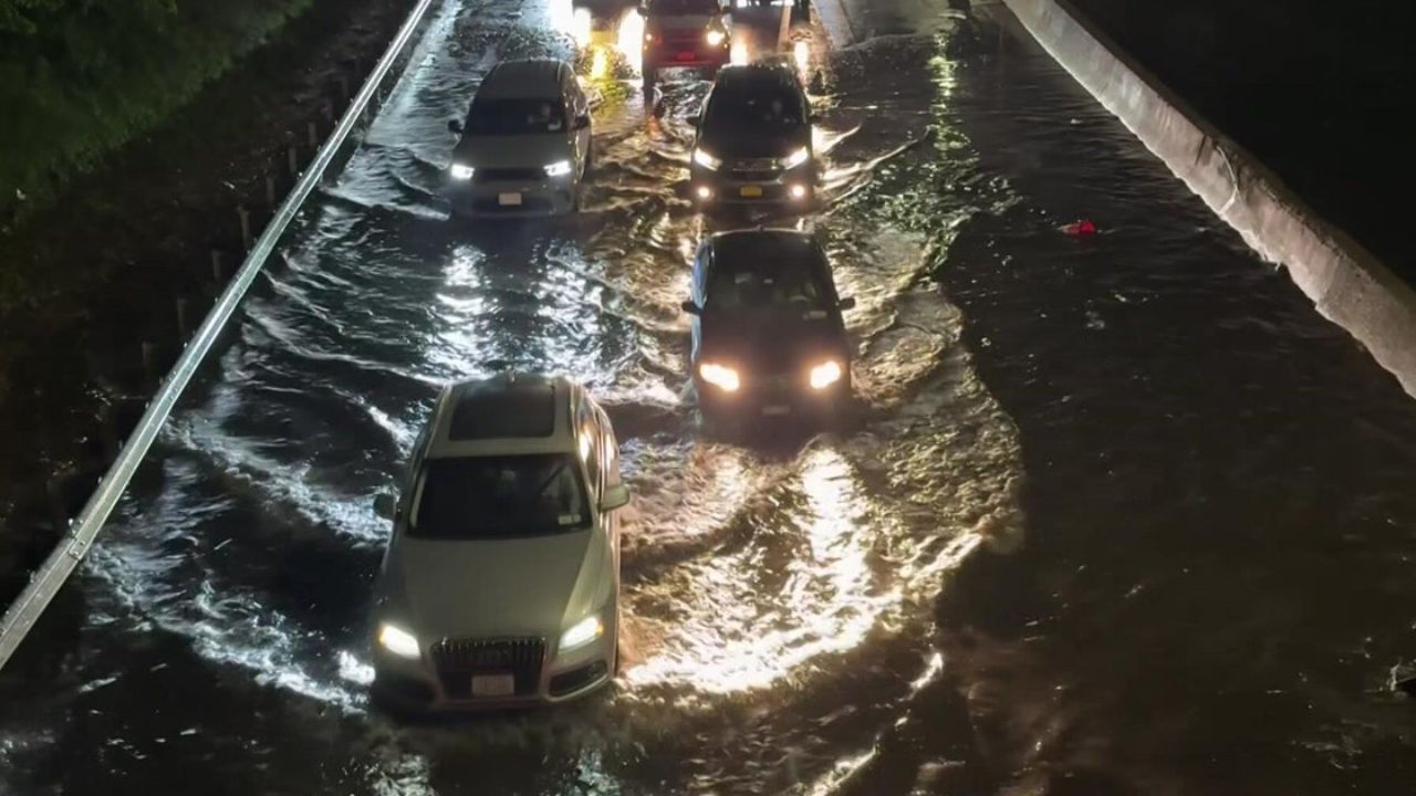
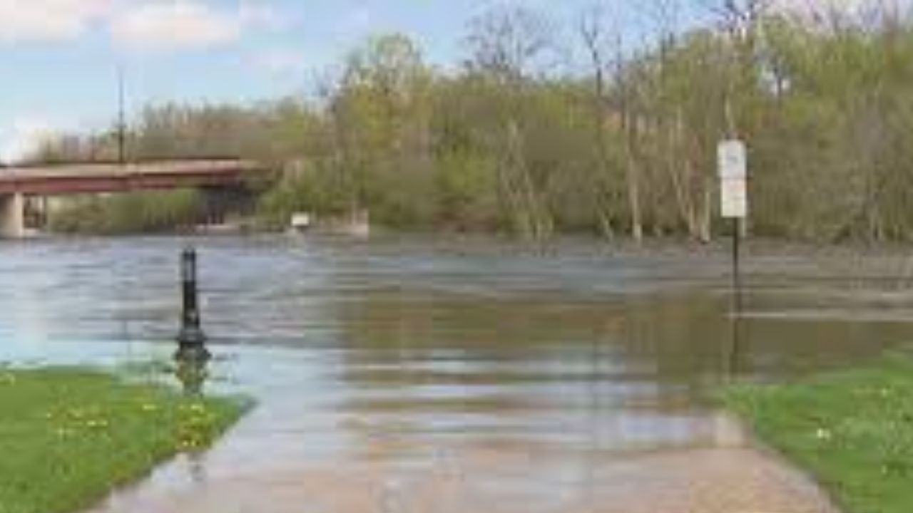
The current situation is being closely monitored along the Saint Joseph River near Newville, where minor flooding is already impacting surrounding areas, including DeKalb County Road 42. Water levels have reached around 13 feet and are expected to gradually fall below flood stage by Thursday afternoon, but the improvement may be slower than expected due to incoming weather systems.
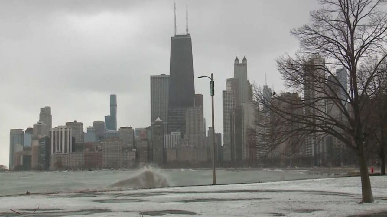
Tuesday brought a relatively calm and warm afternoon, with temperatures reaching the mid-70s and clear skies offering a temporary break. However, this stability is not expected to last. Weather officials warn that conditions will shift later tonight, with a 60 percent chance of showers and thunderstorms developing overnight and into early Wednesday morning. These storms could affect major travel routes like I-69 and US-30, making the morning commute potentially hazardous.
Rainfall from the upcoming storms is expected to range between a quarter and half an inch. While this may not seem significant, it can slow down the drainage of existing floodwaters, especially in low-lying agricultural zones near the Cedarsville Reservoir and surrounding rural areas.
Looking ahead, a brief warm-up is expected midweek. Thursday is shaping up to be the most pleasant day, with sunny skies and temperatures nearing 79 degrees. However, this relief will be short-lived. Another strong weather system is forecast to arrive by Friday afternoon, bringing a higher 70 percent chance of showers and thunderstorms. This could once again increase water levels in rivers and streams, raising concerns about renewed flooding.
In addition to rainfall, gusty winds are also a factor. Southwesterly winds reaching up to 30 mph are expected, which may create challenges for drivers, particularly those operating larger vehicles.
Conditions are likely to remain cooler and damp into Friday night before some improvement arrives over the weekend. Saturday is expected to bring relatively drier weather, although scattered showers are still possible.
Residents living near riverbanks and flood-prone areas are advised to stay alert, monitor local updates, and be prepared for changing conditions, especially during overnight hours and peak travel times later this week.
Five-Day Forecast for Fort Wayne, Indiana
Tuesday: Mostly sunny and breezy, high near 74°F
Wednesday: Partly sunny with a chance of thunderstorms, high near 76°F
Thursday: Mostly sunny and warm, high near 79°F
Friday: Showers and thunderstorms likely, high near 77°F
Saturday: Partly sunny with a chance of showers, high near 68°F
Officials continue to monitor the situation closely, and residents are encouraged to follow official weather updates and take necessary precautions as conditions evolve.