Minneapolis, Minnesota – Cold air continues to grip Minnesota as the Twin Cities move through midweek, but signs of a gradual warm-up are becoming clearer heading toward Valentine’s weekend. Breezy conditions, freezing mornings, and the possibility of light snow remain in focus before milder temperatures take over.
Incident Overview
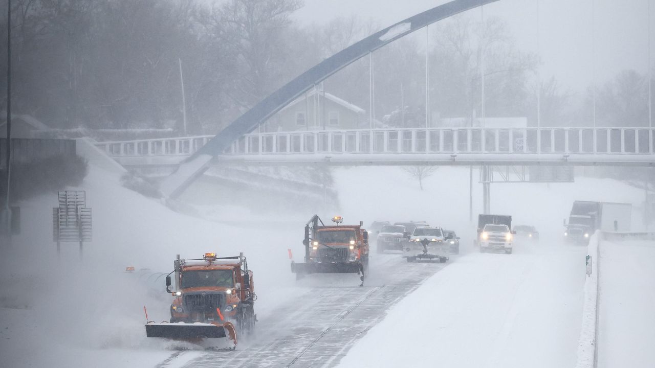
Early-week cold has kept winter firmly in place across Minnesota, with morning temperatures hovering near 32 degrees and wind chills dipping into the mid-20s. While no major storms are expected, fluctuating temperatures are creating slick travel conditions during overnight and early morning hours. A brief chance of light snow on Thursday adds another factor for drivers and pedestrians to watch closely.
Timeline of Weather Conditions
The day begins with partly sunny skies and a persistent northwest breeze. Gusts reaching 25 mph are common in open areas, especially along major corridors such as Interstate 94 and Highway 169. Afternoon highs rise into the mid-30s, but shaded surfaces may remain icy due to earlier refreezing.
Tonight brings another temperature drop, with lows falling into the low 20s. This sets the stage for refreezing overnight, particularly on bridges, overpasses, and untreated roads. The Wednesday morning commute may be slick in spots despite generally dry conditions.
By Wednesday afternoon, conditions improve. Sunshine dominates the sky, winds ease, and temperatures climb back into the mid-30s. While still wintery, the air feels noticeably less harsh. Wednesday night stays mostly cloudy with lows near 27 degrees.
Thursday marks the most noticeable shift of the week. Temperatures rise into the low 40s, and clouds gradually give way to sunshine. A slight chance of light snow develops before midday, though any accumulation is expected to be minimal. Any snowfall that does occur should melt quickly, but refreezing remains a concern after sunset as temperatures dip below freezing again.
Key Weather Details
- High temperatures: Ranging from the mid-30s early in the week to the mid-40s by Friday
- Coldest mornings: Overnight lows in the low 20s
- Wind: Northwest gusts up to 25 mph early in the week
- Snow risk: Light snow possible Thursday, with little to no accumulation
- Primary hazard: Refreezing on bridges, ramps, and shaded roads
Five-Day Outlook for the Twin Cities
- Today: Partly sunny and breezy, high near 34°
- Wednesday: Sunny and calmer, high near 36°
- Thursday: Slight snow chance early, high near 42°
- Friday: Sunny and milder, high near 45°
- Saturday: Mostly sunny, high near 48°
Additional Context: Melting and Refreezing Risks
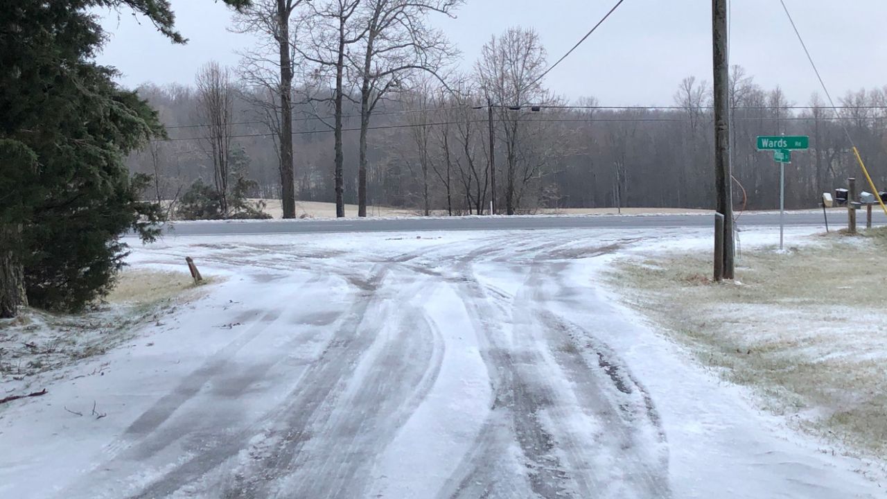
As temperatures rise later this week, melting snowpack will become more noticeable across Minneapolis, St. Paul, and surrounding suburbs. Daytime melting increases the risk of water pooling on sidewalks, parking lots, and neighborhood streets. Once temperatures fall after sunset, that moisture can quickly refreeze, creating black ice that is difficult to see.
This pattern is common during late-winter warm spells in Minnesota, when daytime highs climb above freezing but nights remain cold. Even areas that appear dry in the afternoon can become hazardous by evening.
Safety and Awareness Tips
Drivers should allow extra time during morning and nighttime travel, particularly on elevated roadways. Pedestrians are encouraged to wear footwear with good traction and remain cautious in shaded areas where ice persists longer. Property owners may want to clear melting snow early in the day to reduce refreezing risks overnight.
Looking Ahead
Longer-range forecasts suggest above-normal temperatures may persist into early next week, signaling the potential for a broader February thaw. While winter is far from over, the gradual warming trend offers a glimpse of relief from prolonged cold, even as it introduces new challenges tied to melting and refreezing.
Conclusion
Minnesota’s weather this week reflects a transition period, balancing lingering winter cold with signs of approaching warmth. With light snow possible Thursday and milder air arriving by Friday, residents should stay alert to changing conditions while preparing for a more comfortable stretch heading into Valentine’s weekend.
Share your experiences in the comments below.