Springfield, Missouri – A brief taste of spring is settling over the Ozarks early this week, bringing unusually warm air and dry conditions to southern Missouri. While Tuesday begins calm and mild, the weather pattern is set to shift quickly, with cooler nights and increasing rain chances heading into Valentine’s weekend.
Forecasters warn that fluctuating temperatures, strengthening winds, and late-week rainfall could create slick travel conditions, especially during early morning and evening hours. Residents across Springfield and Greene County are advised to stay weather-aware as February’s freeze-thaw cycle continues.
Unseasonable Warmth Kicks Off the Week
Tuesday opens with temperatures hovering near 50 degrees, a notable departure from typical February conditions in the Ozarks. Dry sidewalks, light winds, and a mild feel dominate the morning, offering a springlike start before clouds gradually increase.
By the afternoon, highs are expected to climb into the upper 60s, making it one of the warmer days this month for Springfield and nearby communities. While precipitation is not expected during daylight hours, the warmth will be short-lived as colder air returns overnight.
Timeline of Weather Changes Through the Week
As the day progresses, south winds strengthen, with gusts reaching above 20 mph, particularly along open corridors such as Highway 60 and U.S. 65. Although travel conditions remain generally smooth, drivers of high-profile vehicles may notice crosswinds on exposed roadways.
After sunset, temperatures drop rapidly. Overnight lows fall into the low 30s, marking a sharp swing of more than 30 degrees from daytime highs. This sudden cooling increases the risk of refreezing on bridges, overpasses, and shaded roads where moisture or condensation remains.
Details from Weather Officials: Midweek Calm Before Rain Returns
Wednesday brings a quieter but cooler pattern. Sunshine dominates much of the day, though afternoon highs retreat to the upper 50s. Morning hours feel noticeably colder, with wind chills dipping into the upper 20s, reminding residents that winter is not finished yet.
Wednesday night remains calm, with lows settling in the mid-30s. While conditions improve briefly, the calm weather acts as a transition ahead of the next system approaching late week.
Key Facts Residents Should Know
- High Tuesday temperature: Near 67 degrees
- Overnight low Tuesday night: Around 32 degrees
- Wind gusts: Up to 20+ mph
- Rain chances Thursday: Around 30 percent
- Wettest day: Saturday
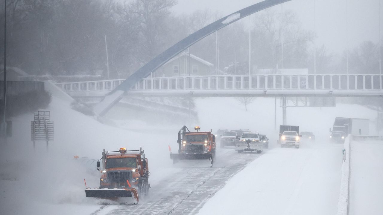
- Primary concern: Freeze-thaw slick spots and wet roads
Thursday Outlook: Rain Chances Increase in Springfield
By Thursday, cloud cover thickens across southern Missouri as another weather system approaches. Afternoon rain chances rise to approximately 30 percent, with scattered showers developing later in the day. Highs reach the upper 50s, but damp pavement could impact evening travel.
Rain may linger into Thursday night, followed by a cooler and mostly cloudy Friday, where daytime temperatures settle in the mid-50s. While widespread severe weather is not expected, persistent moisture combined with cooler nights keeps slick conditions possible during early morning commutes.
Additional Context: Valentine’s Weekend Brings More Rain
By Friday night, shower chances increase again, setting the stage for a wet Saturday across Springfield and surrounding areas. Rain is expected through much of the day, keeping highs near 53 degrees. Winter precipitation is not the primary concern, but repeated freezing and thawing overnight may continue to affect untreated surfaces.
Looking ahead, longer-range outlooks suggest above-normal temperatures building into early next week across southern Missouri. This points to a broader February thaw, though cooler nights may still bring localized icy patches.
Safety and Travel Awareness
Drivers should remain cautious during early morning hours, especially on bridges, overpasses, and less-traveled roads. Even light moisture can refreeze quickly when temperatures dip near freezing. Motorists are encouraged to reduce speed, allow extra stopping distance, and stay alert for changing road conditions later this week.
Pedestrians should also be mindful of slick sidewalks during colder mornings, particularly in shaded areas that receive less sunlight.
Conclusion
Springfield’s weather this week highlights February’s unpredictability, blending springlike warmth with winter-style overnight cooling. While the early-week warmth offers a pleasant break, rain and fluctuating temperatures ahead of Valentine’s weekend bring renewed travel concerns. Staying prepared and weather-aware will be key as conditions continue to change.
Five-Day Outlook – Springfield, Missouri
- Today: Increasing clouds, windy, high near 67
- Wednesday: Sunny and cooler, high near 58
- Thursday: Mostly cloudy, chance of showers, high near 57
- Friday: Mostly cloudy, high near 55
- Saturday: Showers likely, high near 53
Share your experiences in the comments below.