Orlando and surrounding areas are under threat of severe storms Saturday afternoon, with dangerous conditions expected to last well into the night.
When Will It Hit?
Storms will begin developing around 3 p.m. The most dangerous window is between 5 p.m. and 9 p.m., when conditions will be at their worst.
What to Expect
- Wind gusts up to 60 mph — strong enough to down trees and power lines
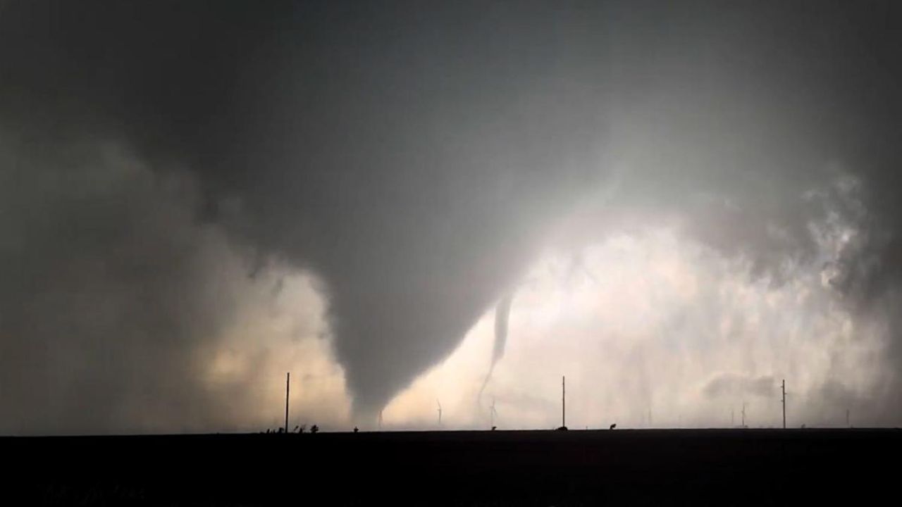
- Isolated tornado development possible
- Coin-sized hail
- Rapid roadway flooding, especially on I-4, I-95 and U.S. 1
Which Cities Are at Risk?
The National Weather Service in Melbourne has identified these areas as highest risk:
- Orlando
- Daytona Beach
- Sanford
- Melbourne
- Titusville
Before 3 p.m. — Winds Already Dangerous
Even before storms arrive, southwest winds of 15 to 25 mph with gusts up to 40 mph will make driving difficult on exposed roads and bridges starting late morning.
What You Should Do Right Now
- Secure all loose outdoor items immediately
- Avoid travel between 5 p.m. and 9 p.m.
- Move indoors the moment you see lightning
- Avoid underpasses and low-lying roads during heavy rain
Stay weather-aware and check local updates throughout the day.
— Coverage by thecmeaglet.com