A fast-moving and powerful storm system is set to impact the Philadelphia region Monday, bringing the threat of severe thunderstorms, damaging winds, heavy rainfall and even a few brief tornadoes.
A strong cold front will sweep through the area from late afternoon into the evening hours. While damaging straight-line winds remain the primary concern, isolated tornadoes and localized flash flooding are also possible as storms intensify.
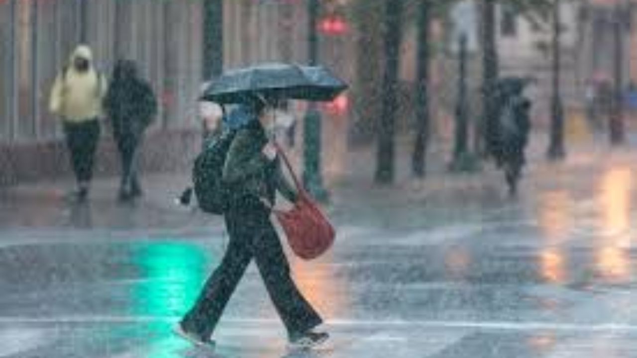
Windy Conditions Even Before Storms Arrive
Even outside of thunderstorms, Monday will be quite windy. South winds will strengthen throughout the day, with gusts ranging from 35 to 45 mph — especially along coastal areas. These gusts alone could cause minor tree damage and scattered power outages.
Temperatures will surge into the upper 60s and low 70s ahead of the front, creating an unstable atmosphere. Skies will remain mostly cloudy, with scattered showers and a few isolated rumbles of thunder possible during the morning hours.
Severe Storms Likely Late Afternoon and Evening
The highest risk for severe weather is expected late Monday afternoon through the evening as a solid line of thunderstorms develops along the approaching cold front.
Some storms could pack wind gusts between 50 and 70 mph. If stronger storm cells form within the line, there is the potential for brief tornado spin-ups. Heavy downpours may also lead to pockets of localized flooding, particularly in low-lying or poorly drained areas.
Residents are advised to monitor weather alerts and have multiple ways to receive warnings during the evening hours.
Dramatic Temperature Drop and Wintry Mix Overnight
Once the cold front pushes through, temperatures will drop sharply overnight. A blast of colder air will spill into the region, and lingering moisture could change over to a wintry mix or wet snow late Monday night into early Tuesday.
By Tuesday morning, temperatures will struggle in the 30s. Gusty winds will continue, making it feel even colder, with wind chills dipping into the 20s.
This system will mark a dramatic shift from mild spring-like warmth to winter-like chill in less than 24 hours, creating hazardous conditions both during and after the storms.