OKLAHOMA CITY, OK – Residents across the central United States are being urged to stay weather-aware this Mother’s Day weekend as a persistent storm pattern threatens to bring damaging winds, hail, and flooding downpours to the region.
Severe Weather Returns to the Plains
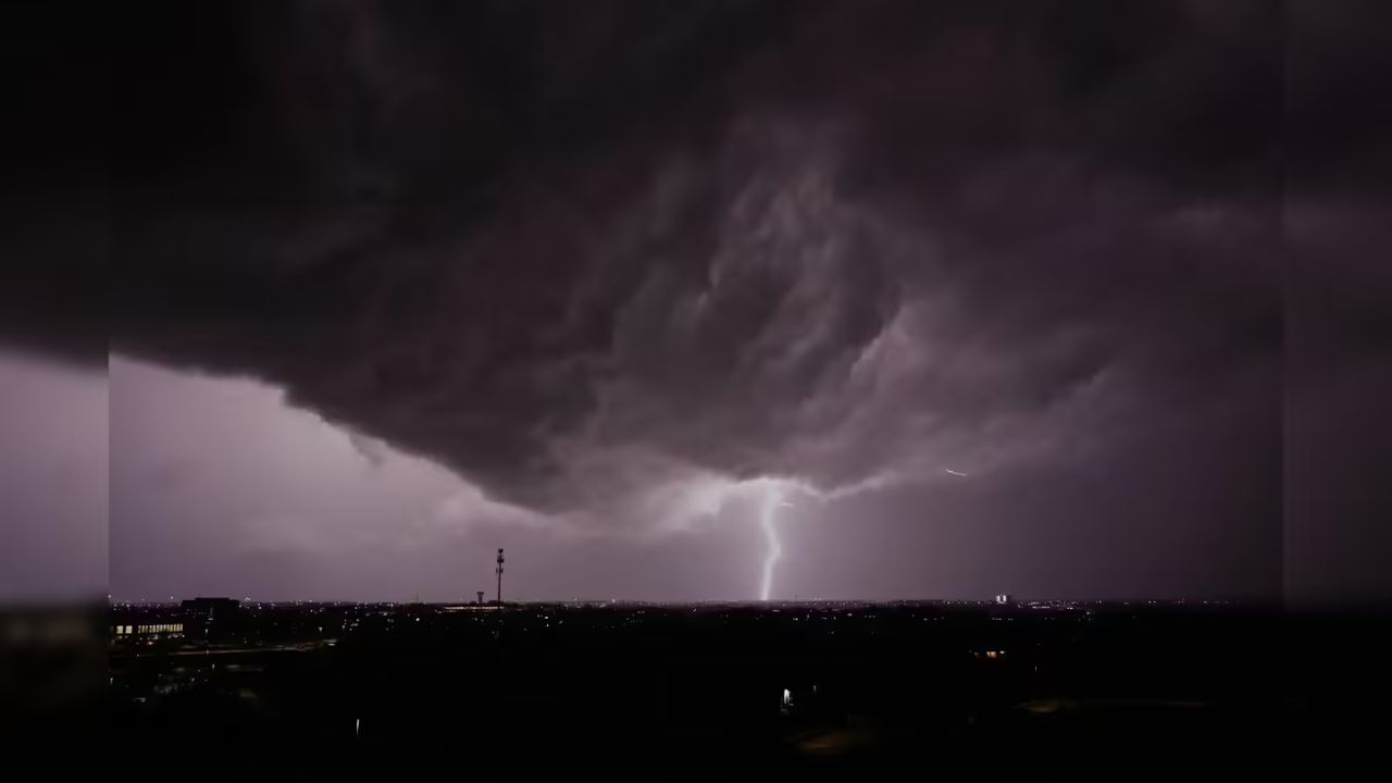
Following a week of destructive tornadoes in the South, meteorologists warn that the atmosphere remains volatile. While a massive outbreak is not currently predicted, experts emphasize that it only takes one severe cell to cause significant property damage.
The primary concerns for Friday and Saturday include:
- Damaging wind gusts
- Large hail
- Localized flash flooding
Timing and Impact Zones
The risk of severe weather will shift across several states through Sunday evening:
- Friday Afternoon/Night: Severe storms are forecast in a corridor stretching from Oklahoma City to St. Louis, covering much of Missouri, northeastern Oklahoma, and parts of Arkansas. Simultaneously, a separate zone in Texas—including Houston, Austin, and San Angelo—will face storm risks.
- Saturday Night: The threat remains concentrated in northeastern Oklahoma, northwestern Arkansas, and southwestern Missouri.
- Mother’s Day (Sunday): The most widespread coverage is expected to hit Northeast Texas, Southwest Arkansas, and Northwest Louisiana.
Flash Flooding Along the I-10 Corridor
In addition to wind and hail, torrential “frog-strangler” downpours are expected along the Interstate 10 corridor in the central Gulf Coast states. While the 1 to 4 inches of rain will provide relief for long-term drought conditions, officials warn of significant ponding on streets and potential flash flooding. Localized areas could see up to 9 inches of rain through Sunday.
Safety Warning for Residents
Weather experts are advising residents, particularly those in south-central and southeastern states, to have multiple ways to receive emergency alerts. Because some recent tornadoes have been “rain-wrapped”—making them nearly impossible to see or hear—having an alarm that can wake you up at night is critical for safety.