Forecasters are tracking multiple rounds of potentially severe thunderstorms across eastern Iowa and western Illinois from Thursday night through Monday — and the worst window may catch people outside.
Asignificant weather shift is underway across the Quad Cities region. Beginning as early as late Thursday night and persisting through at least Monday, May 19, forecasters at the National Weather Service Quad Cities office are tracking a repeated cycle of showers and thunderstorms — some of which may become severe.
“Saturday evening through Sunday currently appears to hold one of the better opportunities for stronger thunderstorms.”
— National Weather Service, Quad Cities
The storm threat is not a single event. Meteorologists are warning of multiple distinct rounds of activity, separated by extended dry periods that could give residents a false sense of calm. The first chance arrives Thursday night into Friday morning, especially south of Interstate 80, where storms could strengthen after midnight.
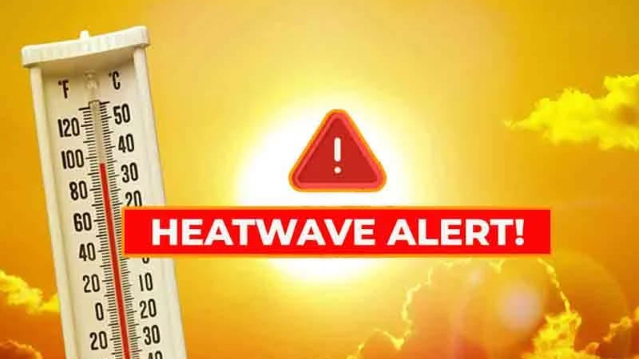
Temperatures will climb steadily through the period — from the low-to-mid 70s on Thursday into the 80s from Friday through Monday — creating the warmth and instability that fuels severe thunderstorm development. With that heat, the primary concerns shift from a simple rain event to the potential for large hail and damaging wind gusts.
The window forecasters are watching most closely spans Saturday evening through Sunday. That window directly covers peak outdoor hours — backyard gatherings, youth sports, outdoor events — across communities from Davenport and Bettendorf on the Iowa side to Moline, Rock Island, and Clinton in Illinois.
Communities Most at Risk
- Davenport, IA
- Bettendorf, IA
- Clinton, IA
- Moline, IL
- Rock Island, IL
- East Moline, IL
Forecasters are emphasizing particular vigilance during overnight hours, when storm warnings are most easily missed by sleeping residents. Officials are urging everyone in the region to set up multiple ways to receive weather alerts — whether through a NOAA weather radio, a smartphone weather app with push notifications, or local broadcast alerts — before heading to bed this weekend.
The NWS noted that the precise timing, coverage, and intensity of each storm round is still uncertain and will become clearer in the coming days. Residents are encouraged to check updated forecasts frequently and avoid committing to outdoor plans without a backup weather safety plan in place.
Storm Timeline, May 14–19
Thu Night–Fri AMModerateScattered storms develop after midnight, mainly south of I-80. Some may strengthen.
Friday Moderate Highs reach the 80s. Additional thunderstorm chances continue Friday night.
Sat Evening–Sun High Risk Best chance for severe storms. Large hail and damaging winds possible across the Quad Cities metro.
Monday, May Watch Warm temps persist in the 80s. Further storm chances remain; details still developing.
What you should do now Download a weather app with push alerts, locate your nearest NOAA weather radio station, and make sure anyone hosting or attending outdoor events this weekend has a clear shelter plan. Storms can move faster than a news update.