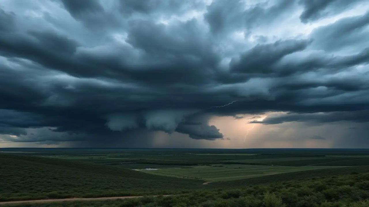
DES MOINES, Iowa — A major severe weather outbreak is taking shape across the Central Plains and upper Midwest — and forecasters say the threat could stretch from this weekend all the way into Monday.
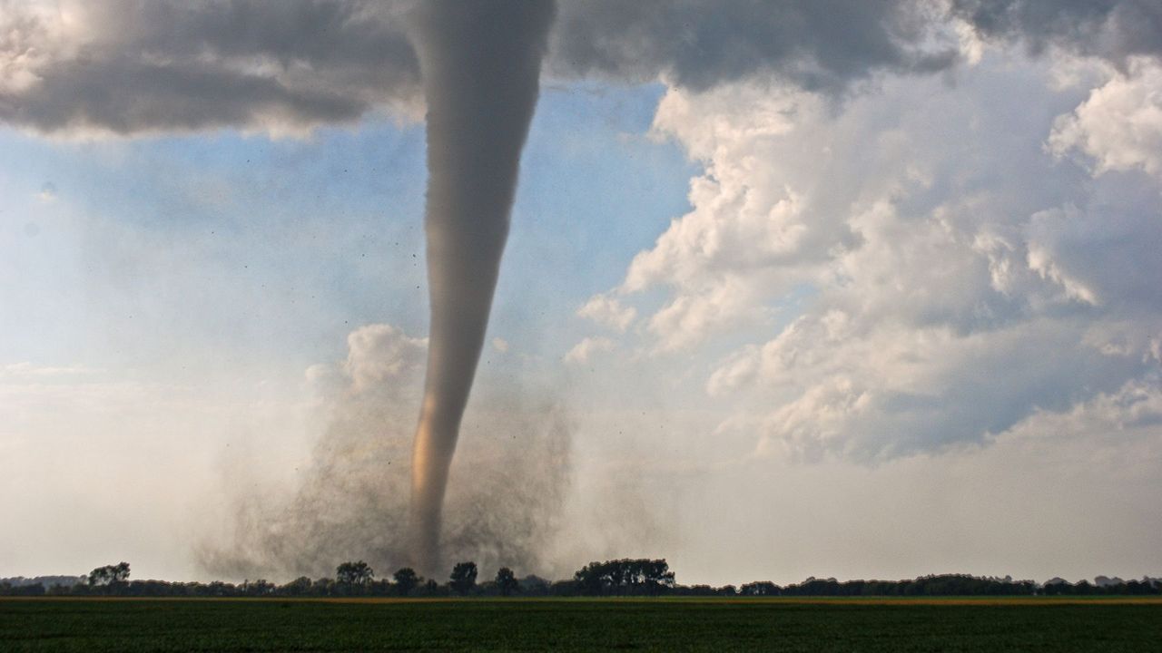
Tornadoes, large hail and destructive winds are all possible.
If you live anywhere from Texas to Michigan, here is what you need to know — day by day.
Through Saturday Morning: Iowa Faces the Biggest Overnight Risk
The overnight hours heading into Saturday carry the most immediate danger — and Iowa is at the center of it.
Damaging winds and large hail are the primary concerns, but a couple of tornadoes are also possible, especially across Iowa.
Storms are possible from west Texas all the way up to Wisconsin as a frontal system pushes through the region.
Saturday: Supercells Fire Up Across the Central Plains
Scattered supercell thunderstorms are expected to develop Saturday afternoon and evening.
Large hail, strong wind gusts and a few tornadoes are all possible as storms organize near a frontal boundary, a dryline and an area of low pressure.
Overnight Saturday, those storms could cluster together across Nebraska, Iowa and South Dakota — with damaging winds becoming the top threat.
Cities directly in the line of fire Saturday include Des Moines, Lincoln, Omaha and Sioux Falls.
Sunday: The Most Dangerous Day of the Outbreak
Sunday is shaping up to be the most serious day of the entire event.
NOAA’s Storm Prediction Center has specifically flagged the potential for strong tornadoes and a squall line packing destructive winds by Sunday evening across the Central Plains and upper Midwest.
The threat could arrive in two separate rounds — first in the morning across the upper Midwest, then again in the afternoon and evening stretching from the Plains into the upper Midwest.
Farther south, Oklahoma may see fewer storms overall. But the storms that do develop along the dryline could be powerful supercells producing hail, damaging winds and an isolated tornado.
Monday: The Threat Spreads Even Further
Monday could end up being the most geographically widespread severe weather day of the entire outbreak.
The threat may stretch from Texas all the way up to Michigan.
Cities most at risk Monday include Des Moines, Kansas City, Madison, Omaha and Wichita.
What You Should Do Right Now
Do not wait until Sunday to get ready. Severe weather can move fast and warnings may give you very little time.
Here is what forecasters and emergency managers recommend:
- Know where you will shelter — an interior room on the lowest floor, away from windows
- Charge your phone and keep a battery backup nearby
- Download a weather app with push alerts turned on
- Have a plan for your family, including pets, before the first storm arrives
- If you are in a mobile home or vehicle when a tornado warning is issued, get to a sturdy building immediately
The National Weather Service will be issuing updated outlooks as the pattern develops. Stay close to local forecasts and do not ignore watches or warnings.
Are you in one of the cities in the threat zone this weekend? Drop a comment below and let others in your area know what conditions look like where you are.