
A fresh round of potentially dangerous weather is expected to move into the Chicago region just a day after powerful storms brought damaging winds and tornado warnings across parts of the area.
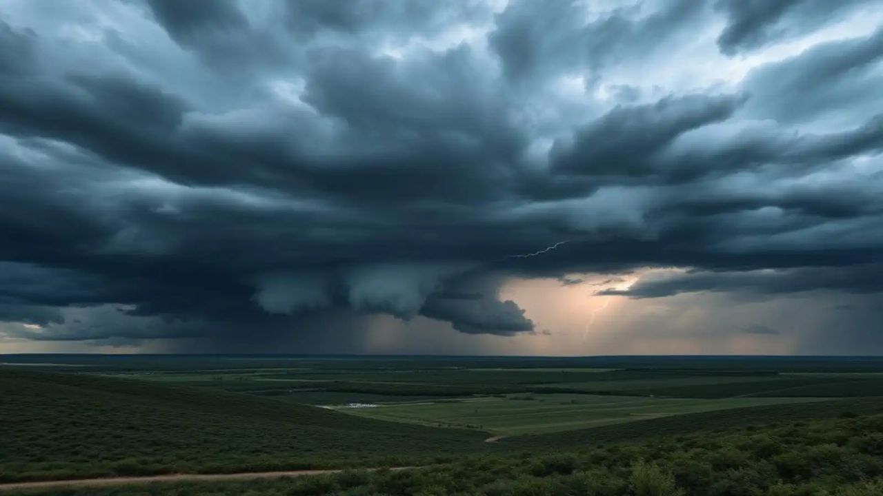
According to the National Weather Service, scattered to numerous thunderstorms are likely to develop late Friday afternoon into the evening. While not every storm will turn severe, some could intensify quickly—especially in areas along and south of the Illinois and Kankakee River valleys.
Residents in these regions face the highest risk, with possible wind gusts reaching up to 60 mph and hail as large as quarters. There is also a low but notable tornado risk, with conditions capable of producing brief funnel clouds or isolated tornadoes.
Heavy rainfall is another major concern. With soil already saturated from recent storms, even short bursts of intense rain could trigger flash flooding. A flash flood watch has been issued for multiple counties across northeastern Illinois and northwest Indiana, warning of rapid water accumulation in low-lying areas, streets, and basements.
Overnight into Saturday, storms are expected to become more widespread. The main threat will shift toward torrential rainfall, which could cause rising water levels in streams and creeks, along with localized flooding.
By Saturday morning, lingering storm activity is possible, particularly east of Interstate 57, though conditions are expected to gradually improve.
Officials urge residents to stay alert, monitor weather updates, and be prepared for rapidly changing conditions, especially during evening and overnight hours.


