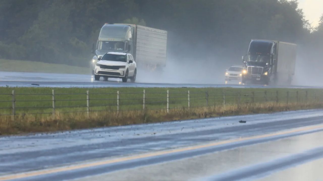
Snowshoe, West Virginia – Drivers traveling through the higher elevations of eastern West Virginia are facing dangerous road conditions as accumulating snow and strong winds move into the region late Wednesday and continue through Thursday afternoon. Slick roads, reduced visibility, and potential power disruptions are prompting officials to urge caution, particularly in mountain communities.
Incident Overview
A Winter Weather Advisory remains in effect for parts of eastern West Virginia as snow and gusty winds impact travel across higher terrain. The advisory covers southeast Webster County, northwest Pocahontas County, and southeast Randolph County, where conditions are expected to deteriorate rapidly Wednesday evening.
Forecast models indicate a combination of steady snowfall and strong winds that could make travel difficult, especially along exposed ridgelines and mountain passes. Communities at higher elevations are likely to experience the worst conditions.
Timeline of Events
Snow showers are expected to increase late Wednesday afternoon, with road conditions worsening by Wednesday evening. The most hazardous period for travel is forecast overnight into the Thursday morning commute, when snow-covered roads and reduced visibility could affect drivers heading to work or school.
Conditions are expected to gradually improve by Thursday afternoon, as snowfall tapers off and winds begin to ease. However, lingering slick spots may persist into the evening hours, particularly on shaded roadways and secondary routes.
Details From Weather Officials
According to the National Weather Service in Charleston, snowfall totals of 2 to 4 inches are expected in the advisory areas, accompanied by wind gusts reaching up to 45 mph. These winds may cause blowing snow, further reducing visibility, and could also bring down weakened tree limbs.
“Snow combined with strong wind gusts may lead to hazardous travel, especially across higher elevations and exposed areas,” the National Weather Service stated in its advisory issued by the Charleston office.
More detailed forecast updates and advisories are available through the National Weather Service Charleston office at https://www.weather.gov/rlx.
Key Facts at a Glance
• Affected Areas: Snowshoe, Harman, southeast Webster County, northwest Pocahontas County, southeast Randolph County
• Snowfall Expected: 2 to 4 inches
• Wind Gusts: Up to 45 mph
• Advisory Duration: Wednesday afternoon through early Thursday afternoon
• Primary Hazards: Slick roads, blowing snow, reduced visibility, falling tree limbs
Impact on Travel and Infrastructure
Mountain towns such as Snowshoe and Harman are likely to see snow-covered roads develop quickly after sunset Wednesday. Bridges and overpasses are expected to become slick first, increasing the risk of accidents during periods of heavier snowfall.
The combination of snow accumulation and gusty winds could also lead to brief power disruptions, particularly if tree branches are blown onto power lines. Utility crews may be on standby as conditions worsen overnight.
Drivers traveling along higher elevation routes are advised to allow extra time, reduce speed, and maintain a safe following distance. Vehicles without proper winter traction equipment may struggle on untreated or snow-packed roads.
Public Safety and Travel Tips
Weather officials and local authorities are urging residents and travelers to take precautions during this winter weather event. Safety recommendations include:
• Avoid unnecessary travel during the peak of the storm
• Check current road conditions before departing
• Carry emergency supplies, including blankets, food, and water
• Keep mobile devices charged in case of power outages
• Watch for downed tree limbs or power lines after strong wind gusts
Those who must travel should remain alert for sudden changes in visibility, particularly during snow squalls or blowing snow conditions along ridgelines.
Additional Weather Outlook
While conditions are expected to improve by Thursday afternoon, forecasters caution that additional snow showers could develop if colder air lingers longer than anticipated. As a result, additional advisories or extensions remain possible depending on how the system evolves.
Motorists should continue to monitor updated forecasts and weather alerts, especially if planning travel through mountain areas late Thursday or early Friday.
Conclusion
Snow and high winds across eastern West Virginia’s mountain regions are creating hazardous travel conditions from Wednesday evening through Thursday afternoon. With accumulating snow, strong gusts, and reduced visibility, drivers are urged to exercise caution and stay informed as conditions evolve.
If you are traveling through the affected areas or live in the region, stay alert, follow safety guidance, and monitor official weather updates. Share your experiences in the comments below.