- Severe storms with tornadoes, damaging winds and heavy rain are sweeping across the South on Wednesday night.
- Birmingham, Jackson, Atlanta and cities across Mississippi and Alabama face the highest risk.
- A strong tornado already tore roofs off homes in Purvis, Mississippi, Wednesday evening.
- Flood watches are in effect for northern Georgia and central Alabama, with 4+ inches of rain possible in some spots.
JACKSON, Mississippi — A dangerous night is unfolding across the South, and millions of residents have little time to prepare.
Severe thunderstorms are pushing east across the region, bringing a deadly combination of tornadoes, damaging wind gusts, heavy rainfall and flash flooding. Wednesday’s threat level has been raised to a 3 out of 5 — and forecasters warn the worst is still hours away.
A Tornado Already Struck Tonight
This is not a watch-and-wait situation. The storms are already here — and already doing damage.
A strong tornado hit Purvis, Mississippi, Wednesday evening, ripping roofs off homes and several buildings. Damage was also reported to the west-southwest in the town of Bogue Chitto.
A second long-track supercell produced at least one confirmed tornado that tracked south of Brookhaven, Mississippi, confirmed by radar and power flashes before lifting east of Monticello.
These are not isolated incidents. They are a preview of what could unfold overnight across a much wider area.
Which Cities Are Most at Risk
The storm system is moving east through the evening and into the overnight hours.
Cities including Birmingham, Alabama, Jackson, Mississippi, and Atlanta, Georgia, are all in the crosshairs for isolated tornadoes and spotty flooding as storms roll through.
By Thursday morning, the heaviest activity will focus on the Southeast and parts of the southern mid-Atlantic.
If you live anywhere from Texas to North Carolina, tonight is a night to stay informed and stay close to shelter.
Flash Flooding Is Also a Real Threat
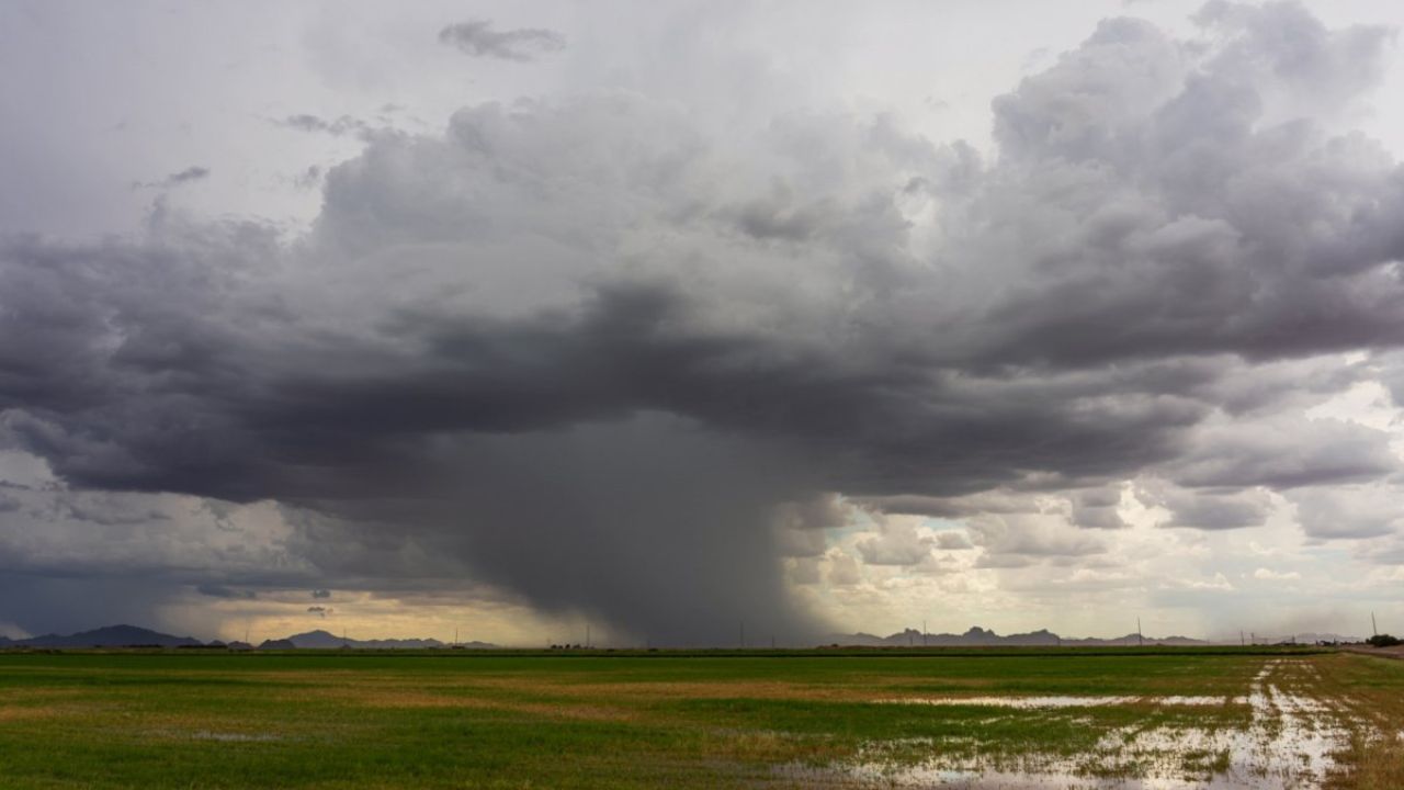
On top of tornado risk, these storms are carrying serious rainfall.
Flood watches are already in effect for northern Georgia and central Alabama, with more watch areas likely to be added in the coming hours.
Most of the South can expect 1 to 3 inches of rain — enough to help drought-stricken soils absorb some relief. But southern Alabama and southern Mississippi could see over 4 inches in a short window.
Cities like Jackson, Mississippi, and Montgomery, Alabama, need to be ready for repeated waves of heavy rain pounding the same streets over and over — a pattern forecasters call training storms.
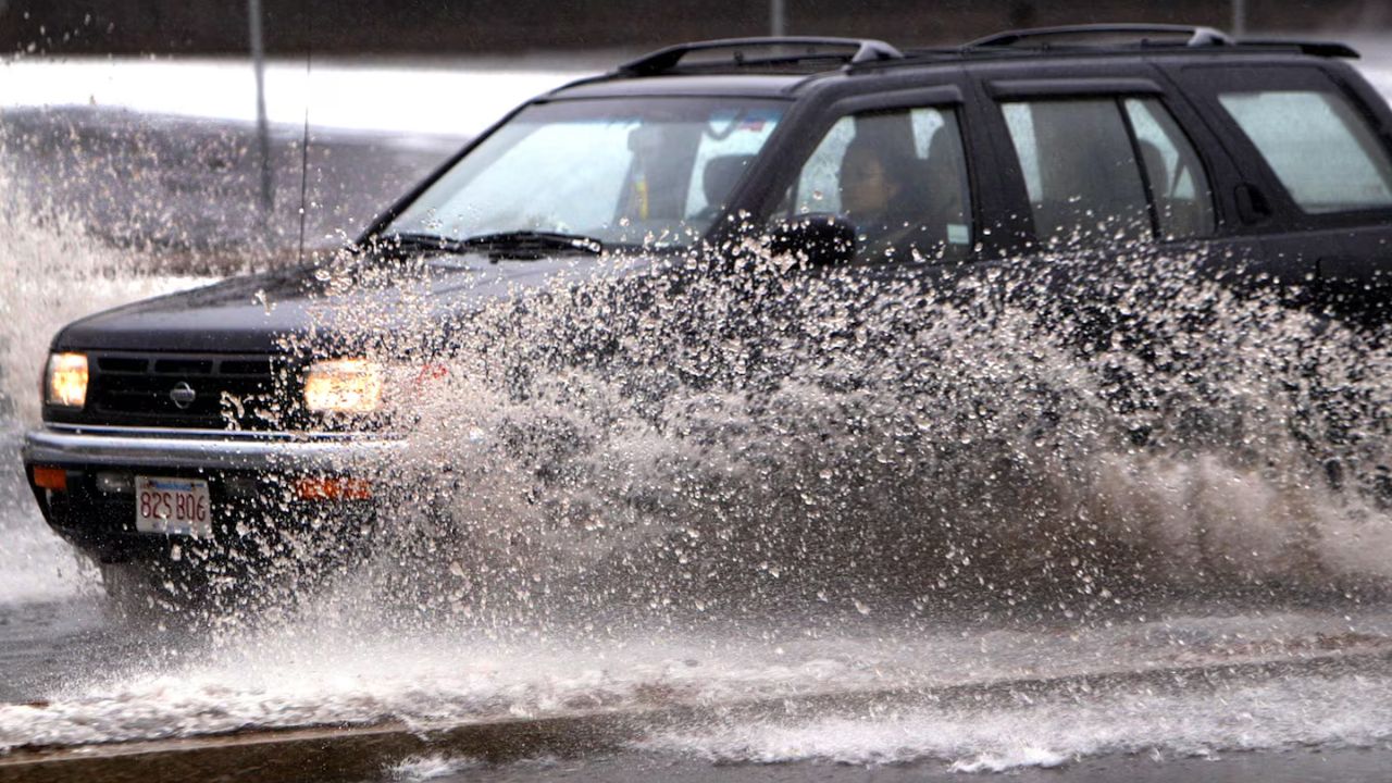
Flash flooding can develop fast. Do not attempt to drive through flooded roads.
Why the Storms Are This Intense
Two major weather systems are colliding across the South right now.
A subtropical jet stream is pulling warm, humid air deep into the region. At the same time, a trough dropping down from the Rockies is pushing unseasonably cool air from the north. When these two air masses slam into each other, the result is exactly the kind of severe weather unfolding tonight.
May is historically the busiest month for tornadoes in the United States — and this week is a reminder of exactly why.
What You Should Do Right Now
Do not wait until you hear sirens. Take action now.
Charge your phone, identify your safest interior room away from windows, and keep a weather alert app running throughout the night. If your area loses power, stay sheltered and wait for official all-clear signals before going outside.
Are you in the path of tonight’s storms? Share what you are seeing in your area in the comments — real-time reports from locals help everyone stay safer.