Chicago, Illinois — Chicago residents need to prepare now. A significant severe weather outbreak is taking shape across the region over the next two days — and forecasters are warning this one has the potential to get dangerous in a hurry.
Make sure you have a way to receive weather alerts before Wednesday afternoon arrives.
Wednesday — First Round of Storms
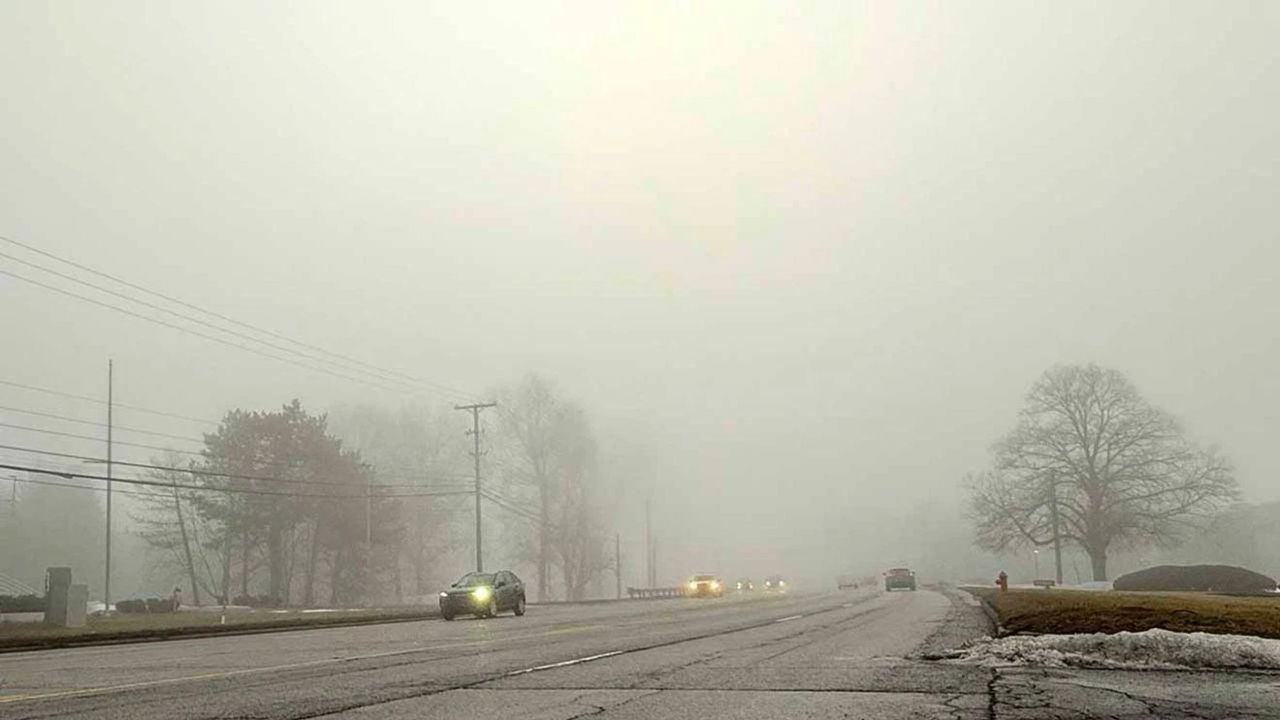
Wednesday starts hot and humid, with highs in the lower 90s and heat index values hovering around 100 degrees for many areas. Expect a fair amount of sunshine through the afternoon — but do not let that fool you.
Severe thunderstorms are expected to develop in two separate rounds Wednesday:
Round 1: 4 p.m. to 7 p.m. Round 2: 9 p.m. to 2 a.m.
The main threats with Wednesday’s storms include:
- Damaging straight-line wind gusts topping 70 mph
- Quarter-sized hail
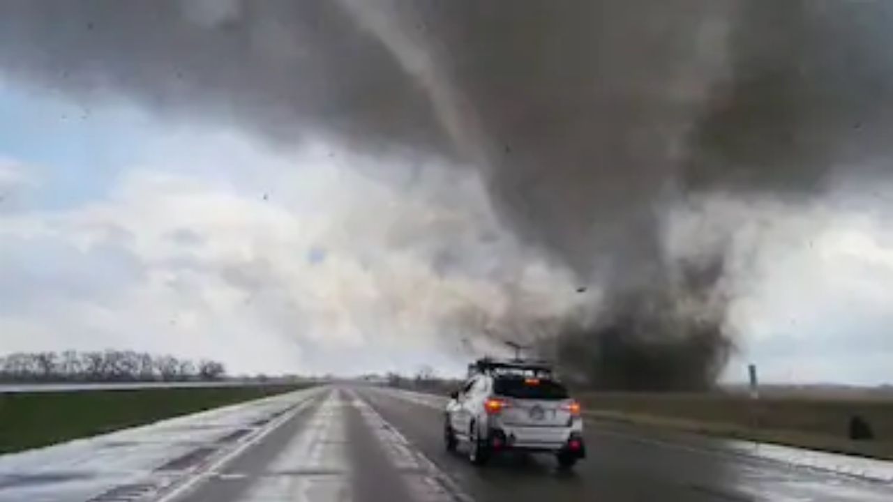
- A couple of tornadoes cannot be ruled out
Plan on a watch and several warnings being issued by the afternoon and evening. Be ready to adjust your plans around the storms and have your alert system in place well before 4 p.m.
Thursday — The Higher Threat Day
Thursday is shaping up to be even more dangerous than Wednesday.
High heat and humidity will continue, and a cold front pushing through Thursday afternoon could cause conditions to deteriorate rapidly.
Thursday’s storm window runs from 4 p.m. to 10 p.m., and forecasters are particularly concerned about this setup.
The main threats include:
- Damaging wind gusts topping 60 mph
- Multiple tornadoes
- Hail larger than golf balls
Forecasters warn that Thursday’s setup could produce what is called a QLCS line of storms — a setup known for producing quick tornado spin-ups and rapid-fire tornado warnings with very little lead time.
If you have outdoor plans Thursday evening, change them now.
Relief Is Coming — But Not Yet
Once the storms clear out, humidity levels will begin to drop and Chicago will finally catch a break.
Friday stays warm in the 80s but will feel far more comfortable with lower dew points. Saturday also sits in the 80s, though a weak cold front could trigger some late evening rain and thunder.
Behind that front, temperatures drop into the pleasant 70s from Sunday through Tuesday of next week, with sunny to partly cloudy skies and comfortable morning lows in the upper 50s to lower 60s. A slight chance of rain returns late Tuesday.
Chicago, are you ready for this storm threat? Stay safe and let us know how conditions look in your neighborhood — drop a comment below.