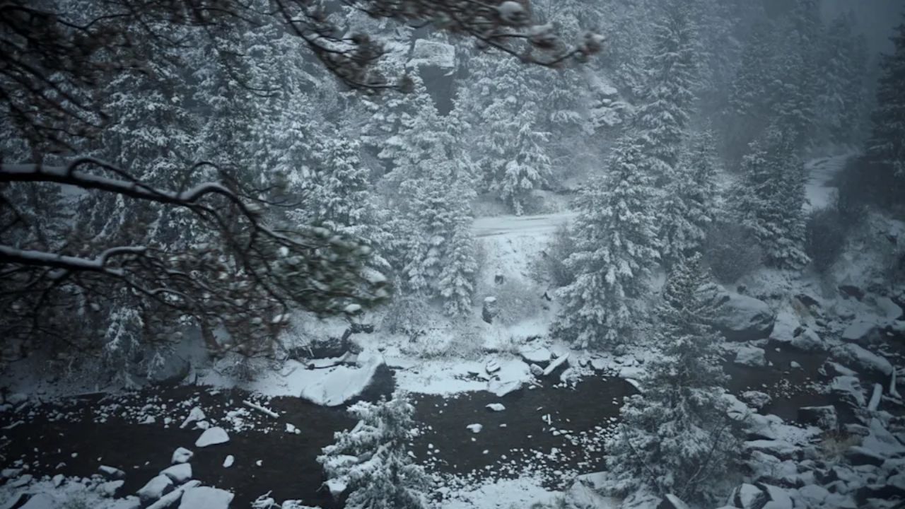
CHEYENNE, Wyoming — Wyoming residents waking up Monday morning may find a winter scene they were not expecting in mid-May.
A late-season snow event is on the way, and forecasters say it could make for a messy and dangerous start to the workweek — especially for anyone planning to drive.
What to Expect and When
According to the National Weather Service office in Cheyenne, much colder air will push into the region Sunday night.
Rain showers already in the area will begin transitioning to snow through Monday morning and are expected to continue into Monday afternoon and evening.
Accumulating snowfall is becoming increasingly likely at elevations above 5,000 feet, with the heaviest impacts expected across southeast Wyoming.
Which Communities Are Most at Risk
Forecasters have identified several areas with some of the highest probabilities for picking up at least 2 inches of snow.
Those locations include Arlington, Douglas, Laramie, Rawlins, Wheatland, and Lusk.
If you live in or near any of these communities, now is the time to prepare.
Power Outages Are Also a Concern
This is not your typical light dusting.
The National Weather Service warned that heavy, wet snow — the kind that sticks to everything — could put significant weight on tree branches and power lines.
That combination raises the risk of downed lines and outages in some areas, so residents should have a plan in case the lights go out.
Dangerous Road Conditions Expected
Drivers on Interstate 80 and Interstate 25 should be especially cautious.
The most dangerous window for travel is expected to be overnight Sunday into Monday morning, when roads could become slick quickly and conditions can change with little warning.
If your commute or plans take you through those corridors Monday, build in extra time, reduce your speed, and check road conditions before you leave.
The Cold Is Not Done After the Snow
Once the snow clears, the cold sticks around.
Widespread freezing temperatures are expected Monday night into Tuesday morning, with parts of Wyoming potentially dipping into the low-to-mid 20s.
Gardeners and anyone with outdoor plants should take action before Sunday night to protect sensitive vegetation from the freeze.
Stay Updated
Conditions can shift quickly with late-season storms like this one.
Residents across southeast Wyoming and western Nebraska are encouraged to monitor the latest forecasts from the National Weather Service and be ready to adjust travel plans as needed.
Are you prepared for the storm, or does this late-May snow catch you off guard? Let us know in the comments — we want to hear how your community is getting ready.