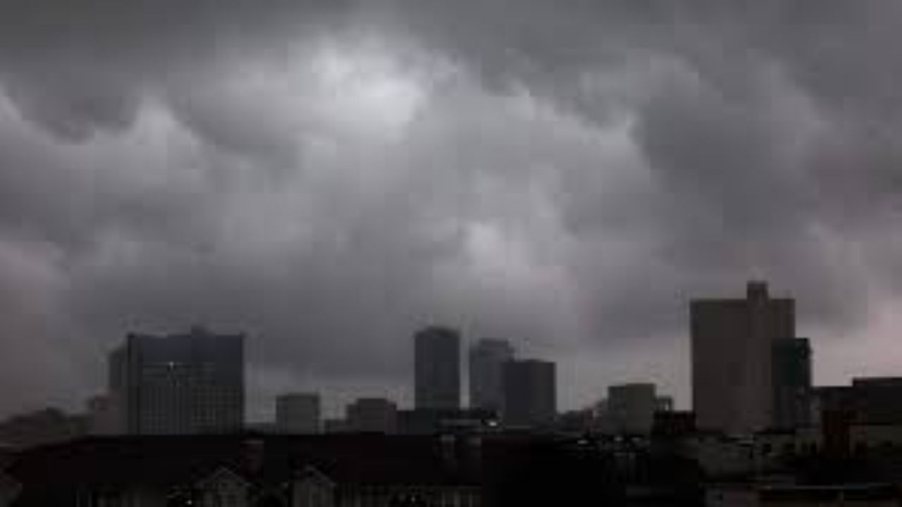
After a stormy Sunday across parts of Southeast Texas, conditions are beginning to settle down. The earlier Flood Watch has now been lifted, but some neighborhoods may still deal with leftover water, especially in low-lying areas, feeder roads, and underpasses. Drivers should stay cautious overnight as standing water may take time to drain.
Rain chances will gradually decrease late Sunday night, with most storms weakening around midnight. Areas north of I-10 may still see a few lingering showers before skies calm down.
Monday brings a noticeable break compared to Sunday’s heavy storms. The morning could start with damp roads and a few isolated showers, especially in areas that saw flooding earlier. As the day progresses, expect partly cloudy skies with a slight chance of afternoon showers. Temperatures will begin in the upper 60s to low 70s and rise to the low 80s, with humidity staying high.
For the rest of the week, Southeast Texas will remain in a warm and humid pattern. While widespread storms are not expected, scattered showers or a brief thunderstorm could pop up any day through Friday. These will be hit-or-miss rather than continuous rainfall.
Looking ahead to next weekend, a shift in the weather pattern is possible. A developing system may push a cold front into the Houston area by Saturday night. This could bring more organized rain and storms, followed by slightly cooler temperatures and lower humidity early next week.
Residents should stay alert for changing conditions, especially in flood-prone areas, even as the overall weather trend becomes calmer.