Central Iowa residents are being urged to stay indoors and avoid unnecessary travel as a powerful and fast-moving storm system is expected to bring life-threatening conditions between 12 p.m. and 6 p.m. Monday.
What’s Coming
The National Weather Service in Des Moines has warned of multiple storm rounds throughout the day, with the most dangerous window arriving during afternoon hours. Cities directly in the impact zone include Des Moines, Ames, Marshalltown, Cedar Rapids, and Iowa City.
Storms are expected to move rapidly northeast at nearly 45 mph, giving residents very little warning time before conditions deteriorate.
What to Expect
Forecasters say the storms could bring:
- 💨 Wind gusts up to 70 MPH
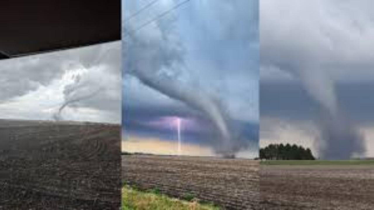
- 🌪️ Isolated tornadoes during peak afternoon heating
- 🧊 Large hail capable of damaging vehicles and rooftops
- ⚡ Widespread power outages across Polk, Story, and Linn counties
Roads to Avoid
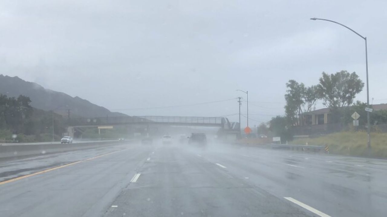
Drivers on I-35, I-80, I-380, and surrounding highways face serious risks including sudden visibility drops, flying debris, and rapidly worsening conditions. Authorities strongly recommend avoiding all non-essential travel during midday and afternoon hours.
What You Should Do Right Now
- ✅ Secure all outdoor furniture and loose items
- ✅ Charge your phones and devices immediately
- ✅ Identify your nearest shelter location
- ✅ Avoid travel between 12 PM and 6 PM
- ✅ Stay tuned for emergency alerts
Threat Continues Into Evening
Even after the initial storm window passes, the severe weather threat is expected to continue into the evening as activity shifts east across the state. Additional alerts from the National Weather Service are likely throughout the day.
For live updates, full county-by-county breakdown, and hour-by-hour storm timing — visit thecmeaglet.com