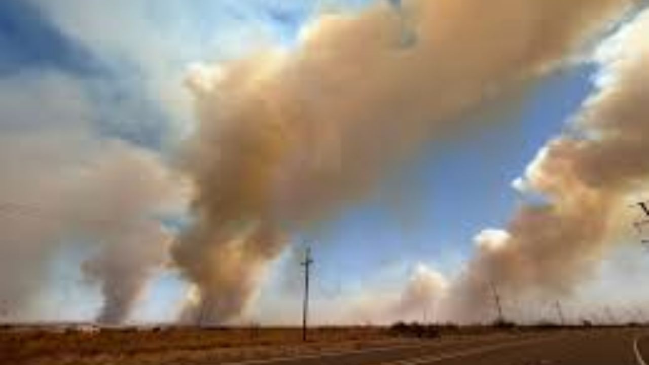
Amarillo, Texas – A dangerous mix of powerful winds and extremely dry air is creating life-threatening fire conditions across parts of the central United States on Wednesday, with the highest risk stretching from Wyoming through Colorado and into the Texas Panhandle.
Authorities warn that conditions could worsen rapidly by midday, as wind gusts climb as high as 65 to 70 mph and humidity levels fall below 15%. This combination significantly increases the chances of fast-moving wildfires, where even a small spark can ignite flames that spread within minutes.
According to the National Weather Service and NOAA Storm Prediction Center, a broad “Critical to Extreme” fire weather zone is in effect from 12 p.m. through 9 p.m. Wednesday. Dry vegetation across the High Plains further fuels the risk, making conditions highly volatile.
Winds, Dry Air Create Dangerous Conditions
Across Colorado, especially along the busy Interstate 25 corridor including Denver and Colorado Springs, wind gusts between 50 and 60 mph are expected. These strong winds may also lead to blowing dust, reducing visibility and making travel hazardous.
Wyoming faces similar threats along Interstate 80, where crosswinds could pose serious risks for trucks, trailers, and other high-profile vehicles. In parts of New Mexico, including Albuquerque and Santa Rosa, conditions are expected to dry out quickly by early afternoon, adding to the fire risk.
Texas Panhandle Faces Highest Threat
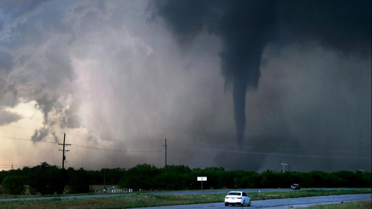
The most severe conditions are expected in the Texas Panhandle, particularly around Amarillo. Wind gusts here could exceed 65 mph along major routes like Interstate 40 and U.S. Highway 287. These winds not only increase wildfire spread but also raise concerns about falling debris and potential power outages.
Officials warn that fires under these conditions can spread at alarming speeds—potentially more than two miles per hour—leaving little time for response or evacuation.
Travel and Safety Concerns
Authorities are urging residents to limit travel, especially in open areas where strong crosswinds can make driving dangerous. Loose outdoor items should be secured, and people are advised to avoid any activities that could produce sparks, including outdoor burning or using equipment that may generate heat.
Emergency crews across the region remain on high alert, preparing for rapid response as conditions evolve throughout the day.
Situation Remains Fluid
These extreme fire weather conditions are expected to continue through Wednesday evening. Officials are closely monitoring the situation, with further updates likely early Thursday as the risk may shift or expand eastward.
Residents across the affected regions are encouraged to stay alert, follow local advisories, and be prepared to act quickly if conditions worsen.