Fresno, California — A developing weather pattern across Central California is raising concerns for residents and travelers heading into the Sierra Nevada this weekend, as isolated thunderstorms are expected to bring lightning, gusty winds, and brief heavy rain.
The changing conditions are expected to impact areas stretching from Fresno to higher elevations, including Mammoth Lakes, Bishop, Oakhurst, and Yosemite Valley. While storm chances remain relatively low, the potential hazards—especially lightning—are significant enough to disrupt outdoor plans and mountain travel on Sunday.
What’s Happening and When
According to the National Weather Service office in Hanford, isolated thunderstorms will begin forming late Saturday, with activity increasing into Sunday afternoon.
The most active window is expected between 2 p.m. and 8 p.m. Sunday, when daytime heating fuels storm development. During this period, conditions may change quickly, especially in higher elevations.
Key Risks to Watch
Even though storms will be scattered, they may still bring sudden and dangerous conditions:
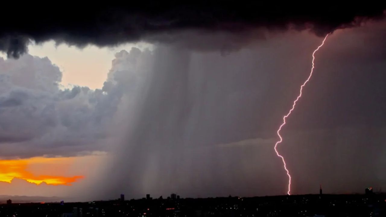
- Lightning: The biggest concern, particularly along exposed ridgelines, hiking trails, and campgrounds
- Gusty Winds: Sudden bursts strong enough to knock down small branches or create driving hazards
- Brief Heavy Rain: Short but intense showers that could make roads slick
- Small Hail: Possible in stronger storm cells
Mountain routes like CA-120, CA-168, and CA-41 may become hazardous, especially in areas with steep terrain or recent burn scars where runoff can develop rapidly.
Travel and Outdoor Impact
Drivers and outdoor enthusiasts should remain alert, particularly during the afternoon and early evening hours. Conditions can shift rapidly in the mountains, and what starts as a clear day can quickly turn stormy.
Campers, hikers, and visitors to national parks should be especially cautious, as lightning can strike far from the center of a storm. Open areas and high elevations carry the greatest risk.
Why This Is Happening
This weather pattern is part of a broader increase in atmospheric instability across the Sierra Nevada. As daytime temperatures rise, warm air lifts and creates the conditions needed for isolated storm development—a common setup during late spring and summer in mountainous regions.
Safety Tips for Sunday
- Avoid high-elevation areas during peak afternoon hours
- Seek shelter immediately if you hear thunder
- Delay hiking, boating, or exposed outdoor activities
- Keep an eye on changing weather conditions before traveling
What to Expect Next
Storm chances remain isolated, but conditions could shift quickly depending on temperature and moisture levels. Authorities continue to monitor the situation, and updates may follow if storm activity becomes more widespread.
For now, the main takeaway is simple: stay weather-aware, especially Sunday afternoon, when lightning and sudden storms are most likely to create dangerous conditions.